
Near Roosevelt in Klickitat County, Washington — The American West (Northwest)
Erratic Boulder
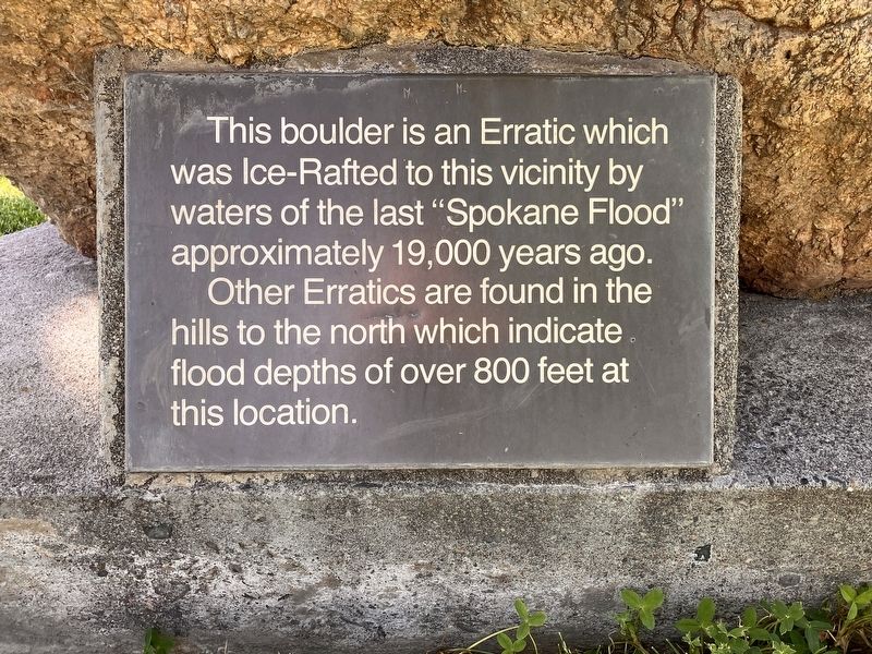
Photographed by Barry Swackhamer, June 13, 2026
1. Erratic Boulder Marker
Other Erratics are found in the hills to the north which indicates flood depths of over 800 feet at this location.
Topics. This historical marker is listed in these topic lists: Natural Features • Waterways & Vessels.
Location. 45° 43.915′ N, 120° 13.293′ W. Marker is near Roosevelt, Washington, in Klickitat County. It can be reached from Roosevelt Ferry Road near Lewis and Clark Highway (Washington Highway 14). The marker is located at the Roosevelt Park Recreation Area. Touch for map. Marker is in this post office area: Roosevelt WA 99356, United States of America. Touch for directions.

Regionally, this marker is in Washington’s Columbia River Gorge, in the Columbia Basin and in Yakima Valley. It is also in the American Mountain West and in the Lewis & Clark Corridor. Globally, it is in North America, in the Cascade Range, on the Ring of Fire, in the Pacific Rim, in the Western Hemisphere, in the Western World,
this page online
Other nearby markers. At least 4 other markers are within 12 miles of this marker, measured as the crow flies: Arlington Oregon Trail Kiosk (approx. 1.2 miles away in Oregon); This Marks the Crossing of the Old Oregon Trail (approx. 8 miles away in Oregon); Rocks, Sand & Wind (approx. 11½ miles away in Oregon); Fourmile Canyon (approx. 11½ miles away in Oregon).
Regarding Erratic Boulder. Erratics are boulders of bedrock that have been transported by a glacier and deposited elswehere, on a different type of bedrock.
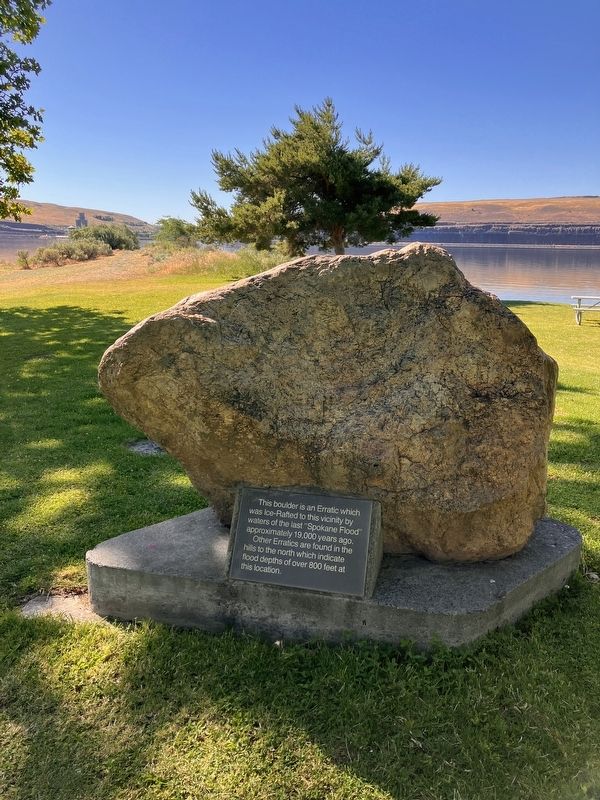
Photographed by Barry Swackhamer, June 13, 2026
2. Erratic Boulder Marker
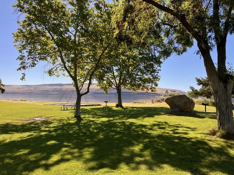
Photographed by Barry Swackhamer, June 13, 2026
3. Erratic Boulder Marker
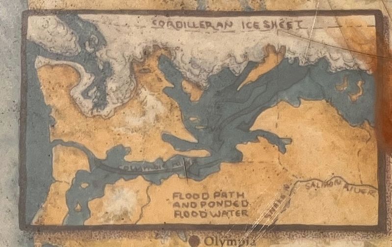
Photographed by Barry Swackhamer, June 11, 2026
4. Arez impacted by the "Spokane Flood."
Credits. This page was last revised on September 12, 2026. It was originally submitted on September 10, 2026, by Barry Swackhamer of Brentwood, California. This page has been viewed 5 times since then. Photos: 1, 2, 3. submitted on September 10, 2026, by Barry Swackhamer of Brentwood, California. 4. submitted on September 12, 2026, by Barry Swackhamer of Brentwood, California.
