Williamsburg in James City County, Virginia — The American South (Mid-Atlantic)
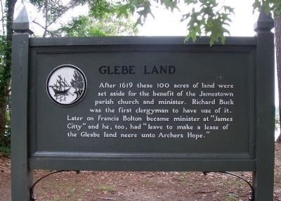
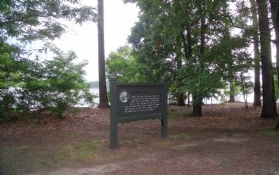
Glebe Land
Topics. This historical marker is listed in these topic lists: Churches & Religion • Colonial Era • Settlements & Settlers. A significant historical year for this entry is 1619.
Location. 37° 12.816′ N, 76° 44.529′ W. Marker is in Williamsburg, Virginia, in James City County. Marker is on Colonial National Historic Parkway, 2.7 miles east of Jamestown Road (Virginia Route 31). Touch for map. Marker is in this post office area: Williamsburg VA 23185, United States of America. Touch for directions.
Other nearby markers. At least 8 other markers are within walking distance of this marker. Jamestown Island (within shouting distance of this marker); Real Estate (approx. 0.4 miles away); The Golden Weed (approx. 0.7 miles away); Silk Worn and Silk Spun (approx. ¾ mile away); A Site of Habitation (approx. 0.8 miles away); Iron for Corn (approx. 0.8 miles away); Neck of Land (approx. 0.9 miles away); Virginia’s Vintage (approx. 0.9 miles away). Touch for a list and map of all markers in Williamsburg.
Also see . . . Colonial Parkway. (Submitted on May 23, 2010.)
Credits. This page was last revised on November 9, 2021. It was originally submitted on May 23, 2010, by Bernard Fisher of Richmond, Virginia. This page has been viewed 1,365 times since then and 51 times this year. Photos: 1, 2. submitted on May 23, 2010, by Bernard Fisher of Richmond, Virginia.

