Ashford in Pierce County, Washington — The American West (Northwest)
Exploring Paradise
Mount Rainier National Park
| — | National Park Service | — |
Photographed by Bill Coughlin, September 7, 2026
1. Exploring Paradise Marker
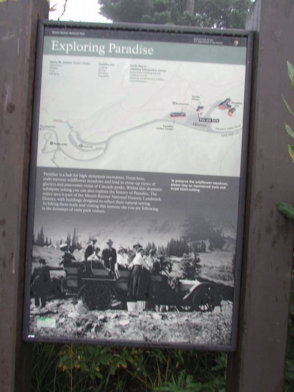
Paradise is a high-mountain reservation. From here, trails traverse wildflower meadows and lead to close-up views of glaciers and panoramic views of Cascade peaks. Within this dramatic subalpine setting you can also explore the history of Paradise. The entire area is part of the Mount Rainier National Historic Landmark District, with buildings designed to reflect their natural setting. In hiking these trails and visiting this historic site you are following in the footsteps of early park visitors.
Topics. This historical marker is listed in these topic lists: Environment • Horticulture & Forestry • Parks & Recreational Areas.
Location. 46° 47.172′ N, 121° 44.136′ W. Marker is in Ashford, Washington, in Pierce County. It is on Paradise Road. Touch for map. Marker is in this post office area: Ashford WA 98304, United States of America. Touch for directions.

Regionally, this marker is in the Puget Sound Region and in Greater Seattle. It is also on the American Pacific Coast, in the Pacific Northwest, and in the Lewis & Clark Corridor. Globally, it is in
this page online
Other nearby markers. At least 8 other markers are within walking distance of this marker: Paradise Ranger Station (a few steps from this marker); Climbers’ Guide House (within shouting distance of this marker); An Ancient Community (within shouting distance of this marker); Historic Paradise Camp Lodge (within shouting distance of this marker); Extreme Snowfall (within shouting distance of this marker); Paradise Inn (about 400 feet away, measured in a direct line); Paradise Historic District (about 400 feet away); Inspired to Preserve (approx. half a mile away). Touch for a list and map of all markers in Ashford.
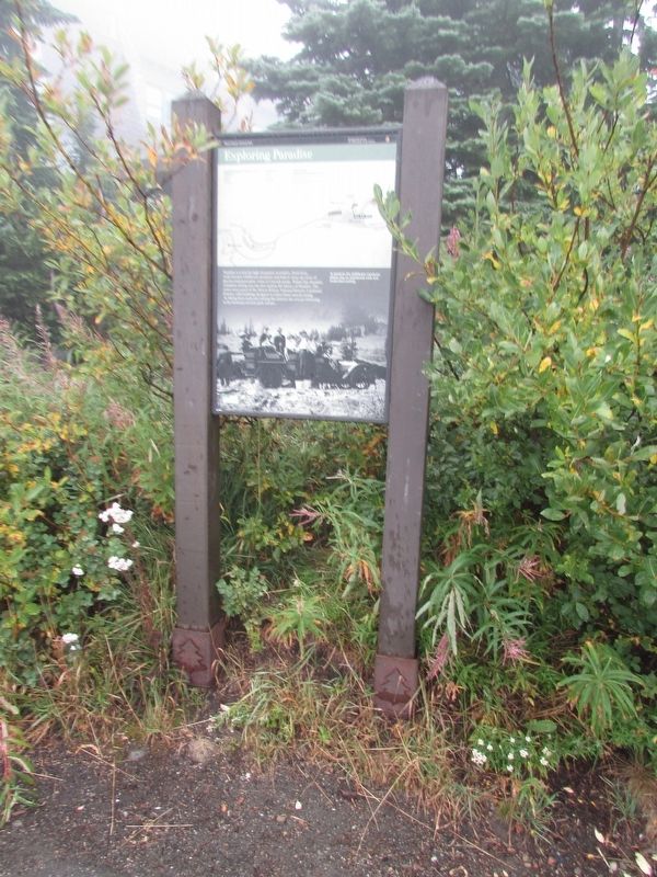
More about this marker. The top of the marker contains a map of the Paradise area. Below is a photograph of early visitors to the area.
Photographed by Bill Coughlin, September 7, 2026
2. Exploring Paradise Marker
Photographed by Bill Coughlin, September 7, 2026
3. Exploring Paradise Marker
Credits. This page was last revised on September 13, 2026. It was originally submitted on September 13, 2026, by Bill Coughlin of Woodland Park, New Jersey. This page has been viewed 3 times since then. Photos: 1, 2, 3. submitted on September 13, 2026, by Bill Coughlin of Woodland Park, New Jersey.
