Grantsville in Garrett County, Maryland — The American Northeast (Mid-Atlantic)
The Town of Grantsville
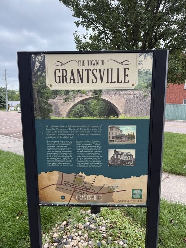
In 1785 Daniel Grant of Baltimore acquired an 1100 acre tract of land called "Cornucopia." The town of Grantsville is located in the center of this tract, named in honor of Daniel Grant. Garrett was established as a separate county in 1872, named after John Garrett, president of the B&O Railroad.
Little Crossings was the town center of those days. It was located where we find Stanton's Mill and the old Casselman Bridge today. Prior to Mr. Grant's arrival on the scene, this area was mostly wilderness but saw traffic from such famous men as George Washington and General Braddock. They passed through here in 1755 on their way to Pittsburgh as part of the ill-fated campaign against Fort Duquesne and the French. They had camps near Hilltop and Little Crossings. These travels prompted the construction of the Braddock Road which roughly followed the Indian trail Nemacolin's Path.
Between 1811 and 1818, the National Road was constructed along the general route of Braddock's Road. Currently Alt. Route 40, the National Road was the first federally funded highway in the U.S and brought much traffic through our area as settlers
this page online
Erected by Town of Grantsville, Maryland.
Topics and series. This historical marker is listed in these topic lists: Bridges & Viaducts • Roads & Vehicles • Settlements & Settlers • War, French and Indian. In addition, it is included in the The Historic National Road series list. A significant historical year for this entry is 1785.
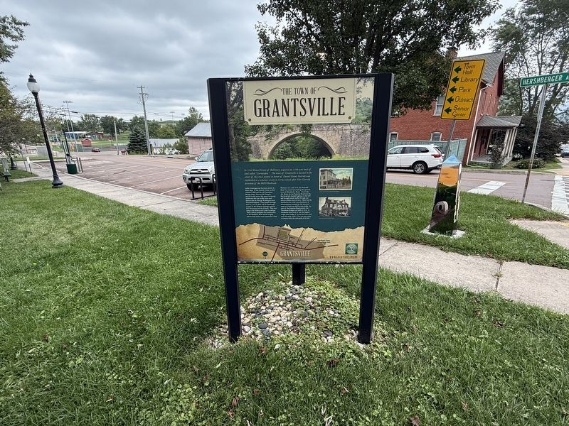
Location. 39° 41.836′ N, 79° 9.489′ W. Marker is in Grantsville, Maryland, in Garrett County. It is at the intersection of Main Street (Alternate U.S. 40) and Hershberger Lane, on the right when traveling west on Main Street. Touch for map. Marker is at or near this postal address: 173 Main St, Grantsville MD 21536, United States of America. Touch for directions.

Regionally, this marker is in Western
Other nearby markers. At least 8 other markers are within walking distance of this marker: Grantsville (here, next to this marker); Mountain Maryland Gateway to the West (here, next to this marker); The National Road (about 300 feet away, measured in a direct line); a different marker also named Leo J. Beachy (about 600 feet away); Early Roads (approx. 0.2 miles away); Traveling the National Road (approx. 0.2 miles away); Casselman Hotel (approx. 0.3 miles away); a different marker also named Traveling the National Road (approx. 0.4 miles away). Touch for a list and map of all markers in Grantsville.
Other markers no longer nearby. Grantsville (was about 300 feet away but has been replaced with another marker now near it); Leo J. Beachy (was about 600 feet away but has been replaced with another marker now near it).
Credits. This page was last revised on September 13, 2026. It was originally submitted on September 13, 2026, by Devry Becker Jones of Washington, District of Columbia. This page has been viewed 7 times since then. Photos: 1, 2. submitted on September 13, 2026, by Devry Becker Jones of Washington, District of Columbia.
