Grantsville in Garrett County, Maryland — The American Northeast (Mid-Atlantic)
Early Roads
Grantsville
| — | Gateway through Garrett County | — |
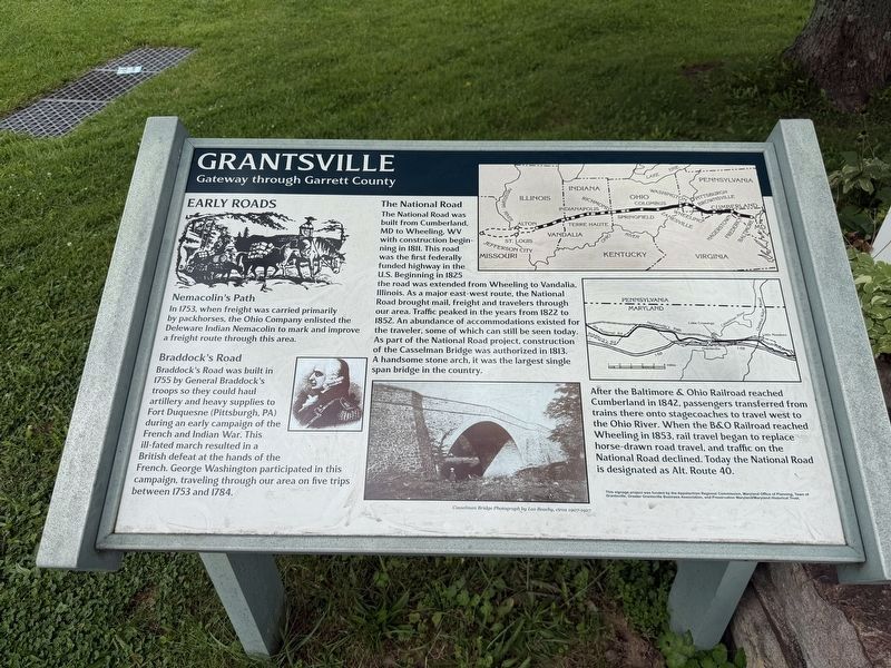
Nemacolin’s Path
In 1753, when freight was carried primarily by packhorses, the Ohio Company enlisted the Delaware Indian Nemacolin to mark and improve a freight route through this area.
Braddock’s Road
Braddock’s Road was built in 1755 by General Braddock’s troops so they could haul artillery and heavy supplies to Fort Duquesne (Pittsburgh, PA) during an early campaign of the French and Indian War. This ill-fated march resulted in a British defeat at the hands of the French. George Washington participated in this campaign, traveling through our area on five trips between 1753 and 1784.
The National Road
The National Road was built from Cumberland, MD to Wheeling, WV with construction beginning in 1811. This road was the first federally funded highway in the U.S. Beginning in 1825 the road was extended from Wheeling to Vandalia, Illinois. As a major east-west route, the National Road brought mail, freight and travelers through our area. Traffic peaked in the years from 1822 to 1852. An abundance of accommodations existed for the traveler, some of which can still be seen today. As part of the National Road project,
this page online
After the Baltimore & Ohio Railroad reached Cumberland in 1842, passengers transferred from trains there onto stagecoaches to travel west to the Ohio River. When the B&O Railroad reached Wheeling in 1853, rail travel began to replace horse-drawn road travel, and traffic on the National Road declined. Today the National Road is designated as Alt. Route 40.
Erected by Appalachian Regional Commission, Maryland Office of Planning, Town of Grantsville, Greater Grantsville Business Association, and Preservation Maryland/Maryland Historical Trust.
Topics and series. This historical marker is listed in these topic lists: Bridges & Viaducts • Indigenous Peoples and Communities • Railroads & Streetcars • Roads & Vehicles. In addition, it is included in the Baltimore and Ohio Railroad (B&O), and the The Historic National Road series lists. A significant historical year for this entry is 1753.
Location. 39° 41.873′ N, 79° 9.315′ W. Marker is in Grantsville, Maryland, in Garrett County. It
Photographed by Devry Becker Jones (CC0), September 12, 2026
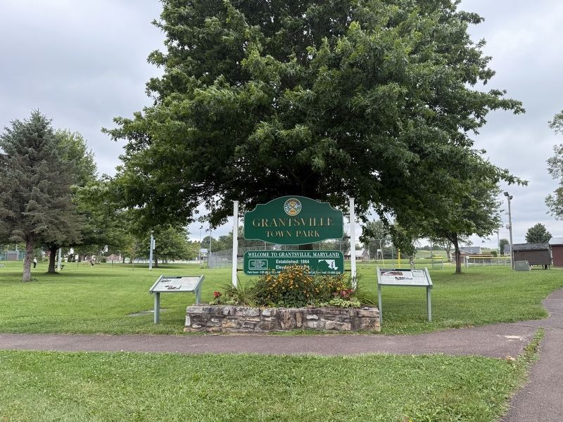
2. Markers on the grounds of Grantsville Town Park

Regionally, this marker is in Western Maryland. It is also in the American Mid-Atlantic, in Appalachia, and specifically in Northern Appalachia. Globally, it is in North America, the Western Hemisphere, the Western World, and the Anglosphere. Historically, it finds itself in what was once one of the original Thirteen Colonies.
Other nearby markers. At least 8 other markers are within walking distance of this marker: Traveling the National Road (here, next to this marker); a different marker also named Leo J. Beachy (about 400 feet away); The National Road (about 600 feet away); Mountain Maryland Gateway to the West (approx. 0.2 miles away); a different marker also named Grantsville (approx. 0.2 miles away); The Town of Grantsville (approx. 0.2 miles away); Casselman Hotel (approx. ¼ mile away); a different marker also named Traveling the National Road (approx. ¼ mile away). Touch for a list and map of all markers in Grantsville.
Other markers no longer nearby. Leo J. Beachy (was about 400 feet away, measured in a direct line but has been replaced with another marker now near it); Grantsville (was about 600 feet away but has been replaced with another marker now near it).
Credits. This page was last revised on September 13, 2026. It was originally submitted on September 13, 2026, by Devry Becker Jones of Washington, District of Columbia. This page has been viewed 6 times since then. Photos: 1, 2. submitted on September 13, 2026, by Devry Becker Jones of Washington, District of Columbia.
