Solvang in Santa Barbara County, California — The American West (Pacific Coastal)
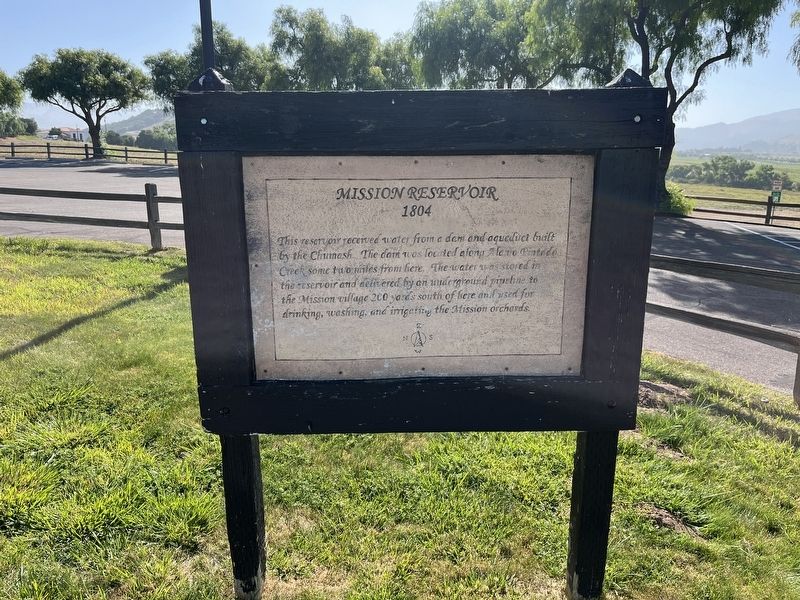
Mission Reservoir
1804
Photographed by Adam Margolis, June 1, 2026
1. Mission Reservoir Marker
Topics. This historical marker is listed in these topic lists: Man-Made Features • Waterways & Vessels.
Location. 34° 35.666′ N, 120° 8.157′ W. Marker is in Solvang, California, in Santa Barbara County. It can be reached from Mission Drive, on the right when traveling east. The marker is located on the grounds of Mission Santa Inéz by the parking lot. Touch for map. Marker is at or near this postal address: 1760 Mission Drive, Solvang CA 93463, United States of America. Touch for directions.

Regionally, this marker is on the Central Coast, specifically on the Coast Ranges, and specifically in the Transverse Ranges. It is also on the American Pacific Coast. Globally, it is in North America, on the Ring of Fire, on the Pacific
this page online
Other nearby markers. At least 8 other markers are within walking distance of this marker: Mission Santa Inéz (within shouting distance of this marker); Fray Junipero Serra (within shouting distance of this marker); This is the Original 19th Arch (about 300 feet away, measured in a direct line); Mission Rose Garden (about 300 feet away); The Legendary Mission Grape (about 300 feet away); Mission Grape Exhibit (about 300 feet away); Mission Life (about 400 feet away); Bit O' Denmark (approx. 0.2 miles away). Touch for a list and map of all markers in Solvang.
Photographed by Adam Margolis, June 1, 2026
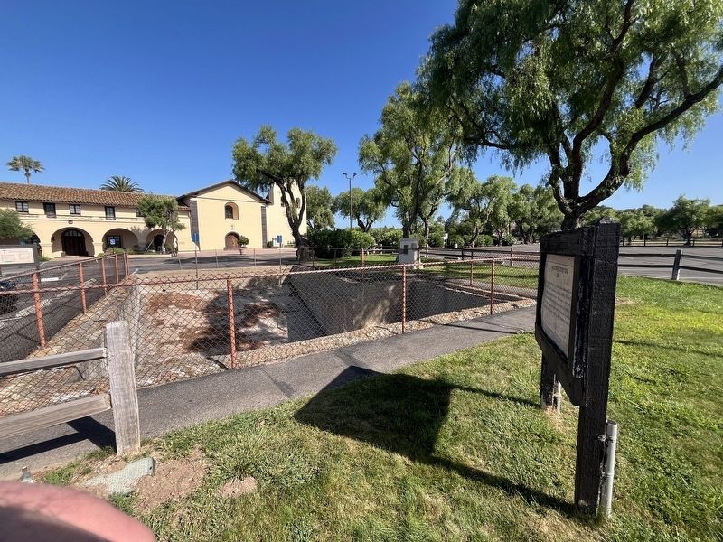
2. Mission Reservoir Marker
Photographed by Adam Margolis, June 1, 2026
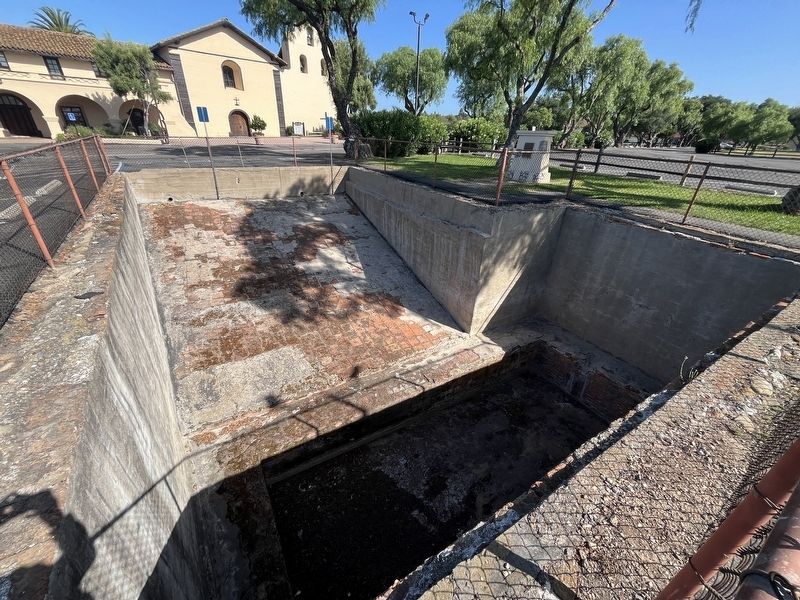
3. Mission Reservoir Marker
Credits. This page was last revised on September 14, 2026. It was originally submitted on September 13, 2026, by Adam Margolis of Mission Viejo, California. This page has been viewed 12 times since then. Photos: 1, 2, 3. submitted on September 13, 2026, by Adam Margolis of Mission Viejo, California. • Andrew Ruppenstein was the editor who published this page.
