Claremont in Los Angeles County, California — The American West (Pacific Coastal)
Joāt Park
Formerly Cahuilla Park
Photographed by Craig Baker, September 13, 2026
1. Joāt Park Marker
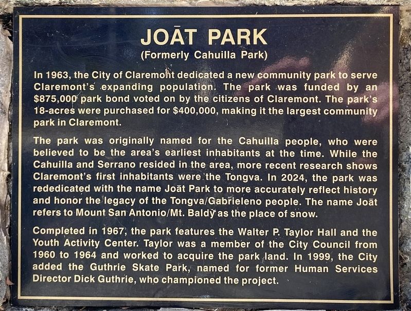
In 1963, the City of Claremont dedicated a new community park to serve Claremont's expanding population. The park was funded by an $875,000 park bond voted on by the citizens of Claremont. The park's 18-acres were purchased for $400,000, making it the largest community park in Claremont.
The park was originally named for the Cahuilla people, who were believed to be the area's earliest inhabitants at the time. While the Cahuilla and Serrano resided in the area, more recent research shows Claremont's first inhabitants were the Tongva. In 2024, the park was rededicated with the name Joāt Park to more accurately reflect history and honor the legacy of the Tongva/Gabrieleno people. The name Joāt refers to Mount San Antonio/Mt. Baldy as the place of snow.
Completed in 1967, the park features the Walter P. Taylor Hall and the Youth Activity Center. Taylor was a member of the City Council from 1960 to 1964 and worked to acquire the park land. In 1999, the City added the Guthrie Skate Park,
this page online
Joāt Park
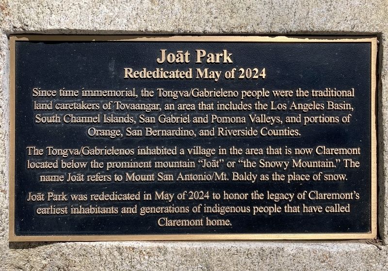
Rededicated May of 2024
Since time immemorial, the Tongva/Gabrieleno people were the traditional land caretakers of Tovaangar, an area that includes the Los Angeles Basin, South Channel Islands, San Gabriel and Pomona Valleys, and portions of Orange, San Bernardino, and Riverside Counties.
The Tongva/Gabrielenos inhabited a village in the area that is now Claremont located below the prominent mountain "Joāt” or "the Snowy Mountain.” The name Joāt refers to Mount San Antonio/Mt. Baldy as the place of snow.
Joāt Park was rededicated in May of 2024 to honor the legacy of Claremont's earliest inhabitants and generations of indigenous people that have called Claremont home.
Topics. This historical marker is listed in these topic lists: Indigenous Peoples and Communities • Parks & Recreational Areas. A significant historical year for this entry is 1963.
Location. 34° 6.916′ N, 117° 43.225′ W.
Photographed by Craig Baker, June 12, 2026
2. Joāt Park Marker

Regionally, this marker is in Greater Los Angeles and in the Transverse Ranges. It is also on the American Pacific Coast. Globally, it is in North America, on the Ring of Fire, on the Pacific Rim, in the Western Hemisphere, in the Western World, and in the Anglosphere. Historically, it finds itself in what was once New Spain and also Mexico’s Alta California.
Other nearby markers. At least 8 other markers are within one mile of this marker, measured as the crow flies: Cahuilla Park (here, next to this marker); Alexander Hughes Community Center (approx. ¾ mile away); Lewis Park (approx. 0.8 miles away); Chaparral Park (approx. 0.8 miles away); Memorial Park (approx. 0.9 miles away); Claremont's Agricultural Heritage
Photographed by Craig Baker, June 12, 2026
3. Joāt Park Marker
Photographed by Craig Baker, September 13, 2026
4. Joāt Park Marker
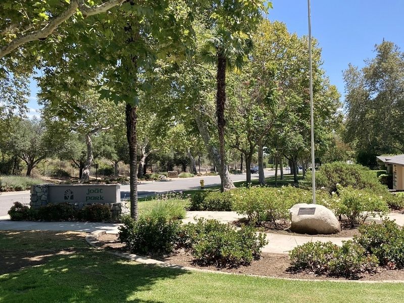
Photographed by Craig Baker, June 12, 2026
5. Joāt Park Markers
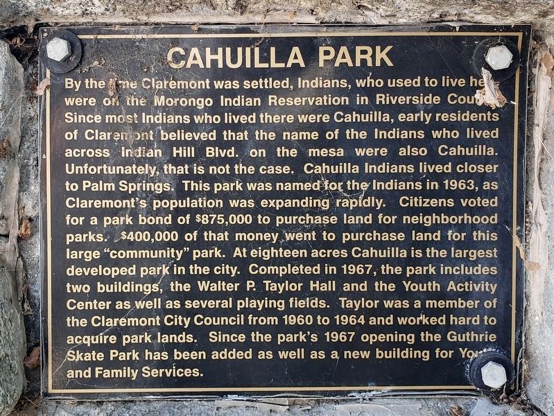
Photographed by Levi Gonzalez, June 7, 2020
6. Original Marker
Credits. This page was last revised on September 15, 2026. It was originally submitted on September 15, 2026, by Craig Baker of Sylmar, California. This page has been viewed 10 times since then. Photos: 1, 2, 3, 4, 5, 6. submitted on September 15, 2026, by Craig Baker of Sylmar, California.
