Ashford in Pierce County, Washington — The American West (Northwest)
River-Carved Canyon
Mount Rainier National Park
| — | National Park Service | — |
Photographed by Bill Coughlin, September 7, 2026
1. River-Carved Canyon Marker
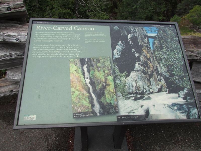
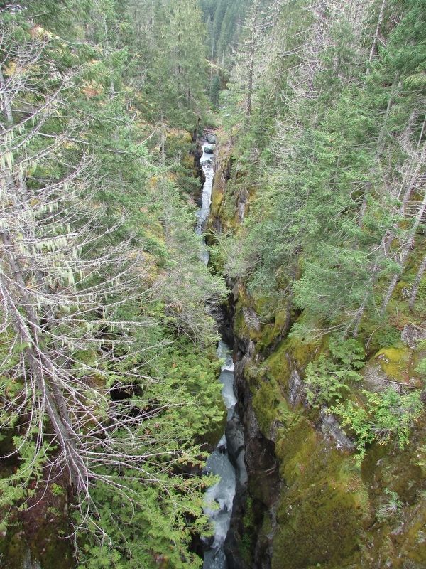
Not every feature of this terrain is ice-carved. Box Canyon began as a crack in the granite bedrock. The canyon-cutting is ongoing: listen for the clatter of cobbles and sometimes boulders in the powerful current, battering the rock walls.
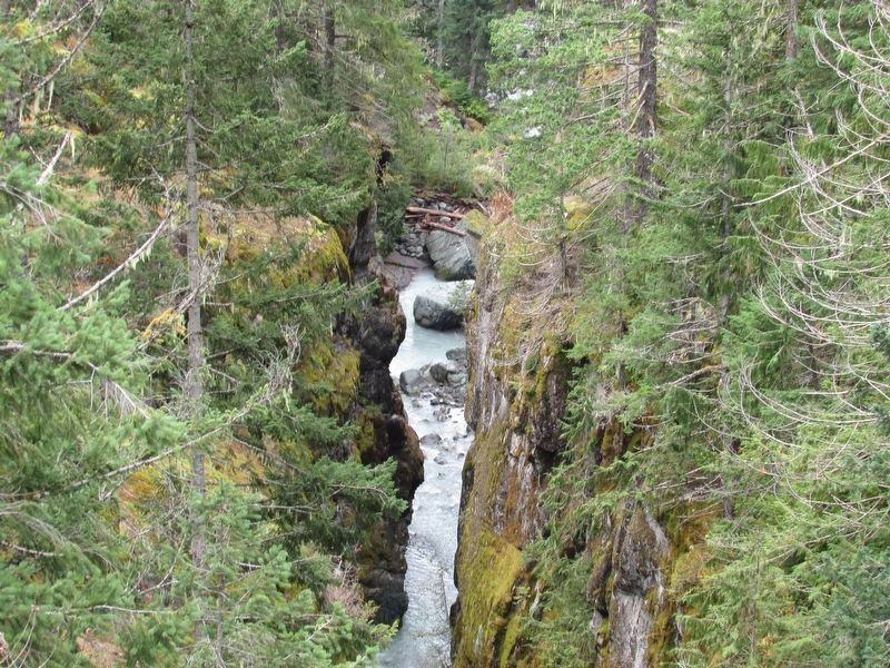
The stream issues from the terminus of the Cowlitz Glacier, only three miles up canyon from here. Even at that distance the glaciers’ influence on this valley is pervasive. Visible from bridge or trail, the river’s milky color identifies it as glacial meltwater, opaque with rock fragments scraped from the mountain’s flanks.
The glacier has melted back from this area, but the glacier-fed river continues to slice downward through the rock. The gorge is 115 feet deep yet only thirteen feet wide at its narrowest point.
Topics. This historical marker is listed in these topic lists: Natural Features • Waterways & Vessels.
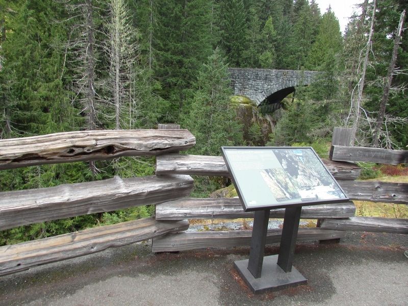
Location. 46° 45.909′ N, 121° 38.111′ W. Marker is in Ashford, Washington, in Pierce County. It is on Stevens Canyon Road, on the left when traveling west. Two photographs on the right of the marker show Box Canyon from
this page online

Regionally, this marker is in the Puget Sound Region and in Greater Seattle. It is also on the American Pacific Coast, in the Pacific Northwest, and in the Lewis & Clark Corridor. Globally, it is in North America, in the Cascade Range, in the Inside Passage, on the Ring of Fire, on the Pacific Rim, in the Western Hemisphere, in the Western World, and in the Anglosphere.
Other nearby markers. At least 8 other markers are within 5 miles of this marker, measured as the crow flies: Glacier Scars (a few steps from this marker); A Forest Returns (within shouting distance of this marker); Stevens-Van Trump Monument (approx. 4.3 miles away); Rescuing Reflection Lakes (approx. 4.4 miles away); Inspired to Preserve (approx. 4.7 miles away); Paradise Historic District (approx. 4.9 miles away); Paradise Inn (approx. 4.9 miles away); Extreme Snowfall (approx. 4.9 miles away). Touch for a list and map of all markers in Ashford.
More about this marker. Marker is at the
Photographed by Bill Coughlin, September 7, 2026
2. River-Carved Canyon Marker
Photographed by Bill Coughlin, September 7, 2026
3. River-Carved Canyon
Photographed by Bill Coughlin, September 7, 2026
4. Box Canyon
Credits. This page was last revised on September 18, 2026. It was originally submitted on September 18, 2026, by Bill Coughlin of Woodland Park, New Jersey. This page has been viewed 4 times since then. Photos: 1, 2, 3, 4. submitted on September 18, 2026, by Bill Coughlin of Woodland Park, New Jersey.
