Ashford in Pierce County, Washington — The American West (Northwest)
Rescuing Reflection Lakes
Mount Rainier National Park
| — | National Park Service | — |
Photographed by Bill Coughlin, September 7, 2026
1. Rescuing Reflection Lakes Marker
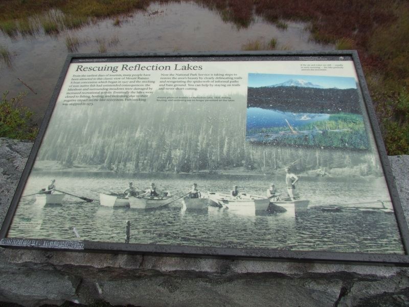
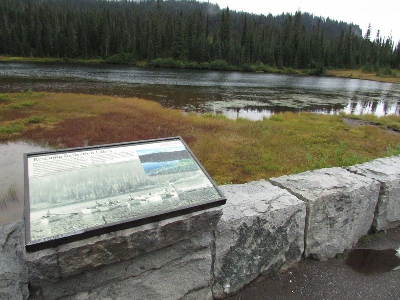
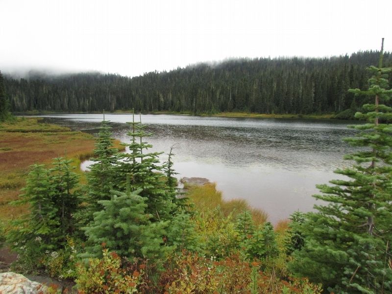
From the earliest days of tourism, many people have been attracted to this classic view of Mount Rainier. A boat concession which began in 1927 and the stocking of non-native fish had unintended consequences: the lakeshore and surrounding meadows were damaged by increased recreational activity. Eventually the lakes were closed to fishing, boating, and swimming due to their negative impact on the lake ecosystem. Fish stocking was stopped in 1973.
Now the National Park Service is taking steps to restore the area’s beauty by clearly delineating trails and revegetating the spiderweb of informal paths and bare ground. You can help by staying on trails and never short-cutting.
Topics. This historical marker is listed in these topic lists: Environment • Waterways & Vessels. A significant historical year for this entry is 1927.
Location. 46° 46.094′ N, 121° 43.711′ W. Marker is in Ashford, Washington, in Pierce County. It is on Stevens Canyon Road, on the right when traveling west. Marker is at a pulloff at Reflection Lakes. Touch for map. Marker is in this post office area: Ashford WA 98304, United States of America. Touch for directions.

Regionally,
this page online
Other nearby markers. At least 8 other markers are within 2 miles of this marker, measured as the crow flies: Narada Falls (approx. 0.9 miles away); a different marker also named Narada Falls (approx. one mile away); An Ancient Community (approx. 1.3 miles away); Historic Paradise Camp Lodge (approx. 1.3 miles away); Paradise Ranger Station (approx. 1.3 miles away); Exploring Paradise (approx. 1.3 miles away); Paradise Historic District (approx. 1.3 miles away); Extreme Snowfall (approx. 1.3 miles away). Touch for a list and map of all markers in Ashford.
More about this marker. The bottom of the marker contains an “Historic photo of boaters on Reflection Lake, 1929. Fishing, boating, and swimming are no longer permitted on the lakes." At the upper right is
Photographed by Bill Coughlin, September 7, 2026
2. Rescuing Reflection Lakes Marker
Photographed by Bill Coughlin, September 7, 2026
3. Reflection Lakes
Credits. This page was last revised on September 18, 2026. It was originally submitted on September 18, 2026, by Bill Coughlin of Woodland Park, New Jersey. This page has been viewed 5 times since then. Photos: 1, 2, 3. submitted on September 18, 2026, by Bill Coughlin of Woodland Park, New Jersey.
