Ringgold in Pittsylvania County, Virginia — The American South (Mid-Atlantic)
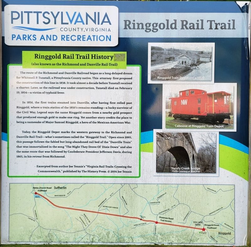
Ringgold Rail Trail History
(also known as the Richmond and Danville Rail Trail)
| — | Ringgold Rail Trail | — |
Photographed by C. Ryan Dodson, September 18, 2026
1. Ringgold Rail Trail History Marker
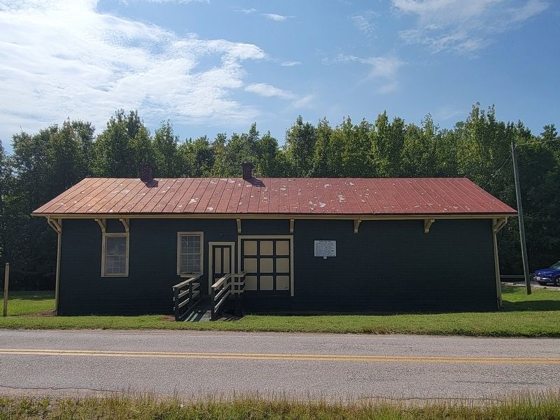
In 1856, the first trains steamed into Danville, after having first rolled past Ringgold, where a train station of the 1850's remains standing—a lucky survivor of the Civil War. Legend says the name Ringgold comes from a nearby gold prospect that produced enough gold to make one ring. Yet another story credits the place to being a namesake of Major Samuel Ringgold, a hero of the Mexican-American War.
Today, the Ringgold Depot marks the western gateway to the Richmond and Danville Rail-Trail—what's sometimes called the "Ringgold Trail." Open since 2001, this passage follows the fabled but long-abandoned rail bed of the "Danville Train" that was immortalized in the song "The Night They Drove Ol' Dixie Down" and also the same route that was followed by
this page online
- Excerpted from author Joe Tennis's "Virginia Rail Trails: Crossing the Commonwealth," published by The History Press. 2014 Joe Tennis
(captions)
Ringgold Train Depot circa 1920
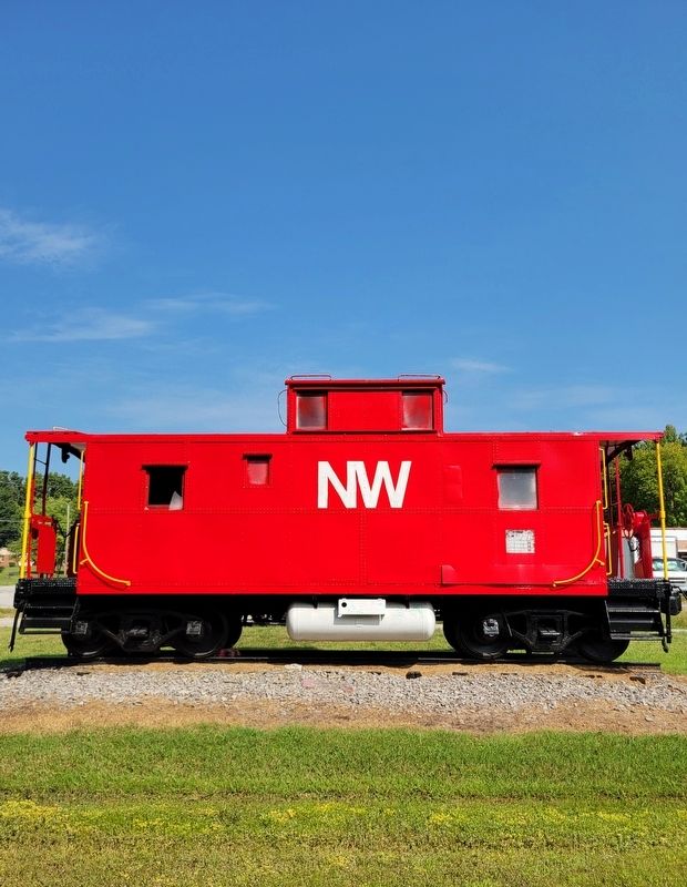
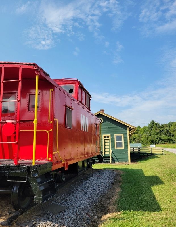
Caboose at Ringgold Train Depot
Sandy Creek Bridge Photo courtesy of Matt Bell
Erected by Pittsylvania County.
Topics. This historical marker is listed in these topic lists: Parks & Recreational Areas • Railroads & Streetcars • War, US Civil. A significant historical year for this entry is 1856.
Location. 36° 36.458′ N, 79° 17.796′ W. Marker is in Ringgold, Virginia, in Pittsylvania County. It is at the intersection of Ringgold Depot Road and Ringgold Church Road, on the left when traveling west on Ringgold Depot Road. Located at the Ringgold Road Trailhead. Touch for map. Marker is at or near this postal address: 100 Ringgold Depot Lane, Ringgold VA 24586, United States of America. Touch for directions.

Regionally, this marker is in Southern Virginia, specifically in the Piedmont, and in Southside Virginia. It is also in the American South and specifically
Photographed by C. Ryan Dodson, September 18, 2026
2. Ringgold Rail Trail History Marker
Other nearby markers. At least 8 other markers are within 5 miles of this marker, measured as the crow flies: Ringgold Freight Station (within shouting distance of this marker); Archer T. Gammon (approx. 2½ miles away); Dix's Ferry (approx. 3.1 miles away); USS Buffalo (SSN-715) (approx. 3.8 miles away); a different marker also named Archer T. Gammon (approx. 4.6 miles away); POW-MIA Memorial (approx. 4.7 miles away); POW★MIA (approx. 4.7 miles away); Moffett (approx. 4.7 miles away).
Photographed by C. Ryan Dodson, September 18, 2026
3. Ringgold Rail Trail History Marker
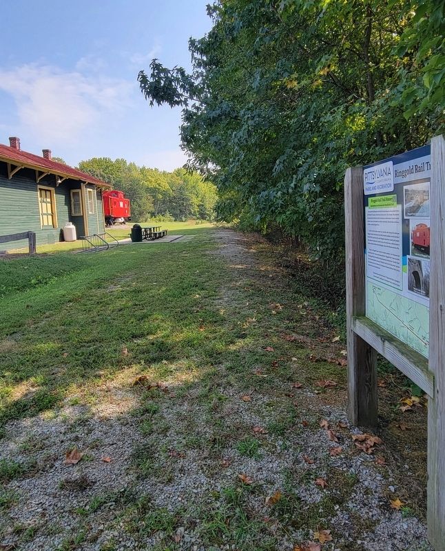
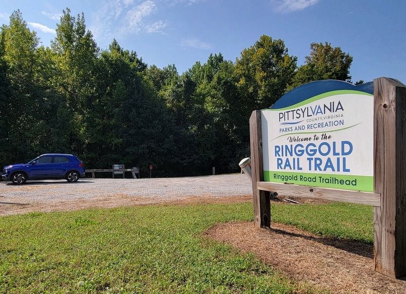
The Marker is located along the Ringgold Rail Trail.
Photographed by C. Ryan Dodson, September 18, 2026
4. Caboose
As shown on the Marker.
Photographed by C. Ryan Dodson, September 18, 2026
5. Ringgold Freight Station
As shown on the Marker.
Photographed by C. Ryan Dodson, September 18, 2026
6. Ringgold Freight Station and train caboose
Credits. This page was last revised on September 30, 2026. It was originally submitted on September 18, 2026, by C. Ryan Dodson of Danville, Virginia. This page has been viewed 8 times since then. Photos: 1, 2, 3, 4, 5, 6. submitted on September 18, 2026, by C. Ryan Dodson of Danville, Virginia. • Bernard Fisher was the editor who published this page.
