Girdwood in Anchorage, Alaska — Northwest (North America)
Chugach National Forest
Photographed by Bill Coughlin, August 27, 2026
1. Chugach National Forest Marker
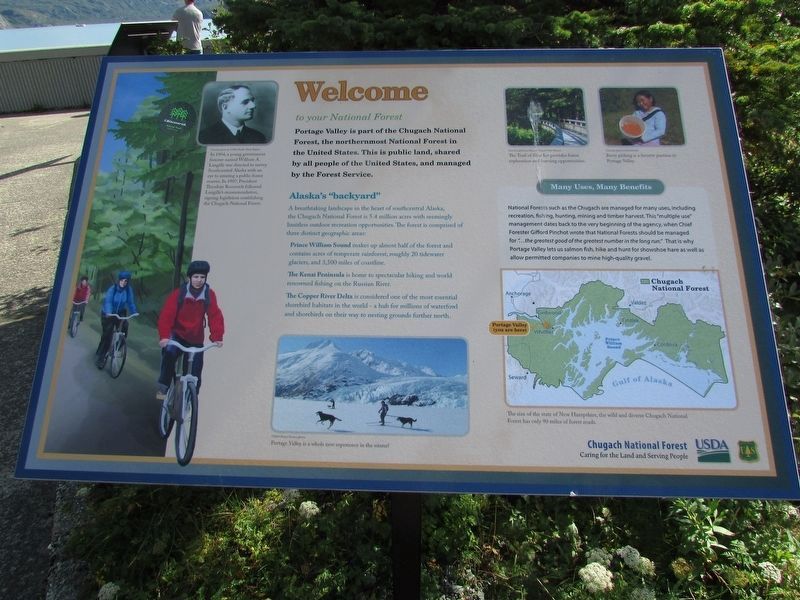
Alaska’s “backyard”
A breathtaking landscape in the heart of southcentral Alaska, the Chugach National Forest is 5.4 million acres with seemingly limitless outdoor recreation opportunities. The forest is comprised of three distinct geographic areas:
Prince William Sound makes up almost half of the forest and contains acres of temperate rainforest, roughly 20 tidewater glaciers, and 3,500 miles of coastline.
The Kanai Peninsula is home to spectacular hiking and world renowned fishing on the Russian River.
The Copper River Delta is considered one of the most essential shorebird habitats in the world – a hub for millions of waterfowl and shorebirds on their way to nesting grounds further north.
Many Uses, Many Benefits
this page online
< Sidebar: >
Under a photo of Langille: “In 1904, a young government forester named William A. Langille was directed to survey Southcentral Alaska with an eye to creating a public forest reserve. In 1907, President Theodore Roosevelt followed Langille’s recommendation, signing legislation establishing the Chugach National Forest.
Topics. This historical marker is listed in these topic lists: Environment • Parks & Recreational Areas. A significant historical year for this entry is 1904.
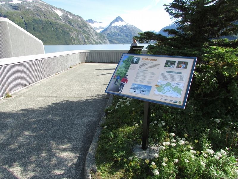
Location. 60° 47.075′ N, 148° 50.492′ W. Marker is in Girdwood in Anchorage, Alaska. It can be reached from Portage Lake Loop, on the right when traveling north. Marker is in front of the Begich, Boggs Visitor Center. Touch for map. Marker is in this post office area: Girdwood AK 99587, United States of America. Touch for directions.

Regionally,
Photographed by Bill Coughlin, August 27, 2026
2. Chugach National Forest Marker
Other nearby markers. At least 7 other markers are within 6 miles of this marker, measured as the crow flies: Coho Salmon Life Cycle (approx. 1.3 miles away); Atlantic Salmon-A Threat to the Chugach National Forest? (approx. 1.3 miles away); 1964 Earthquake (approx. 5.3 miles away); Moose Calves (approx. 5.4 miles away); Our Living National Symbol (approx. 5.4 miles away); A Prickly World (approx. 5½ miles away); Brown Bears of AWCC (approx. 5½ miles away).
More about this marker. Two photographs on the upper right of the marker have captions of “The Trail of Blue Ice provides forest exploration and learning opportunities.” and “Berry picking is a favorite pastime in Portage Valley.” The bottom of the marker contains a map of Portage
Photographed by Bill Coughlin, August 27, 2026
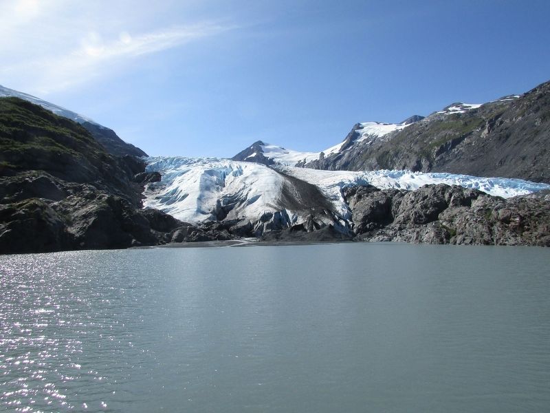
3. Portage Glacier in Chugach National Forest
Photographed by Bill Coughlin, August 27, 2026
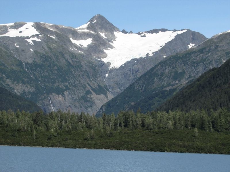
4. Portage Valley
Credits. This page was last revised on September 18, 2026. It was originally submitted on September 18, 2026, by Bill Coughlin of Woodland Park, New Jersey. This page has been viewed 14 times since then. Photos: 1, 2, 3, 4. submitted on September 18, 2026, by Bill Coughlin of Woodland Park, New Jersey.
