Near Pasco in Franklin County, Washington — The American West (Northwest)
"great Columbia river"
Photographed by Barry Swackhamer, June 13, 2026
1. "great Columbia river" Marker
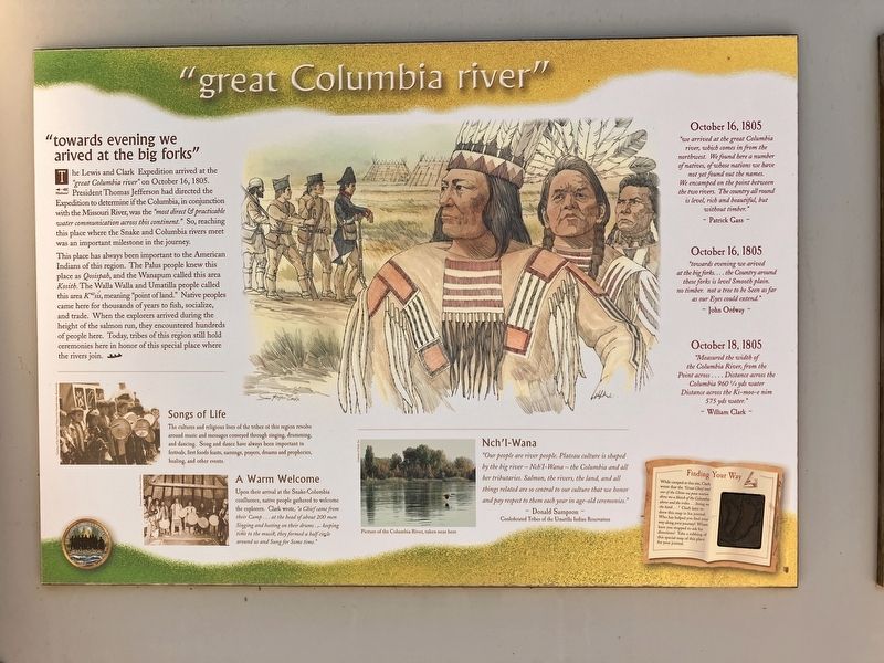
"towards evening we arived at the big forks"
The Lewis and Clark Expedition arrived at the "great Columbia river" on October 16, 1806. President Thomas Jefferson had directed the Expedition to determine if the Columbia, in conjunction with the Missouri River, was the "most direct & practicable water communication across the continent." So, reaching this place where the Snake and Columbia rivers meet was a important milestone in the journey.
This place has always been important to the American Indians of the region. The Palus people knew this place as Qosispah, and the Wanapum called this area Kwsís, meaning "point of land." Native peoples came here for thousands of years to fish, socialize, and trade. When the explorers arrived during the height of the salmon run, they encountered hundreds of people here. Today, tribes of this region still hold ceremonies here in honor of this special place where the rivers. join.
Songs of Life
The cultures and religious lives of the tribes of this region revolve around music and messages conveyed through sining, drumming, and dancing. Song and dance have always been important
this page online
A Warm Welcome
Upon their arrival at the Snake-Columbia confluence, native people gathered to welcome the explorers. Clark wrote, "a Chief came from their Camp ...at the head of about 200 men Siniing and beeting on their drums ...keeping time to the musik, they formed a half circle around us and Sung for Some time."
Nch'i-Wana
"Our people are river people, Plateau culture is shaped by the big river - Nch'i-Wana - the Columbia and all her tributaries. Salmon, the rivers, the land, and all things related are so central to our culture that we honor and pay respect to them each year in age-old ceremonies.
Confederated Tribes of the Umatillla Indian Reservation
October 16, 1805
"we arrived at that great Columbia river, which comes in from the northwest. We found here a number of natives, of whose nations we have not yet found out the names. We encamped on the point between the two rivers. The country all around is level, rich and beautiful, but without timber."
Patrick Gass
October 16, 1805
Photographed by Barry Swackhamer, June 13, 2026
2. "great Columbia river" Marker
"towards evening we arived at the big forks ...the Country around these forks is level Smooth plain. no timber, not a tree to be seen as far as our Eyes could extend."
John Ordway
October 18, 1805
Measured the width of the Columbia River, form the Point across ...Distance across the Columbia 960 3/4 yds water Distance across the Ki-moo-e nim 575 yds water."
William Clark
Erected by Washington Lewis & Clark Expedition Bicentennial Commission.
Topics. This historical marker is listed in these topic lists: Exploration • Horticulture & Forestry • Natural Features • Waterways & Vessels. A significant historical date for this entry is October 16, 1806.
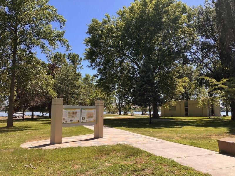
Location. 46° 11.969′ N, 119° 2.332′ W. Marker is near Pasco, Washington, in Franklin County. It is on Sacajawea Park Road near South Road 40 East. Theis marker is located in Sacajawea Park. Touch for map. Marker is at or near this postal address: 2503 Sacajawea Park Rdoad, Pasco WA 99301, United States of America. Touch for directions.

Regionally, this marker is in Washington’s Columbia Basin. It is also in the American Mountain West and in the Lewis & Clark Corridor. Globally, it is in North America, on the Pacific Rim, in the Western Hemisphere, in the Western World, and in the Anglosphere.
Other nearby markers. At least 8 other markers are within walking distance of this marker: "Sah-cah-ga-weah" (here, next to this marker); Lewis and Clark National Historic Trail (here, next to this marker); Snake River Passage & Columbia Plains Crossing (here, next to this marker); Mayor A. P. Gray (within shouting distance of this marker); Columbia River (within shouting distance of this marker); Snake River (within shouting distance of this marker); At the Confluence (within shouting distance of this marker); Lewis & Clark Camp (within shouting distance of this marker). Touch for a list and map of all markers in Pasco.
Credits. This page was last revised on September 19, 2026. It was originally submitted on September 19, 2026, by Barry Swackhamer of Brentwood, California. Photos: 1, 2. submitted on September 19, 2026, by Barry Swackhamer of Brentwood, California.
