Juneau in Juneau Borough, Alaska — Northwest (North America)
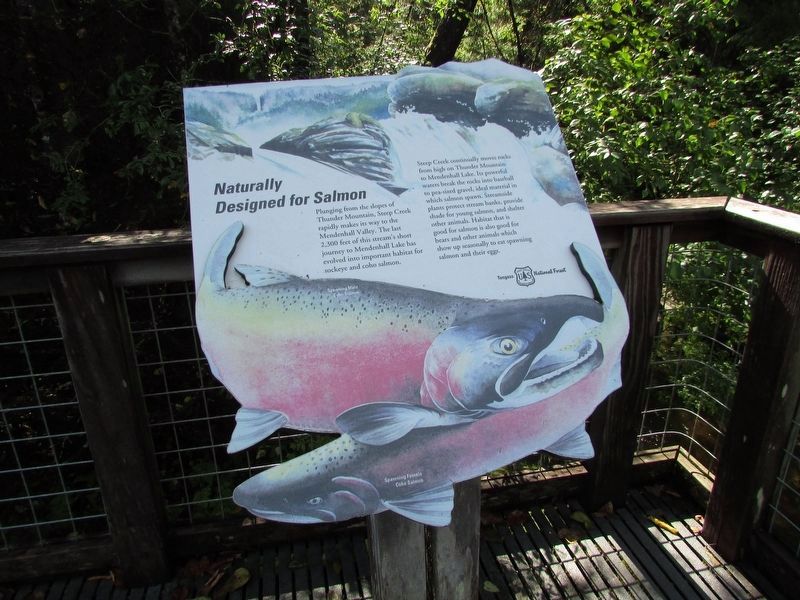
Naturally Designed for Salmon
Photographed by Bill Coughlin, September 1, 2026
1. Naturally Designed for Salmon Marker
Plunging from the slopes of Thunder Mountain, Steep Creek rapidly makes its way to the Mendenhall Valley. The last 2,300 feet of this stream’s short journey to Mendenhall Lake has evolved into important habitat for sockeye and coho salmon.
Steep Creek continually moves rocks from high on Thunder Mountain to Mendenhall Lake. Its powerful waters breaks the rocks into baseball to pea-sized gravel, ideal material in which salmon spawn. Streamside plants protect stream banks, provide shade for young salmon, and shelter other animals. Habitat that is good for salmon is also good for bears and other animals which show up seasonally to eat spawning salmon and their eggs.
Topics. This historical marker is listed in these topic lists: Animals • Environment • Waterways & Vessels.
Location. 58° 24.929′ N, 134° 32.87′ W. Marker is in Juneau, Alaska, in Juneau Borough. It is on Glacier Spur Road, on the left when traveling north. Marker is located in the Glacier Spur Road parking area, near the Steep Creek Trail. Touch for map. Marker is at or near this postal address: 6000
this page online

Regionally, this marker is in Southeast Alaska, in Tlingit and Haida & Tsimshian Region. It is also on the American Pacific Coast. Globally, it is in North America, in the Inside Passage, on the Pacific Rim, in the Western Hemisphere, in the Western World, and in the Anglosphere. Historically, it finds itself in what was once the Russian Empire.
Other nearby markers. At least 8 other markers are within walking distance of this marker: Patterns in a Changing Landscape (about 600 feet away, measured in a direct line); A Valley Air Conditioned by Ice (about 600 feet away); Features in a Glacial Landscape (about 600 feet away); Recolonizing Plants Create Patterns of Change (about 800 feet away); A Flat Spot in the Forest (approx. 0.2 miles away); Presidential Party Visits Glacier (approx. 0.2 miles away); Water from a Rock (approx. 0.2 miles away); A View in Time (approx. 0.2 miles away). Touch for a list and map of all markers in Juneau.
More about this marker. A picture of a Spawning Female Coho Salmon dominates the marker.
Photographed by Bill Coughlin, September 1, 2026
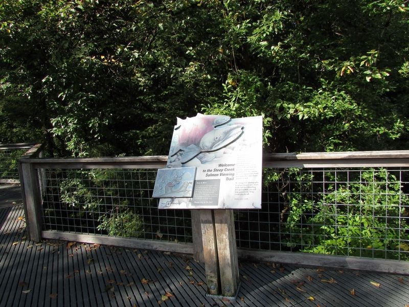
2. Naturally Designed for Salmon Marker
Photographed by Bill Coughlin, September 1, 2026
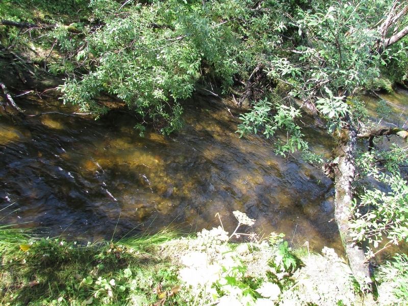
3. Steep Creek
Credits. This page was last revised on September 19, 2026. It was originally submitted on September 19, 2026, by Bill Coughlin of Woodland Park, New Jersey. This page has been viewed 4 times since then. Photos: 1, 2, 3. submitted on September 19, 2026, by Bill Coughlin of Woodland Park, New Jersey.
