Near Pssco, Washington — The American West (Northwest)
Snake River
Photographed by Barry Swackhamer, June 13, 2026
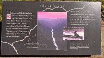
1. Snake River Marker
The Snake River flows over a thousand miles from its headwaters in northwest Wyoming. Flowing from the lefty, the Snake River joins the Columbia River at the confluence in front of you.
[Captions]
RIGHT
The Snake River flows through Hells Canyon (seen here), then meanders west and southwest to joint the Columbia River.
ABOVE
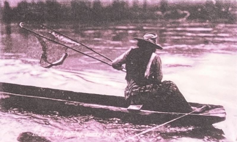
A man fishes for "eel" (anadromous lamprey) on the Snake River about 1902. Like salmon, lampreys live at sea before returning to spawn in freshwater rivers.
Topics. This historical marker is listed in these topic lists: Exploration • Indigenous Peoples and Communities • Waterways & Vessels.
Location. 46° 11.943′ N, 119° 2.357′ W. Marker is near Pssco in , Washington. It can be reached from Sacajawea Park Road near South Road 40
this page online

Regionally, this marker is in the American Lewis & Clark Corridor. Globally, it is in North America, on the Pacific Rim, in the Western Hemisphere, in the Western World, and in the Anglosphere.
Other nearby markers. At least 8 other markers are within walking distance of this marker: Columbia River (here, next to this marker); Lewis & Clark Camp (a few steps from this marker); At the Confluence (within shouting distance of this marker); "Sah-cah-ga-weah" (within shouting distance of this marker); "great Columbia river" (within shouting distance of this marker); Lewis and Clark National Historic Trail (within shouting distance of this marker); Snake River Passage & Columbia Plains Crossing (within shouting distance of this marker); Mayor A. P. Gray (within shouting distance of this marker).
Photographed by Barry Swackhamer, June 13, 2026
2. Snake River Marker (detail): Man fishes for eel.
Photographed by Barry Swackhamer, June 13, 2026
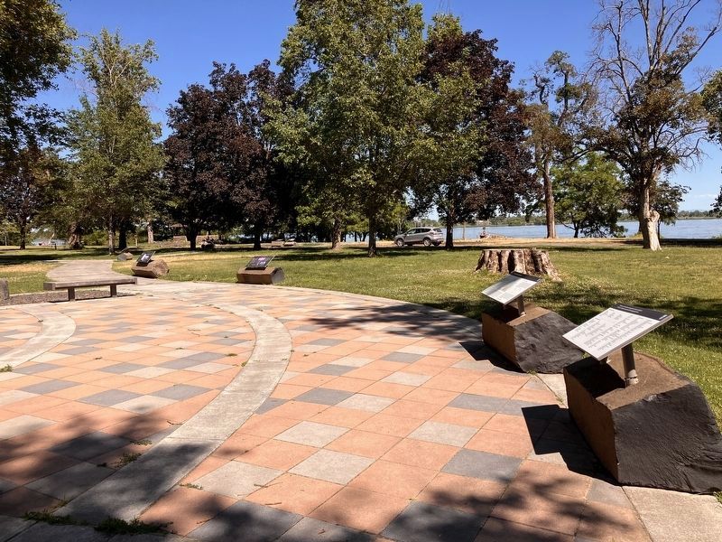
3. Snake River Marker
Marker is second from the far left.
Credits. This page was last revised on September 20, 2026. It was originally submitted on September 20, 2026, by Barry Swackhamer of Brentwood, California. This page has been viewed 6 times since then. Photos: 1, 2, 3. submitted on September 20, 2026, by Barry Swackhamer of Brentwood, California.
