Johnstown in Cambria County, Pennsylvania — The American Northeast (Mid-Atlantic)
What is the Johnstown Local Flood Protection Project?
Photographed by Bradley Owen, August 26, 2026
1. What is the Johnstown Local Flood Protection Project? Marker
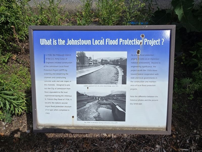
In 1938, the Pittsburgh District of the U.S. Army Corps of Engineers initiated construction of the Johnstown Local Flood Protection Project (JLFPP) by widening and deepening the channels and constructing concrete walls and side slopes in the channels. Designed to protect the City of Johnstown from flows equivalent to the level experienced during the infamous St. Patrick's Day Flood of 1936, it became the nation's second largest flood protection structure of its type when completed in 1943.
As a local flood protection project, it ranks as an impressive national achievement. Beyond its engineering significance, the project recalls the 1930s move toward federal cooperation with state and local governments in the construction and maintenance of local flood protection projects.
Note the difference between the historical photos and the present-day landscape.
(Captions):
Looking upstream from the Johns Street Bridge, June 1941.
The "Point" in Johnstown during construction of the JLFPP.
Topics. This historical marker is listed in these topic lists: Disasters • Government & Politics • Man-Made Features
this page online
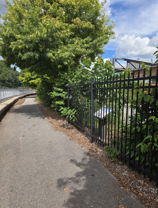
Location. 40° 19.808′ N, 78° 55.443′ W. Marker is in Johnstown, Pennsylvania, in Cambria County. It can be reached from Johns Street north of Washington Street, on the left when traveling north. Marker is located along the walking path on the north side of the Little Conemaugh River. Touch for map. Marker is at or near this postal address: 17 Johns Street, Johnstown PA 15901, United States of America. Touch for directions.

Regionally, this marker is in Pennsylvania’s Laurel Highlands. It is also in the American Northeast, in the Mid-Atlantic, in Appalachia, and specifically in Northern Appalachia. Globally, it is in North America, the Western Hemisphere, the Western World, and the Anglosphere. Historically, it finds itself in what was once the Haudenosaunee (Iroquois) Confederacy and also one of the original Thirteen Colonies.
Other nearby markers. At least 8 other markers are within walking distance of this marker: Johnstown Local Flood Protection Project (within shouting distance of this marker); American Red Cross (within shouting distance
Photographed by Bradley Owen, August 26, 2026
2. What is the Johnstown Local Flood Protection Project? Marker
Credits. This page was last revised on September 20, 2026. It was originally submitted on September 20, 2026, by Bradley Owen of Morgantown, West Virginia. Photos: 1, 2. submitted on September 20, 2026, by Bradley Owen of Morgantown, West Virginia.
