St. Johns Bluff in Jacksonville in Duval County, Florida — The American South (South Atlantic)
Unsolved Mysteries
Fort Caroline National Memorial
| — | Timucuan Ecological and Historic Preserve | — |
Photographed by Stephen Thomas White, February 4, 2026
1. Unsolved Mysteries Marker
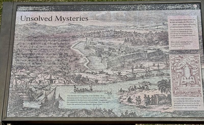
Who were the African colonists mentioned briefly by one of the Frenchmen? Where did the Spaniards camp just before the massacre? And why didn't Jean Ribault’s son, Jacques, fire his ship's cannon at the Spaniards? The questions go on and on.
Three hundred men went out in this armada (to Florida) …there were many of Africans of unrecorded colonies. Frenchman Robert Melenche, captured by the Spaniards in 1565, describing the second French voyage fleet led by Rene Goulane de Laudonniere.
Were these among the first free Africans colonists in North America?
(captions)
This fanciful 1673 engraving of la Caroline—by a European artist who likely never set foot in Florida—adds mountains to the landscape and probably exaggerates the complexity and location of buildings. This view may depict the arrival of Jean Ribault's fleet in 1565.
A settler drew this plan of la Caroline in 1564, when the fort was built. It is believed to be the first print of any structure built by Europeans in the New World.
Erected by National
this page online
Topics. This historical marker is listed in these topic lists: African Americans • Colonial Era • Exploration • Forts and Castles • Parks & Recreational Areas • Settlements & Settlers. A significant historical year for this entry is 1565.
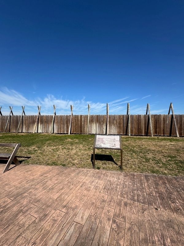
Location. 30° 23.214′ N, 81° 30.041′ W. Marker is in Jacksonville, Florida, in Duval County. It is in St. Johns Bluff. It can be reached from Fort Caroline Road half a mile north of Mt Pleasant Road, on the left when traveling north. The marker is within the grounds of Fort Caroline, approximately 300 yards northwest of the Fort Caroline Visitor Center. Touch for map. Marker is at or near this postal address: 12713 Fort Caroline Rd, Jacksonville FL 32225, United States of America. Touch for directions.

Regionally, this marker is in First Coast. It is also in the American South and on the Eastern Seaboard. Globally, it is in the North Atlantic Region, North America, a Gulf of Mexico state, the Western Hemisphere, the Western World, and the Anglosphere. Historically, it finds itself in what was once New Spain, the territory
Photographed by Stephen Thomas White, February 4, 2026
2. Unsolved Mysteries Marker
Other nearby markers. At least 8 other markers are within walking distance of this marker: Commemorating America’s French Heritage (a few steps from this marker); Bloody Massacre (a few steps from this marker); Fort de la Caroline (within shouting distance of this marker); Building a Village in the Wilderness (within shouting distance of this marker); The Building of la Caroline (about 300 feet away, measured in a direct line); Timucuan Friends (about 700 feet away); French Memorial Trail (approx. 0.2 miles away); The River of May (approx. 0.2 miles away). Touch for a list and map of all markers in Jacksonville.
Credits. This page was last revised on September 30, 2026. It was originally submitted on September 20, 2026, by Stephen Thomas White of Norfolk, Virginia. This page has been viewed 10 times since then. Photos: 1, 2. submitted on September 20, 2026, by Stephen Thomas White of Norfolk, Virginia. • Bernard Fisher was the editor who published this page.
