Johnstown in Cambria County, Pennsylvania — The American Northeast (Mid-Atlantic)
Pittsburgh-to-Harrisburg Main Line Canal Greenway™
Kiski-Conemaugh Water Trail
Photographed by Bradley Owen, August 26, 2026
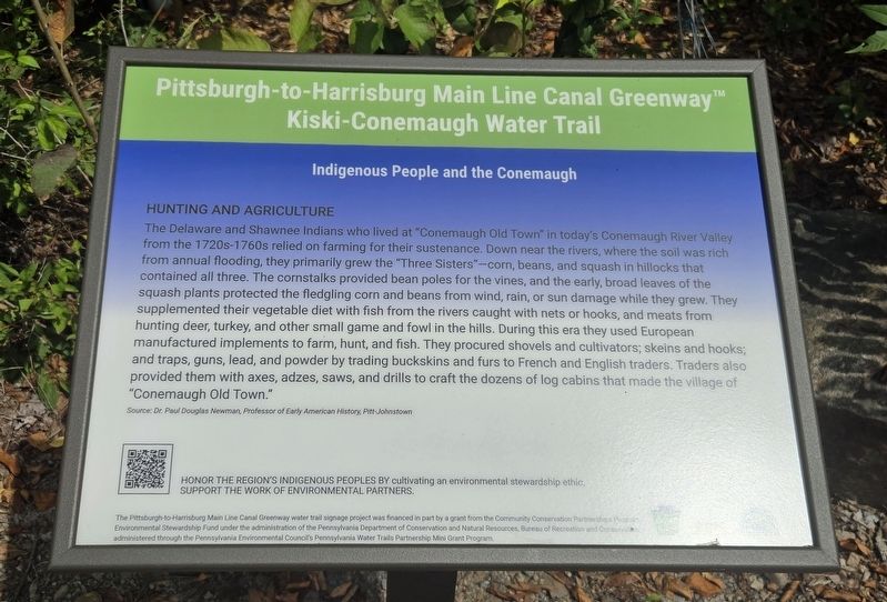
1. Pittsburgh-to-Harrisburg Main Line Canal Greenway™ Marker
Hunting and Agriculture
The Delaware and Shawnee Indians who lived at "Conemaugh Old Town" in today's Conemaugh River Valley from the 1720s-1760s relied on farming for their sustenance. Down near the rivers, where the soil was rich from annual flooding, they primarily grew the "Three Sisters"-corn, beans, and squash in hillocks that contained all three. The cornstalks provided bean poles for the vines, and the early, broad leaves of the squash plants protected the fledgling corn and beans from wind, rain, or sun damage while they grew. They supplemented their vegetable diet with fish from the rivers caught with nets or hooks, and meats from hunting deer, turkey, and other small game and fowl in the hills. During this era they used European manufactured implements to farm, hunt, and fish. They procured shovels and cultivators; skeins and hooks; and traps, guns, lead, and powder by trading buckskins and furs to French and English traders. Traders also provided them with axes, adzes, saws, and drills to craft the dozens of log cabins that made the village of "Conemaugh Old Town."
Source: Dr. Paul Douglas Newman, Professor of Early American History, Pitt-Johnstown
Erected by The
this page online
Topics. This historical marker is listed in these topic lists: Agriculture • Indigenous Peoples and Communities.
Location. 40° 19.781′ N, 78° 55.417′ W. Marker is in Johnstown, Pennsylvania, in Cambria County. It is on Johns Street north of Washington Street, on the left when traveling north. Marker is located at the south end of the walking path on the north side of the Little Conemaugh River. Touch for map. Marker is at or near this postal address: 17 Johns Street, Johnstown PA 15901, United States of America. Touch for directions.

Regionally, this marker is in Pennsylvania’s Laurel Highlands. It is also in the American Northeast, in the Mid-Atlantic, in Appalachia, and specifically in Northern Appalachia. Globally, it is in North America, the Western Hemisphere, the Western World, and the Anglosphere. Historically, it finds itself in what was once the Haudenosaunee (Iroquois) Confederacy and also one of the original Thirteen Colonies.
Other nearby markers. At
Photographed by Bradley Owen, August 26, 2026
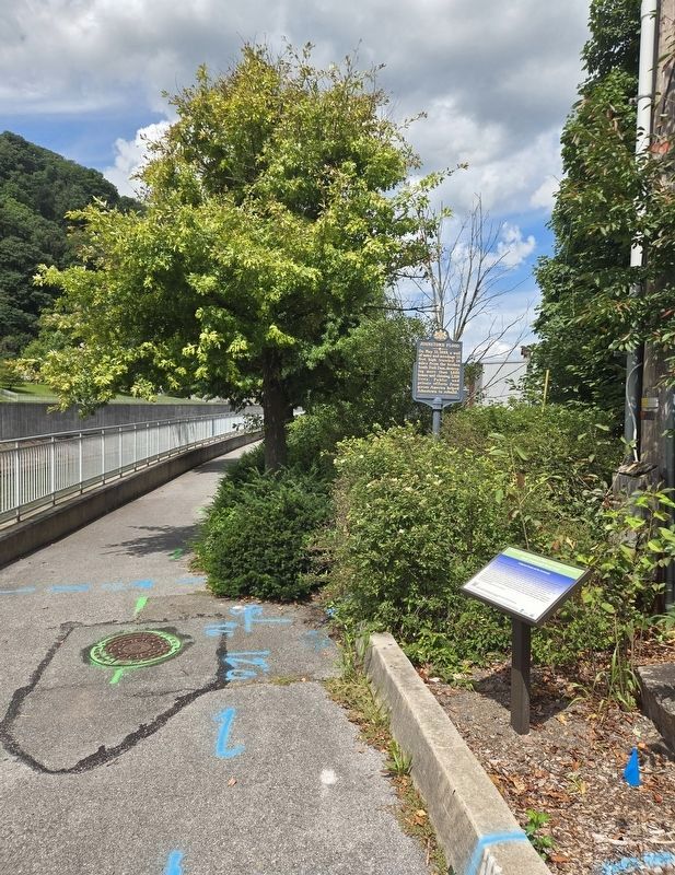
2. Pittsburgh-to-Harrisburg Main Line Canal Greenway™ Marker
The "Johnstown Flood" marker is in the background.
Credits. This page was last revised on September 20, 2026. It was originally submitted on September 20, 2026, by Bradley Owen of Morgantown, West Virginia. This page has been viewed 3 times since then. Photos: 1, 2. submitted on September 20, 2026, by Bradley Owen of Morgantown, West Virginia.
