Brookfield in Worcester County, Massachusetts — The American Northeast (New England)
Quaboag River Crossing
Notes on the History of the River Bridge
Photographed by G.W.Bartlett, September 20, 2026
1. Quaboag River Crossing Marker
Notes on the History of the River Bridge
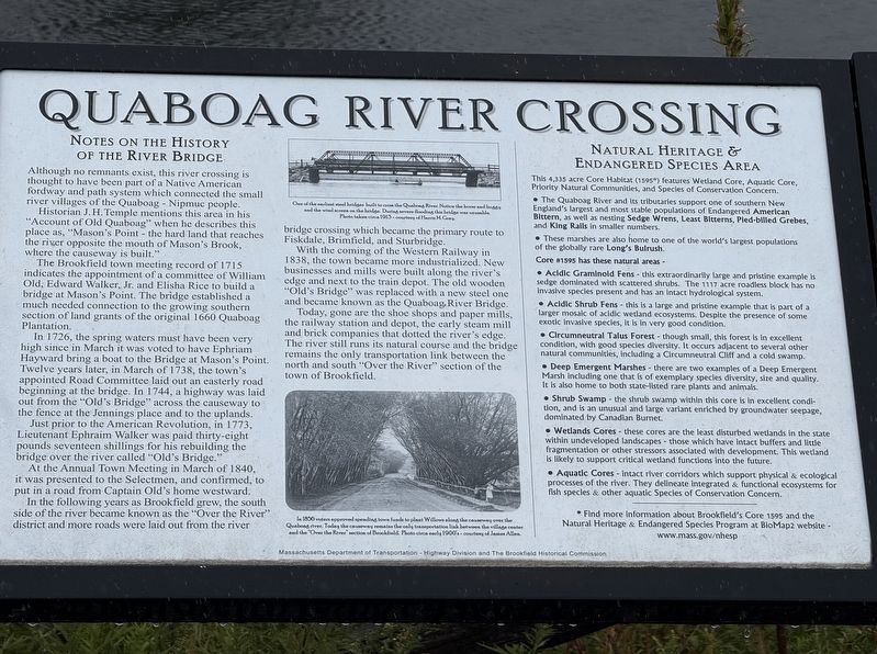
Although no remnants exist, this river crossing is thought to have been part of a Native American fordway and path system which connected the small river villages of the Quaboag Nipmuc people.
Historian J. H. Temple mentions this area in his "Account of Old Quaboag" when he describes this place as, "Mason's Point - the hard land that reaches the river opposite the mouth of Mason's Brook, where the causeway is built."
The Brookfield town meeting record of 1715 indicates the appointment of a committee of William Old, Edward Walker, Jr. and Elisha Rice to build a bridge at Mason's Point. The bridge established a much needed connection to the growing southern section of land grants of the original 1660 Quaboag Plantation.
In 1726, the spring waters must have been very high since in March it was voted to have Ephriam Hayward bring a boat to the Bridge at Mason's Point. Twelve years later, in March of 1738, the town's appointed Road Committee laid out an easterly road beginning at the bridge. In 1744, a highway was laid out from the
this page online
Just prior to the American Revolution, in 1773, Lieutenant Ephraim Walker was paid thirty-eight pounds seventeen shillings for his rebuilding the bridge over the river called "Old's Bridge."
At the Annual Town Meeting in March of 1840, it was presented to the Selectmen, and confirmed, to put in a road from Captain Old's home westward.
In the following years as Brookfield grew, the south side of the river became known as the "Over the River" district and more roads were laid out from the river bridge crossing which became the primary route to Fiskdale, Brimfield, and Sturbridge.
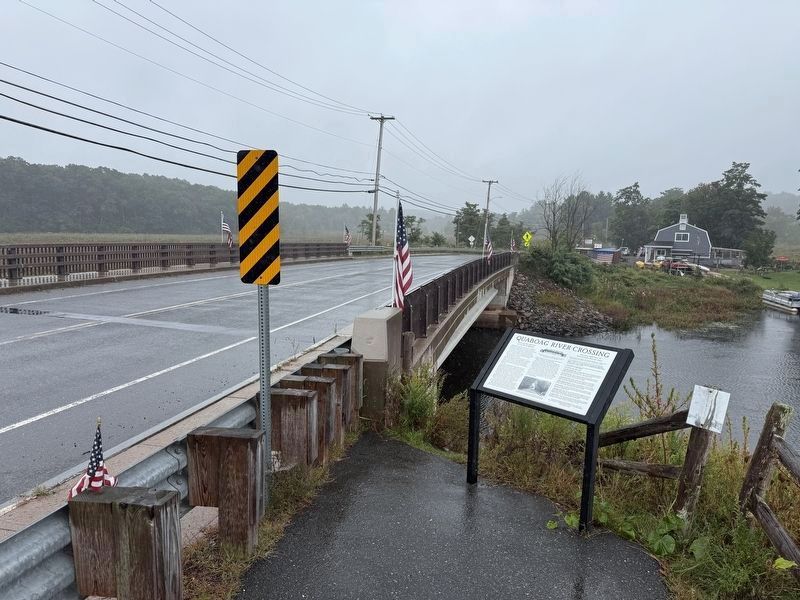
With the coming of the Western Railway in 1838, the town became more industrialized. New businesses and mills were built along the river's edge and next to the train depot. The old wooden "Old's Bridge" was replaced with a new steel one and became known as the Quaboag, River Bridge.
Today, gone are the shoe shops and paper mills, the railway station and depot, the early steam mill and brick companies that dotted the river's edge. The river
Photographed by G.W.Bartlett, September 20, 2026
2. Quaboag River Crossing Marker
Natural Heritage & Endangered Species Area
This 4,335 acre Core Habitat (1595*) features Wetland Core, Aquatic Core, Priority Natural Communities, and Species of Conservation Concern.
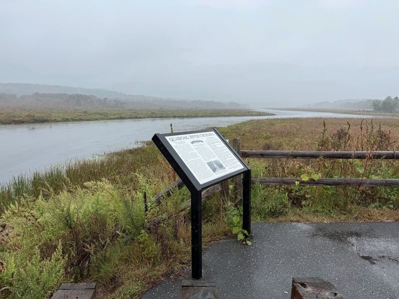
• The Quaboag River and Its tributaries support one of southern New England's largest and most stable populations of Endangered American Bittern, as well as nesting Sedge Wrens, Least Bitterns, Pled-billed Grebes, and King Rails in smaller numbers.
• These marshes are also home to one of the world's largest populations of the globally rare Long's Bulrush.
Core #1595 has these natural areas -
• Acidic Graminold Fens - this extraordinarily large and pristine example is sedge dominated with scattered shrubs. The 1117 acre roadless block has no Invasive species present and has an intact hydrological system.
• Acidic Shrub Fens - this is a large and pristine example that is part of a larger mosaic of acidic wetland ecosystems. Despite the presence of some exotic invasive species,
Photographed by G.W.Bartlett, September 20, 2026
3. Quaboag River Crossing Marker
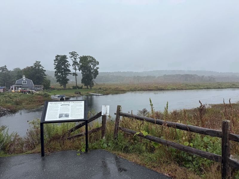
The building across the river at White's Landing hosts a visitor center that displays additional historical information and photographs, along with a gift shop and a kayak launch.
• Circumneutral Talus Forest - though small, this forest is in excellent condition, with good species diversity. It occurs adjacent to several other natural communities, including a Circumneutral Cliff and a cold swamp.
• Deep Emergent Marshes - there are two examples of a Deep Emergent Marsh including one that is of exemplary species diversity, size and quality. It is also home to both state-listed rare plants and animals.
• Shrub Swamp - the shrub swamp within this core is in excellent condition, and is an unusual and large variant enriched by groundwater seepage, dominated by Canadian Burnet.
• Wetlands Cores - these cores are the least disturbed wetlands in the state within undeveloped landscapes - those which have Intact buffers and little fragmentation or other stressors associated with development. This wetland is likely to support critical wetland functions into the future.
• Aquatic Cores - intact river corridors which support physical & ecological processes of the river. They delineate Integrated & functional ecosystems for fish species & other aquatic Species of Conservation Concern.
----------
*
Photographed by G.W.Bartlett, September 20, 2026
4. Quaboag River Crossing Marker
(Image captions)
— One of the earliest steel bridges built to cross the Quaboag River. Notice the horses and buggy and the wind screen on the bridge. During severe flooding this bridge was unusable. Photo taken circa 1913 - courtesy of Harris M. Gray.
— In 1856 voters approved spending town funds to plant Willows along the causeway over the Quaboag river. Today the causeway remains the only transportation link between the village center and the "Over the River" section of Brookfield. Photo circa early 1900's - courtesy of James Allen.
Massachusetts Department of Transportation-Highway Division and The Brookfield Historical Commission
Erected by Massachusetts Department of Transportation-Highway Division, Brookfield Historical Commission.
Topics. This historical marker is listed in these topic lists: Bridges & Viaducts • Indigenous Peoples and Communities • Waterways & Vessels.
Location. 42° 12.458′ N, 72° 6.15′ W.
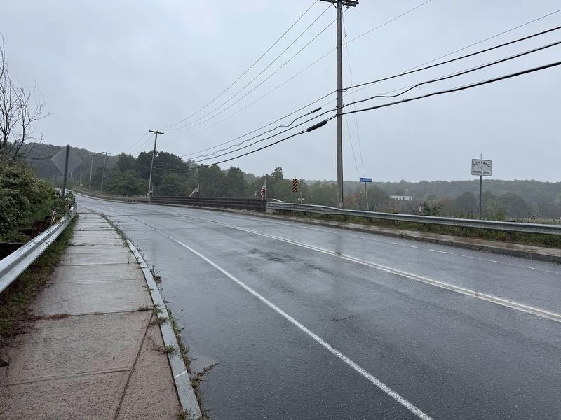
Photographed by G.W.Bartlett, September 20, 2026
5. Quaboag River Crossing

Regionally, this marker is in the Quiet Corner and in Greater Worcester. It is also in the American Northeast and in New England. Globally, it is in North America, the Western Hemisphere, the Western World, and the Anglosphere. Historically, it finds itself in what was once one of the original Thirteen Colonies.
Other nearby markers. At least 8 other markers are within walking distance of this marker: Banister Memorial Hall (approx. 0.4 miles away); Merrick Public Library (approx. 0.4 miles away); Brookfield Spanish-American War Memorial (approx. half a mile away); Brookfield World War I Memorial (approx. half a mile away); Brookfield Civil War Memorial (approx. half a mile away); Brookfield Veterans Memorial (approx. half a mile away); Gen. Henry Knox Trail (approx. 0.6 miles away); Civil War Memorial (approx. 0.8 miles away). Touch for a list and map of all markers in Brookfield.
Also see . . . MassWildlife's Natural Heritage & Endangered Species Program (NHESP).
The Natural Heritage & Endangered Species Program is responsible for the conservation and protection of hundreds of species that are not hunted, fished, trapped, or commercially harvested in the state, as well as the protection of the natural communities that make up their habitats.(Submitted on September 21, 2026, by G.W.Bartlett of Hingham, Massachusetts.)
Credits. This page was last revised on September 25, 2026. It was originally submitted on September 20, 2026, by G.W.Bartlett of Hingham, Massachusetts. This page has been viewed 9 times since then. Photos: 1, 2, 3, 4, 5. submitted on September 20, 2026, by G.W.Bartlett of Hingham, Massachusetts. • Michael Herrick was the editor who published this page.
