Parkchester in the Bronx in Bronx County, New York — The American Northeast (Mid-Atlantic)
Noble Playground
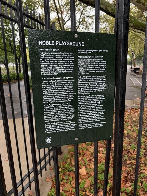
What was here before?
This site was once part of the Mapes farm. The Mapes family were prominent Bronx landowners and businesspeople who were among the earliest colonial settlers of this area. They operated three stores in the West Farms area, as well as a Bronx River dock at 173rd Street. They continued to be family-owned and operated into the early 20th century. The Mapes family sold their estate and farm, located in present-day Parkchester, in 1887.
How did this site become a playground?
Opened on Dec. 4, 1939, Noble Playground was part of the Bronx River Parkway's extension from Bronxville to Soundview. The Westchester portion of the highway, completed in 1925, was one of the first major thoroughfares to include parkland and landscaping in its design, which was replicated in the Bronx extension. It was one of hundreds of playgrounds constructed under Parks Commissioner Robert Moses (1888-1981) with federal aid through the Works Progress Administration (WPA).
Noble Playground was temporarily closed in 1951 during the construction of the Cross Bronx Expressway. It was reconstructed and reopened in 1954 with
this page online
In 1995, the Department of General Services transferred an additional .17 acre to NYC Parks to increase the size of the field. The restrooms were reconstructed in 1998 and 2022. The play area was renovated in 2023 to include new play and adult fitness equipment, painted games, a spray shower, and a seating area.
Who is this playground named for?
This playground shares its name with adjoining Noble Avenue, which is possibly named for Robert Noble, who owned land in this area in the early 1700s. Noble's land was sold to Nathaniel Underhill in 1724, who later sold it to the Hunt and Pugsley families in 1777 before it became part of the Mapes farm.
It is also thought that the Noble name refers to prominent civil engineer Alfred Noble (1844-1914), as neighboring streets Croes and Fteley Avenues are also named for civil engineers. Born on Aug. 7, 1844, and raised on a farm in Livonia,
His earlier work focused on bridges and canals in the Midwest and Great Lakes region. In the 1880s, he was the resident engineer for the Washington Bridge connecting Manhattan and the Bronx. He served as chief engineer for the Pennsylvania Railroad's East River Division from 1902-1909, where he oversaw the construction of the train tunnels between Manhattan and Queens that are still used by Amtrak, the Long Island Railroad, and New Jersey Transit. He was also appointed by several presidents as a consultant engineer on high-level projects, including the Panama Canal and the Galveston Seawall.
Noble served as president of the American Society of Engineers in 1903, which established a prize in his name in 1929.
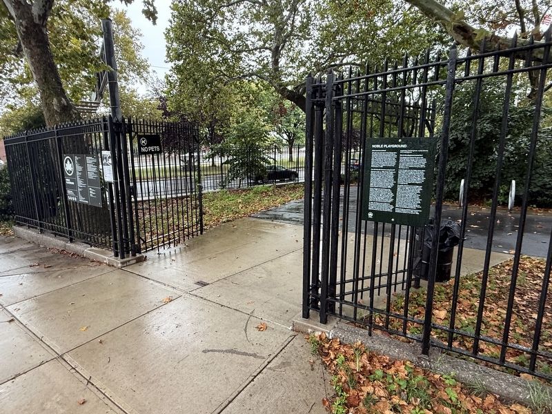
Erected by NYC Parks. (Marker Number 301.)
Topics and series. This historical marker is listed in these topic lists: Agriculture • Industry & Commerce • Parks & Recreational Areas • Settlements & Settlers. In addition, it is included in the NYC Parks series list. A significant historical date for this entry is August 7, 1844.
Location. 40° 50.207′ N, 73° 52.289′ W. Marker is in Bronx, New York, in Bronx County. It is in Parkchester. It is at the intersection of Cross Bronx Expressway and Cross Bronx Expressway, on the right when traveling south on Cross Bronx Expressway. Touch for map. Marker is at or near this postal address: 1709 Cross Bronx Expy, Bronx NY 10472, United States of America. Touch for directions.

Regionally, this marker is in New York City. It is also in the American Northeast, in the Mid-Atlantic, and on the Eastern Seaboard. Globally, it is in the North Atlantic Region, North America, the Western Hemisphere, the Western World, and the Anglosphere. Historically, it finds itself in what was once New Netherland and also one of the original Thirteen Colonies.
Other nearby markers. At least 8 other markers are within walking distance of this marker: Captain William Harry Thompson Park (approx. 0.4 miles away); Bronx River: Then and Now (approx. 0.6 miles away); Hugh J. Grant Circle (approx. 0.6 miles away); Parkchester War Memorial (approx. 0.6 miles away); Nyala: An African Antelope (approx. ¾ mile away); Look for the Skeleton (approx. 0.8 miles away); Tommies: Tiny but Tough (approx. 0.8 miles away); Railroads Over the Bronx River (approx. 0.8 miles away). Touch for a list and map of all markers in Bronx.
Credits. This page was last revised on September 22, 2026. It was originally submitted on September 22, 2026, by Devry Becker Jones of Washington, District of Columbia. This page has been viewed 6 times since then. Photos: 1, 2. submitted on September 22, 2026, by Devry Becker Jones of Washington, District of Columbia.
