Highbridge in the Bronx in Bronx County, New York — The American Northeast (Mid-Atlantic)
Bridge Park
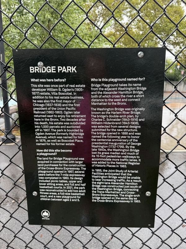
What was here before?
This site was once part of real estate developer William B. Ogden's (1805–1877) estate, Villa Boscobel. In addition to his real estate business, he was also the first mayor of Chicago (1837–1838) and the first president of the Union Pacific Railroad (1862–1863). Ogden later returned east to enjoy his retirement here in the Bronx. Two decades after his death, his estate was subdivided into 1,500 parcels and auctioned off in 1907. The park is bounded by Ogden Avenue (formerly Highbridge Avenue), which was named for him in 1876, as well as Boscobel Place, named for his former estate.
How did this site become a playground?
The land for Bridge Playground was acquired in connection with larger land purchases for the construction of the Cross-Bronx Expressway. The playground opened in 1957, several years before the 7-mile expressway was completed in 1963. Its design included picnic tables, upper and lower sitting areas, and full and half basketball courts. In 2021, the park was reconstructed to add two adult fitness areas, a full-size basketball court, and a new playground for children between ages
this page online
Who is this playground named for?
Bridge Playground takes its name from the adjacent Washington Bridge and the Alexander Hamilton Bridge, both of which cross the river a short distance to the west and connect Manhattan to the Bronx.
The Washington Bridge was originally known as the Harlem River Bridge. The bridge's double-arch plan, by Charles C. Schneider (1843-1916) and Wilhelm Hildenbrand (1843-1908), was selected from several designs submitted for the new structure. The bridge opened in 1888 and was named the following year to honor the centennial anniversary of the presidential inauguration of George Washington (1732-1799). By the late 1940s, the Washington Bridge lost its grass median and much of its 15-foot pedestrian walkways to accommodate more traffic lanes. It was added to the National Register of Historic Places in 1983.
In 1955, the Joint Study of Arterial Facilities anticipated that the Washington Bridge would be unable to bear increasing traffic. As a result, the eight-lane Alexander Hamilton Bridge was constructed just south of the Washington Bridge, connecting the Trans-Manhattan and Cross-Bronx Expressways.
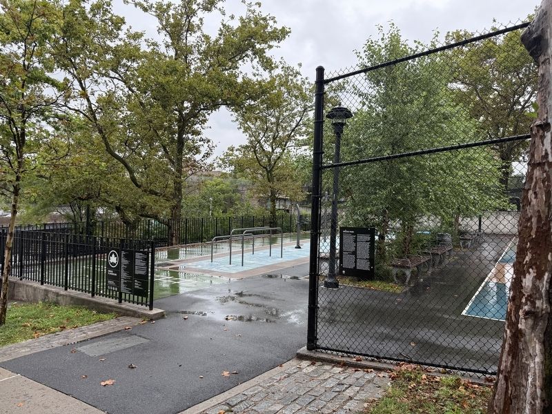
Erected by NYC Parks. (Marker Number 301.)
Topics and series. This historical marker is listed in these topic lists: Bridges & Viaducts • Parks & Recreational Areas • Roads & Vehicles • Settlements & Settlers. In addition, it is included in the NYC Parks series list. A significant historical year for this entry is 1907.
Location. 40° 50.648′ N, 73° 55.459′ W. Marker is in Bronx, New York, in Bronx County. It is in Highbridge. It is on Boscobel Place east of University Avenue, on the left when traveling east. Touch for map. Marker is at or near this postal address: 1457 Boscobel Pl, Bronx NY 10452, United States of America. Touch for directions.

Regionally, this marker is in New York City. It is also in the American Northeast, in the Mid-Atlantic, and on the Eastern Seaboard. Globally, it is in the North Atlantic Region, North America, the Western Hemisphere, the Western World, and the Anglosphere. Historically, it finds itself in what was once New Netherland and also one of the original Thirteen Colonies.
Other nearby markers. At
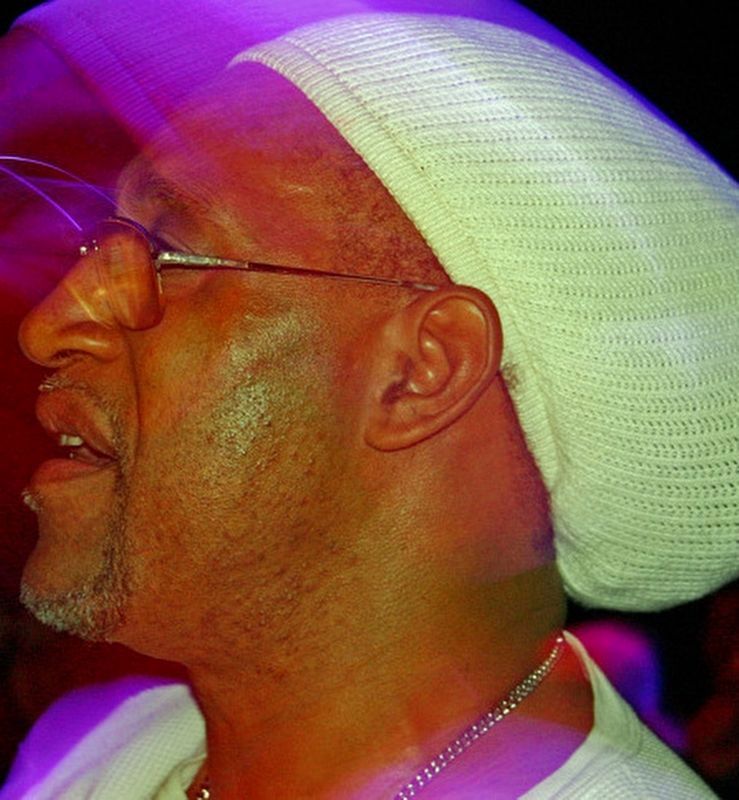
Richard Alexander Caraballo (CC BY 3.0) (courtesy Wikimedia Commons), June 7, 2006
3. DJ Kool Herc in New York, 2006
Kool DJ Herc at Hot 97's VIP Lounge featuring Busta Rhymes in New York City on June 7th, 2006.
Credits. This page was last revised on September 22, 2026. It was originally submitted on September 22, 2026, by Devry Becker Jones of Washington, District of Columbia. This page has been viewed 4 times since then. Photos: 1, 2. submitted on September 22, 2026, by Devry Becker Jones of Washington, District of Columbia. 3. submitted on September 22, 2026.
