West Ashley in Charleston in Charleston County, South Carolina — The American South (South Atlantic)
U.S. Vegetable Laboratory
Photographed by Jimmy Emerson, September 18, 2026
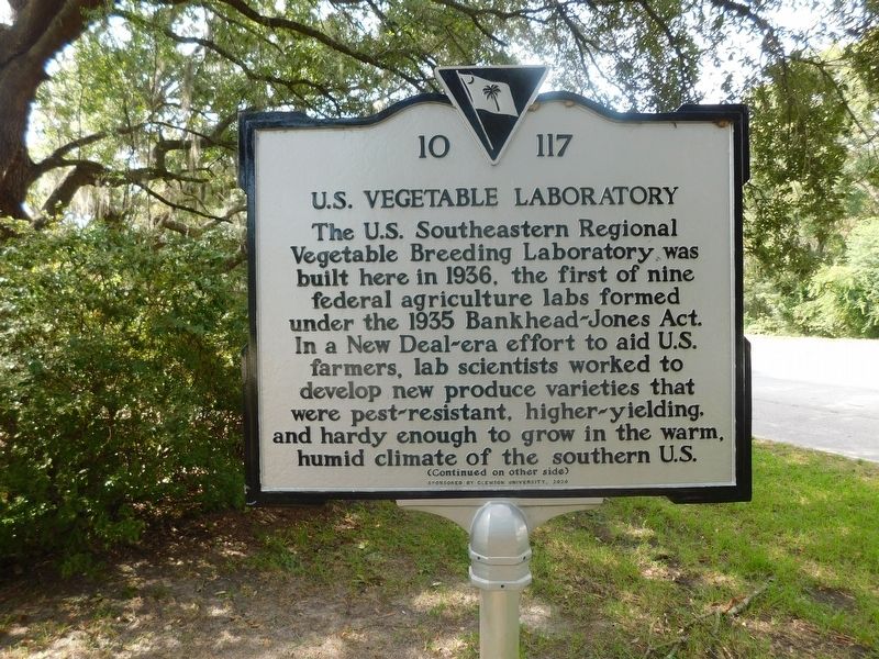
1. U.S. Vegetable Laboratory Marker
The U.S. Southeastern Regional Vegetable Breeding Laboratory was built here in 1936, the first of nine federal agriculture labs formed under the 1935 Bankhead-Jones Act. In a New Deal-era effort to aid U.S. farmers, lab scientists worked to develop new produce varieties that were pest-resistant, higher-yielding. and hardy enough to grow in the warm, humid climate of the southern U.S.
Erected 2020 by Clemson University. (Marker Number 10-117.)
Topics. This historical marker is listed in these topic lists: Agriculture • Education • Science & Medicine. A significant historical year for this entry is 1936.
Location. 32° 47.707′ N, 80° 4.132′ W. Marker is in
this page online

Regionally, this marker is in the Lowcountry. It is also in the American South, specifically in the Deep South, and on the Eastern Seaboard. Globally, it is in the North Atlantic Region, North America, the Western Hemisphere, the Western World, and the Anglosphere. Historically, it finds itself in what was once the territory of the Mississippian Culture, one of the original Thirteen Colonies, one of the Confederate States of America, and the Antebellum South.
Other nearby markers. At least 8 other markers are within 4 miles of this marker, measured as the crow flies: South Carolina Canal & Rail Road Company (approx. 2.1 miles away); St. Mark’s Union Methodist Episcopal Church (approx. 2.6 miles away); New Bethel African Methodist Episcopal Church (approx. 3 miles away); a different marker also named St. Andrew’s Parish Church
Photographed by Jimmy Emerson, September 18, 2026
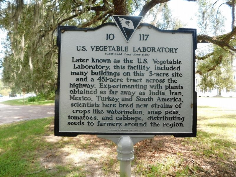
2. U.S. Vegetable Laboratory Marker
Another marker is no longer nearby. St. Andrew’s Parish Church (was approx. 3.2 miles away but has been replaced with another marker now near it).
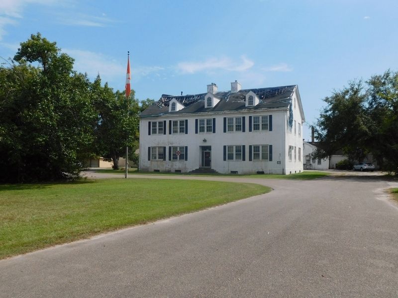
Regarding U.S. Vegetable Laboratory. The historic structures will be demolished sometime in 2026.
Also see . . .
1. Charleston clears the way to demolish historic West Ashley vegetable lab. ABC News (2/25/2026) (Submitted on September 22, 2026, by Jimmy Emerson of Dalton, Georgia.)
2. History: USDA Vegetable Lab “The First of Its Kind in the World”. Clemson University (Submitted on October 19, 2026.)
Photographed by Jimmy Emerson, September 18, 2026
3. U.S. Vegetable Laboratory Building
Photographed by Jimmy Emerson, September 18, 2026
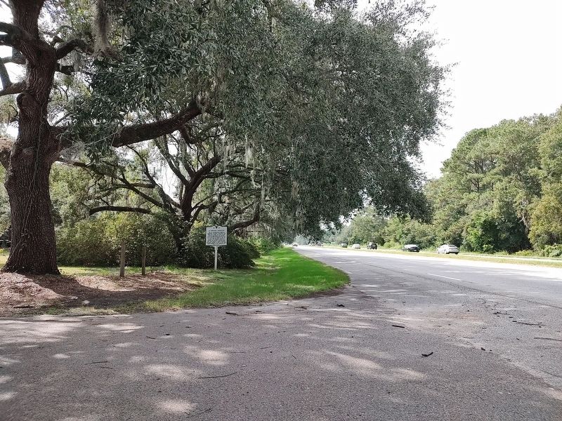
4. U.S. Vegetable Laboratory Marker
Credits. This page was last revised on October 19, 2026. It was originally submitted on September 22, 2026, by Jimmy Emerson of Dalton, Georgia. This page has been viewed 13 times since then. Photos: 1, 2, 3, 4. submitted on September 22, 2026, by Jimmy Emerson of Dalton, Georgia. • Bernard Fisher was the editor who published this page.
