North Stonington in Southeastern Region, Connecticut — The American Northeast (New England)
The Connecticut African American Freedom Trail
Photographed by Devry Becker Jones (CC0), September 20, 2026
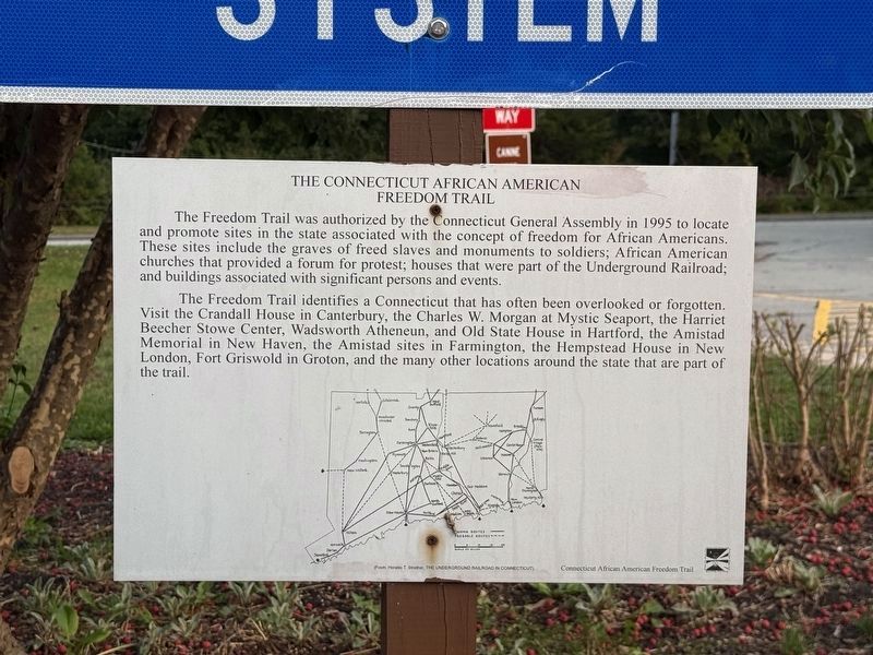
1. The Connecticut African American Freedom Trail Marker
The Freedom Trail was authorized by the Connecticut General Assembly in 1995 to locate and promote sites in the state associated with the concept of freedom for African Americans. These sites include the graves of freed slaves and monuments to soldiers; African American churches that provided a forum for protest; houses that were part of the Underground Railroad; and buildings associated with significant persons and events.
The Freedom Trail identifies a Connecticut that has often been overlooked or forgotten. Visit the Crandall House in Canterbury, the Charles W. Morgan at Mystic Seaport, the Harriet Beecher Stowe Center, Wadsworth Atheneun, and Old State House in Hartford, the Amistad Memorial in New Haven, the Amistad sites in Farmington, the Hempstead House in New London, Fort Griswold in Groton, and the many other locations around the state that are part of the trail.
Erected by Connecticut African American Freedom Trail.
Topics. This historical marker is listed in these topic lists: Abolition & Underground RR • African Americans • Civil Rights • Notable Places. A significant historical year for this entry is 1995.
Location. 41° 25′ N,
this page online

Regionally, this marker is on the Connecticut Shoreline, in Greater New London, in Mystic and the Eastern Shore, and in the Thames River Valley. It is also in the American Northeast, in New England, and on the Eastern Seaboard. Globally, it is in the North Atlantic Region, North America, the Western Hemisphere, the Western World, and the Anglosphere. Historically, it finds itself in what was once New London County and also one of the original Thirteen Colonies.
Other nearby markers. At least 8 other markers are within 3 miles of this marker, measured as the crow flies: Samson Occom (here, next to this marker); North Stonington (approx. 2.2 miles away); Connecticut Charter Oak Descendent (approx. 2.3 miles away); North Stonington First Settled
Photographed by Devry Becker Jones (CC0), September 20, 2026
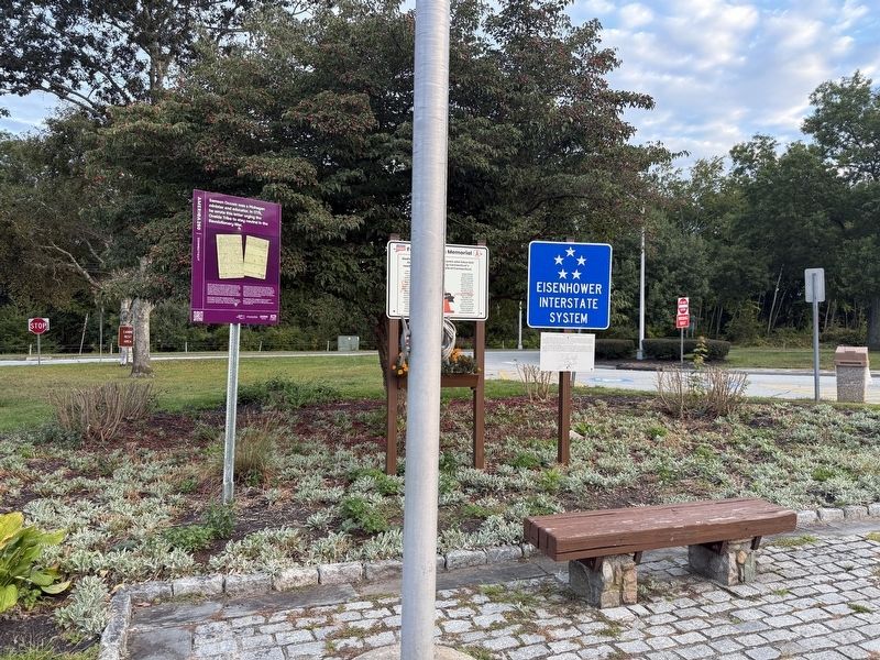
2. Signs on display at the Southbound Rest Area
Credits. This page was last revised on September 23, 2026. It was originally submitted on September 23, 2026, by Devry Becker Jones of Washington, District of Columbia. This page has been viewed 7 times since then. Photos: 1, 2. submitted on September 23, 2026, by Devry Becker Jones of Washington, District of Columbia.
