Perry, Washington — The American West (Northwest)
Cataclysmic Floods
Photographed by Barry Swackhamer, June 14, 2026
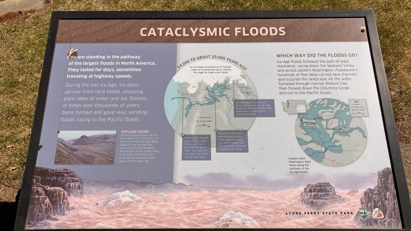
1. Cataclysmic Floods Marker
During the last ICE AGE, ice dams upriver from here failed, releasing giant lakes of water and ice. Dozens of times over thousands of years, dams formed and gave way, sending floods racing to the Pacific Ocean
An ice sheet covers most of Canada. Lobes of ice extended south setting the stage for large scale floods.
1. Ice dammed the Clark Fork River and formed Glacial Lake Missoula,, over 2,000 feet deep. When each ice dam burst, water rushed out.
2. Floods spread across eastern Washington. They stripped away soil, cut through rock, and left giant deposits of gravel and sand.
3. Floodwaters flowed hundreds of miles to the coast and out onto the ocean. The coastline was about 20 miles farther west then.
Which way did the floods go?
Ice Age floods followed the path of least resistance, racing down the Spokane Valley and across eastern Washington. Floodwaters hundreds of feet deep carved new channels and scoured the landscape All the
this page online
Explore more! Devils Canyon Coulee, half an hour downriver from here, is a five mile long, 600 foot-deep flood carved channel that runs straight from Kanlotus, Washington, to the Snake River. It has been completely dry since the last Missoula flood about 15,000 years ago.
Erected by Washington State Parks, Ice Age Floods ?.
Topics. This historical marker is listed in these topic lists: Natural Features • Notable Events.
Location. 46° 35.746′ N, 118° 13.157′ W. Marker is in Perry in , Washington. It can be reached from Washington Route 261 near Lyons Ferry Road, on the right when traveling north. This marker is in Lyons Ferry State Park. Touch for map. Touch for directions.

Regionally, this marker is in the American Lewis & Clark Corridor. Globally, it is in North America, on the Pacific Rim, in the Western Hemisphere, in the Western World, and in the Anglosphere.
Other nearby markers. At least 8 other markers are within 5 miles of this marker, measured as
Photographed by Barry Swackhamer, June 14, 2026
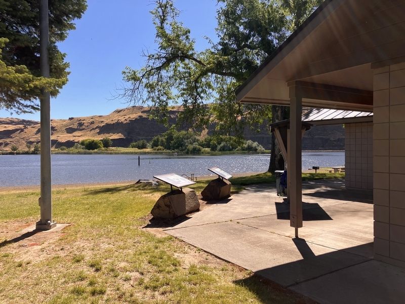
2. Cataclysmic Floods Marker
Photographed by Barry Swackhamer, June 14, 2026
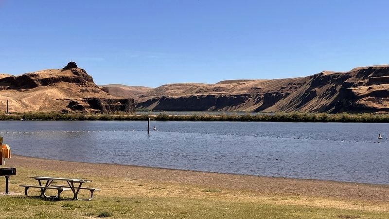
3. The Snake River
On the left, at the base of the cliff, a "17-million-year-onld basalt layer." On the right, at the base of the cliff, a "15-million-year-old basalt layer."
Credits. This page was last revised on September 24, 2026. It was originally submitted on September 24, 2026, by Barry Swackhamer of Brentwood, California. This page has been viewed 4 times since then. Photos: 1, 2, 3. submitted on September 24, 2026, by Barry Swackhamer of Brentwood, California.
