Near Niobrara in Knox County, Nebraska — The American Midwest (Upper Plains)
Managing For Biodiversity
Photographed by William Fischer, Jr., September 17, 2026
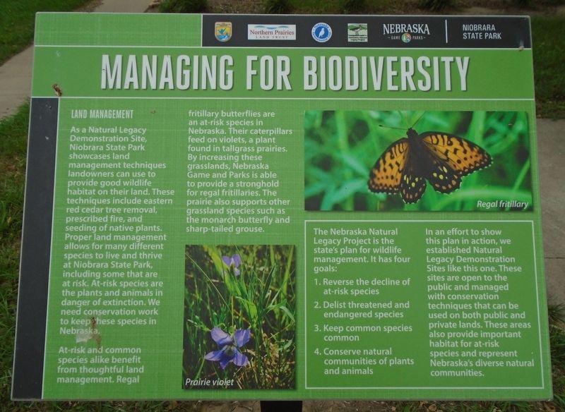
1. Managing For Biodiversity Marker
LAND MANAGEMENT
As a Natural Legacy Demonstration Site, Niobrara State Park showcases land management techniques landowners can use to provide good wildlife habitat on their land. These techniques include eastern red cedar tree removal, prescribed fire, and seeding of native plants. Proper land management allows for many different species to live and thrive at Niobrara State Park, including some that are at risk. At-risk species are the plants and animals in danger of extinction. We need conservation work to keep these species in Nebraska.
At-risk and common species alike benefit from thoughtful land management. Regal fritillary butterflies are an at-risk species in Nebraska. Their caterpillars feed on violets, a plant found in tallgrass prairies. By increasing these grasslands, Nebraska Game and Parks is able to provide a stronghold for regal fritillaries. The prairie also supports other grassland species such as the monarch butterfly and sharp-tailed grouse.
[Photo caption] Prairie violet
The Nebraska Natural Legacy Project is the state's plan for wildlife management. It
this page online
1. Reverse the decline of at-risk species
2. Delist threatened and endangered species
3. Keep common species common
4. Conserve natural communities of plants and animals
[Photo caption] Regal fritillary
In an effort to show this plan in action, we established Natural Legacy Demonstration Sites like this one. These sites are open to the public and managed with conservation techniques that can be used on both public and private lands. These areas also provide important habitat for at-risk species and represent Nebraska's diverse natural communities.
Erected by Nebraska State Parks, US Fish & Wildlife Service, Northern Prairie Land Trust, NE Environmental Trust, and NE's Natural Legacy Project.
Topics. This historical marker is listed in these topic lists: Environment • Parks & Recreational Areas.
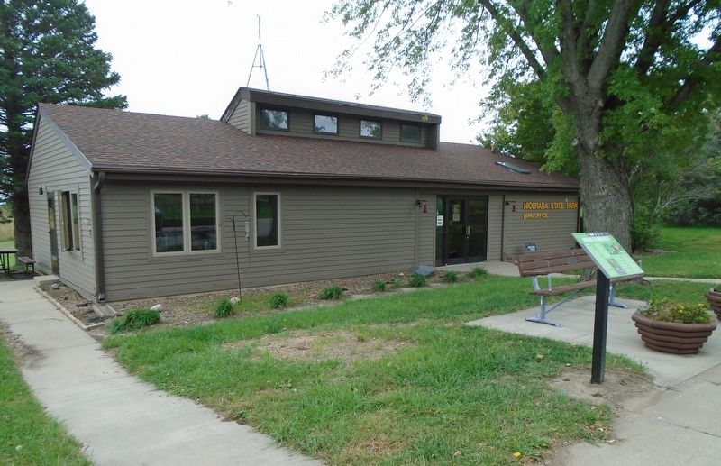
Location. 42° 45.934′ N, 98° 4.652′ W. Marker is near Niobrara, Nebraska, in Knox County. Marker is adjacent to the Niobrara State Park Visitor Center. Touch for map. Marker is at or near this postal address: 89261 522 Avenue, Niobrara NE
Photographed by William Fischer, Jr., September 17, 2026
2. Managing For Biodiversity Marker

Regionally, this marker is in Eastern Nebraska. It is also in the American Midwest, in the Corn Belt, and on the prairies. Globally, it is in North America, the Western Hemisphere, the Western World, and the Anglosphere. Historically, it finds itself in what was once the Louisiana Purchase.
Other nearby markers. At least 8 other markers are within 2 miles of this marker, measured as the crow flies: The Ponca Tribe (approx. 1.2 miles away); "mouth of the Qui Courre (rapid)" (approx. 1.3 miles away); J. Alan Cramer Interpretive Shelter (approx. 1.3 miles away); Lewis and Clark Expedition (approx. 1.3 miles away); They Opened The West (approx. 1.3 miles away); 1846-47 Mormon Winter Camp (approx. 1.3 miles away); The Peaceful Ponca (approx. 1.3 miles away); The Forced Removal (approx. 1.3 miles away). Touch for a list and map of all markers in Niobrara.
More about this marker. Nebraska State Parks entrance fee required.
Regarding Managing For Biodiversity. Although not specifically historical in nature, the marker highlights efforts needed to correct past human land use practices that negatively affected plant and animal species across Nebraska.
Credits. This page was last revised on September 27, 2026. It was originally submitted on September 25, 2026, by William Fischer, Jr. of Reynoldsburg, Ohio. This page has been viewed 7 times since then. Photos: 1, 2. submitted on September 25, 2026, by William Fischer, Jr. of Reynoldsburg, Ohio.
