Charles City in Charles City County, Virginia — The American South (Mid-Atlantic)
Drive Leisurely
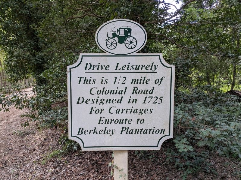
Photographed by Evan Dwyer, September 26, 2026
1. Drive Leisurely Marker
Erected by Berkeley Plantation.
Topics. This historical marker is listed in these topic lists: Colonial Era • Roads & Vehicles. A significant historical year for this entry is 1725.
Location. 37° 19.659′ N, 77° 10.75′ W. Marker is in Charles City, Virginia, in Charles City County. It is at the intersection of Harrison Landing Road and Herring Creek Road, on the right when traveling south on Harrison Landing Road. Marker is just inside the gate to Berkeley Plantation. Touch for map. Marker is in this post office area: Charles City VA 23030, United States of America. Touch for directions.

Regionally, this marker is in Coastal Virginia. It is also in the American South, specifically in the Upper South, in the Tidewater, and on the Eastern Seaboard. Globally, it is in the North Atlantic Region, North America, the Western Hemisphere, the Western World, and the Anglosphere. Historically, it finds itself in what was once the territory of the Mississippian Culture, one of the original Thirteen Colonies, one of the
this page online
Other nearby markers. At least 8 other markers are within walking distance of this marker: Herring Creek (approx. ¼ mile away); Stuart's Ride (approx. half a mile away); Berkeley and Harrison's Landing (approx. 0.6 miles away); Emanuel Quivers (approx. 0.7 miles away); First English Thanksgiving in Virginia (approx. 0.7 miles away); a different marker also named Berkeley Plantation or Harrison's Landing (approx. 0.7 miles away); Westover (approx. 0.7 miles away); Herring Creek & Kimages (approx. 0.7 miles away). Touch for a list and map of all markers in Charles City.
Another marker is no longer nearby. Berkeley Plantation or Harrison's Landing (was approx. 0.7 miles away but has been replaced with another marker now near it).
More about this marker. The marker also (perhaps primarily) serves to remind visitors driving to Berkeley Plantation to drive slowly. The road it describes is directly adjacent to the marker and remains unpaved.
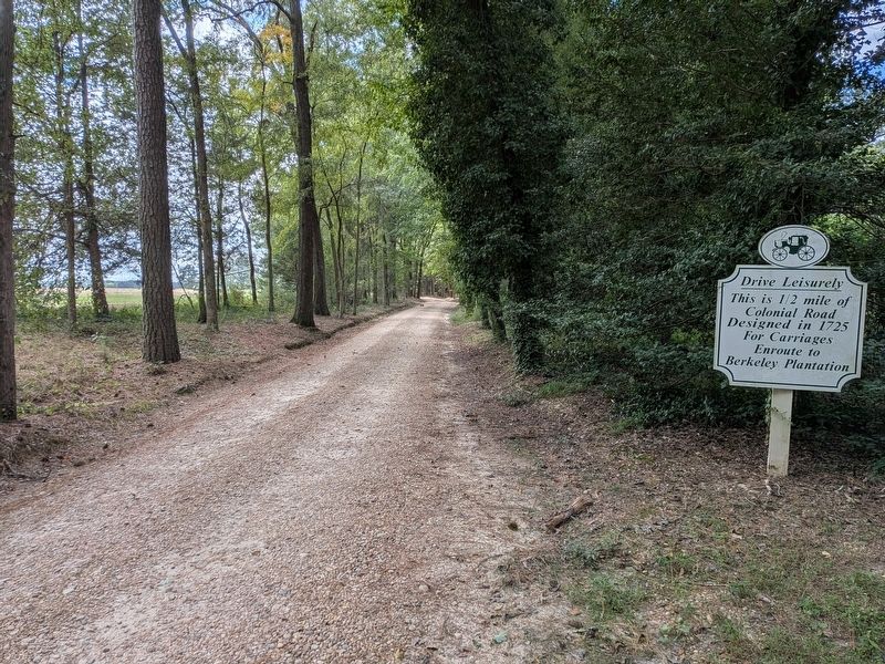
Photographed by Evan Dwyer, September 26, 2026
2. Drive Leisurely Marker
And road to Berkeley
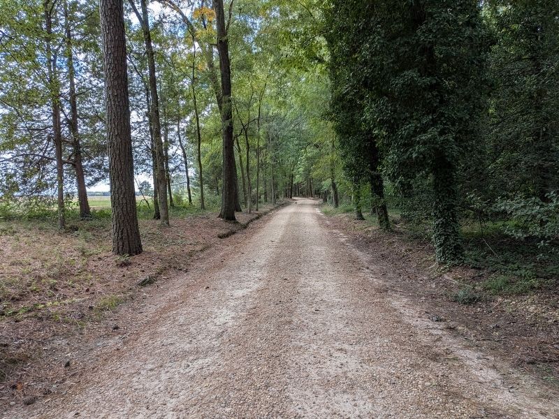
Photographed by Evan Dwyer, September 26, 2026
3. 18th Century Roadbed
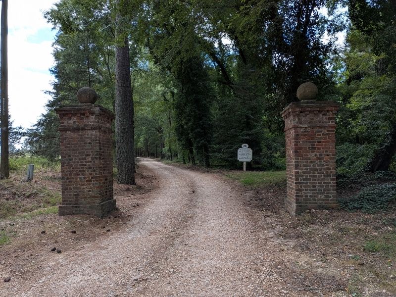
Photographed by Evan Dwyer, September 26, 2026
4. Berkeley Plantation Gateposts & Roadway
The marker is just within the gate posts at the beginning of the road. View from Herring Creek Road.
Credits. This page was last revised on September 26, 2026. It was originally submitted on September 26, 2026, by Evan Dwyer of Richmond, Virginia. This page has been viewed 8 times since then. Photos: 1, 2, 3, 4. submitted on September 26, 2026, by Evan Dwyer of Richmond, Virginia.
