Keilor East in Brimbank, Victoria, Australia — Oceania
Keilor Cemetery
| — | Keilor Heritage Walk | — |
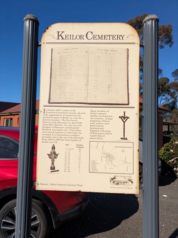
Photographed by Dean Barton-Ancliffe, August 27, 2026
1. Keilor Cemetery Marker
Many members of Keilor's pioneer families are buried in the cemetery. A large proportion of these early settlers were from Ireland, Scotland and England, with many of their graves still in a good state of preservation.
Erected 1991 by Keilor Historical Society. (Marker Number 2.)
Topics. This historical marker is listed in these topic lists: Cemeteries & Burial Sites • Colonial Era. A significant historical year for this entry is 1857.
Location. 37° 43.683′ S, 144° 51.095′ E. Marker is in Keilor East, Victoria, in Brimbank. It is on Cemetery Road 0.1 kilometers south of Ely Court, on the left when traveling
this page online

Regionally, it is in Oceania, in Australasia, in the Pacific Ocean, in South Pacific, on the Pacific Rim, in the Western World, and in the Anglosphere. Historically, it finds itself in what was once a British colony.
Other nearby markers. At least 8 other markers are within 11 kilometers of this marker, measured as the crow flies: St Augustine’s (approx. 0.6 kilometers away); Old Iron Bridge (approx. 1.3 kilometers away); Keilor Hotel (approx. 1.6 kilometers away); Overnewton (approx. 3.7 kilometers away); Anders Mauritz Hansen (approx. 8.8 kilometers away); Woodlands Historic Park (approx. 10.1 kilometers away); Sydney Road (approx. 10.2 kilometers away); Hume and Hovell - 100 Year Memorial Marker (approx. 10.3 kilometers away).
Also see . . . Keilor Cemetery. The Greater Metropolitan Cemeteries Trust
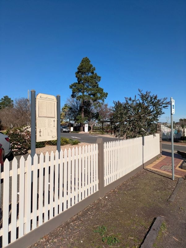
Keilor Cemetery has been serving its diverse, multicultural community’s evolving needs for more than 150 years. Its pioneer graves reflecting the history of its location on the(Submitted on September 27, 2026, by Dean Barton-Ancliffe of Rowville, Victoria.)road to the goldfields.Photographed by Dean Barton-Ancliffe, August 27, 20262. Keilor Cemetery Marker at the main gate
Keilor Cemetery is also home to a Gallipoli Oak tree grown from acorns brought back from the battlefields of World War 1. It is an important community monument to those who lost their lives in that conflict.
Credits. This page was last revised on September 27, 2026. It was originally submitted on September 27, 2026, by Dean Barton-Ancliffe of Rowville, Victoria. This page has been viewed 8 times since then. Photos: 1, 2. submitted on September 27, 2026, by Dean Barton-Ancliffe of Rowville, Victoria. • Andrew Ruppenstein was the editor who published this page.
