Beaumaris in Bayside, Victoria, Australia — Oceania
Ricketts Point
Beaumaris
| — | Bayside History Trail | — |
Photographed by Dean Barton-Ancliffe, August 29, 2026
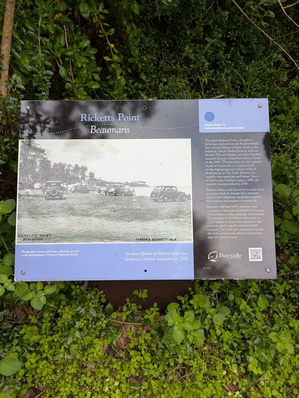
1. Ricketts Point Marker
Ricketts Point is well known for its rocky shore and reefs which for decades have attracted beach lovers, fisherman, snorkellers, painters, bird watchers and students of marine life.
Between 1960 and 1985, observers were concerned to see signs of depletion of marine life and hence, a long campaign was initiated. The declaration of a Marine Sanctuary in 2002 marked the start of an increase in the creatures inhabiting the reefs and of fish numbers. The Teahouse, constructed on the site of an earlier kiosk, attracts visitors from near and distant places.
Erected by Bayside City Council.
this page online
Topics. This historical marker is listed in these topic lists: Colonial Era • Parks & Recreational Areas. A significant historical year for this entry is 1840.
Location. 37° 59.461′ S, 145° 1.732′ E. Marker is in Beaumaris, Victoria, in Bayside. It can be reached from the intersection of Beach Road (Victoria Route 33) and Reserve Road. Touch for map. Marker is at or near this postal address: 390 Beach Road, Beaumaris VIC 3193, Australia. Touch for directions.

Regionally, it is in Oceania, in Australasia, in the Pacific Ocean, in South Pacific, on the Pacific Rim, in the Western World, and in the Anglosphere. Historically, it finds itself in what was once a British colony.
Other nearby markers. At least 8 other markers are within 18 kilometers of this marker, measured as the crow flies: Tom Roberts (here, next to this marker); Boon Wurrung Blossom (here, next to this marker); The Grange (approx. 10.3 kilometers away); Flying Saucer Sighting (approx. 10.4 kilometers away); Caulfield Commons (approx. 12.3 kilometers away); Indigenous History and Mapping the Past (approx. 15.5 kilometers away); Blackie-Ironmonger Stand
Photographed by Dean Barton-Ancliffe, August 29, 2026
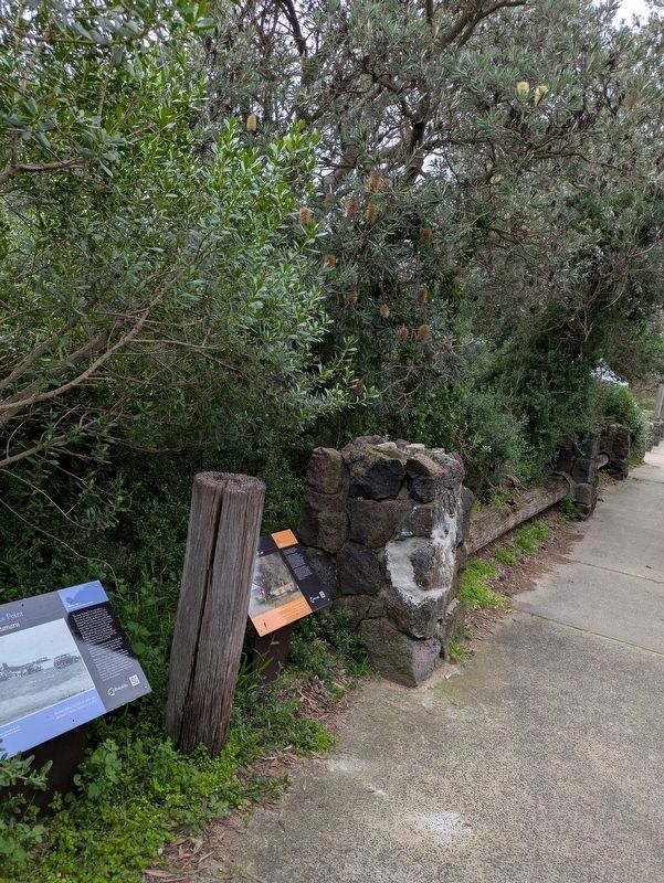
2. Ricketts Point Marker along the trail
Also see . . . Ricketts Point Marine Sanctuary. Parks Victoria <blockquote>Ricketts Point Marine Sanctuary sits within an Aboriginal cultural landscape in the traditional Sea Country of the Bunurong People. Parks Victoria respects the deep and continuing connection that Bunurong Traditional Owners have to these lands and waters, and we recognise their ongoing role in caring for Country.
Crystal clear shallow waters, sandstone reefs, sea caves, and rockpools make Ricketts Point the perfect place to discover the wonderful sea creatures of Port Phillip Bay. The beach, when patrolled, is a safe place for kids to swim. Grab your snorkel to meet zebrafish or even a Port Jackson Shark.
Ricketts Point is home to unique animals and plants that call the intertidal rock platforms home. Join a Junior Ranger program to get the most out of rockpooling and learn about Victoria’s rich underwater marine life. If you don’t drive, no need to worry. Ricketts Point is accessible by public transport.
The beach, with crystal clear shallow waters of less than 5 metres depth in most areas, is patrolled by Beaumaris Life Saving Club, making it a safe place to swim in summer.
Experienced divers and snorkelers can explore the offshore sandstone reefs and sea caves that are unique to this area. (Submitted on September 27, 2026, by Dean Barton-Ancliffe of Rowville, Victoria.)
Credits. This page was last revised on September 28, 2026. It was originally submitted on September 27, 2026, by Dean Barton-Ancliffe of Rowville, Victoria. This page has been viewed 4 times since then. Photos: 1, 2. submitted on September 27, 2026, by Dean Barton-Ancliffe of Rowville, Victoria. • Andrew Ruppenstein was the editor who published this page.
