Near Niobrara in Knox County, Nebraska — The American Midwest (Upper Plains)
Lewis and Clark Expedition
Photographed by William Fischer, Jr., September 17, 2026
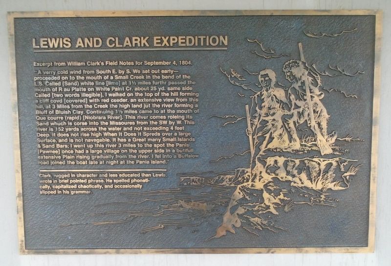
1. Lewis and Clark Expedition Marker
Excerpt from William Clark's Field Notes for September 4, 1804.
"A verry cold wind from South E. by S. We set out early-proceeded on to the mouth of a Small Creek in the bend of the L.S. Called (Sand) white line [lime] at 1½ miles furthr passed the mouth of R au Platte on White Paint Cr. about 25 yd. same side Called [two words illegible], I walked on the top of the hill forming a cliff covd [covered] with red ceeder. an extensive view from this hill, at 3 Miles from the Creek the high land jut the river forming a Bluff of Bluish Clay. Continuing 1½ miles came to at the mouth of Que courre (rapid) [Niobrara River]. This river comes roleing its Sand whuch is corse into the Missoures from the SW by W. This river is 152 yards across the water and not exceeding 4 feet Deep. it does not rise high When It Does it Spreds over a large Surface, and is not navagable. It has a Great many Small Islands & Sand Bars; I went up this river 3 miles to the spot the Panis [Pawnee] once had a large village on the upper side in a butifull extensive Plain rising gradually from the river. I fel Into a Buffalow road joined the
this page online
——————————————————————————
Clark, rugged in character and less educated than Lewis, wrote in brief pointed phrase. He spelled phonetically, capitalized chaotically, and occasionally slipped in his grammar.
Erected by Nebraska State Parks.
Topics and series. This historical marker is listed in these topic lists: Environment • Exploration • Waterways & Vessels. In addition, it is included in the Lewis & Clark Expedition series list. A significant historical date for this entry is September 4, 1804.
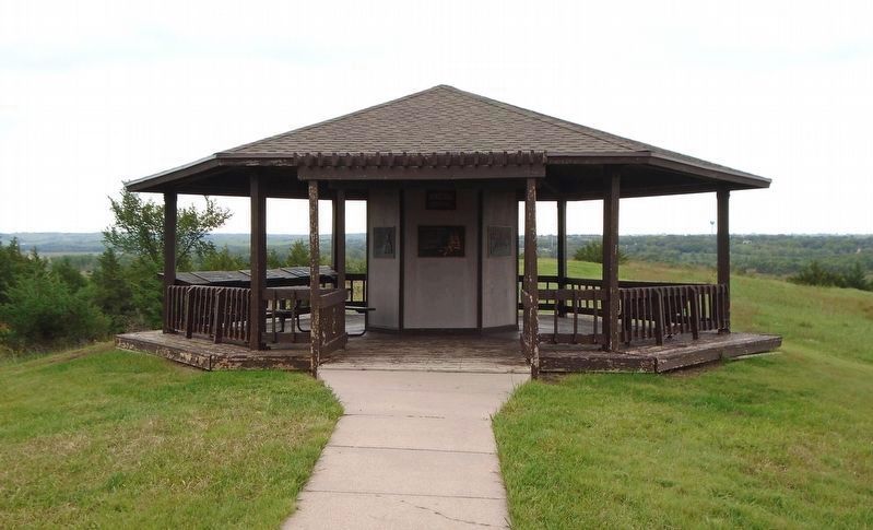
Location. 42° 45.953′ N, 98° 3.082′ W. Marker is near Niobrara, Nebraska, in Knox County. Marker is under the J. Alan Cramer Interpretive Shelter in Niobrara State Park. Touch for map. Marker is at or near this postal address: 89261 522 Avenue, Niobrara NE 68760, United States of America. Touch for directions.

Regionally, this marker is in Eastern Nebraska. It is also in the American Midwest, in the Corn Belt, and on the prairies. Globally, it is in North America, the Western Hemisphere, the Western World, and the Anglosphere. Historically, it finds itself in what was once the Louisiana Purchase.
Photographed by William Fischer, Jr., September 17, 2026
2. J. Alan Cramer Interpretive Shelter Markers
Other nearby markers. At least 8 other markers are within walking distance of this marker: J. Alan Cramer Interpretive Shelter (here, next to this marker); They Opened The West (here, next to this marker); 1846-47 Mormon Winter Camp (here, next to this marker); The Peaceful Ponca (here, next to this marker); The Forced Removal (here, next to this marker); "We Proceeded On" (here, next to this marker); Niobrara (here, next to this marker); Early Fur Trade and Fort Mitchell (here, next to this marker). Touch for a list and map of all markers in Niobrara.
More about this marker. Nebraska State Parks entrance fee required.
Credits. This page was last revised on September 27, 2026. It was originally submitted on September 27, 2026, by William Fischer, Jr. of Reynoldsburg, Ohio. This page has been viewed 5 times since then. Photos: 1, 2. submitted on September 27, 2026, by William Fischer, Jr. of Reynoldsburg, Ohio.
