Near Niobrara in Knox County, Nebraska — The American Midwest (Upper Plains)
The Forced Removal
Photographed by William Fischer, Jr., September 17, 2026
1. The Forced Removal Marker
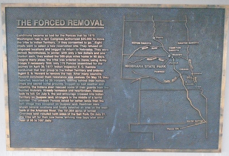
Conditions became so bad for the Poncas that by 1876 Washington had to act. Congress authorized $25,000 to move the tribe to Indian Territory, "if they consented to go." Eight chiefs went to select a new reservation site. They refused all proposed locations and begged to return to Nebraska. They were denied. Nonetheless, in winter, with only a few dollars and one blanket each, they walked the 500-plus miles home in 40 days. Despite many pleas, the tribe was ordered to move, using Army troops if necessary. Still, only 170 Poncas assembled for the journey on April 30, 1877. Indian Inspector E. C. Kemble conducted that first group to the Indian Territory and ordered Agent E. A. Howard to remove the rest. After many councils, Howard convinced them resistance was useless.
On May 16, they departed, escorted by 25 troopers, leaving behind their homes, crops and sacred burial grounds. Dogged by bad weather and calamity, the Indians even rescued some of their guards from the flooded Niobrara. Already homesick and heartbroken, disease took its toll. On July 9, the sad entourage crossed into Indian Territory on
this page online
[Map of Removal Route to Indian Territory]
Erected by Nebraska State Parks.
Topics. This historical marker is listed in these topic lists: Civil Rights • Disasters • Indigenous Peoples and Communities. A significant historical date for this entry is April 30, 1877.
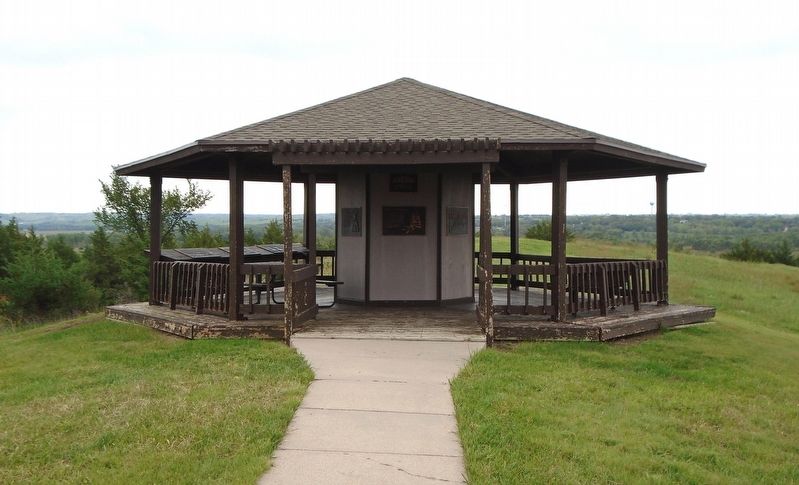
Location. 42° 45.953′ N, 98° 3.082′ W. Marker is near Niobrara, Nebraska, in Knox County. Marker is under the J. Alan Cramer Interpretive Shelter in Niobrara State Park. Touch for map. Marker is at or near this postal address: 89261 522 Avenue, Niobrara NE 68760, United States of America. Touch for directions.

Regionally, this marker is in Eastern Nebraska. It is also in the American Midwest, in the Corn Belt, and on the prairies.
Photographed by William Fischer, Jr., September 17, 2026
2. J. Alan Cramer Interpretive Shelter Markers
Other nearby markers. At least 8 other markers are within walking distance of this marker: J. Alan Cramer Interpretive Shelter (here, next to this marker); Lewis and Clark Expedition (here, next to this marker); They Opened The West (here, next to this marker); 1846-47 Mormon Winter Camp (here, next to this marker); The Peaceful Ponca (here, next to this marker); "We Proceeded On" (here, next to this marker); Niobrara (here, next to this marker); Early Fur Trade and Fort Mitchell (here, next to this marker). Touch for a list and map of all markers in Niobrara.
More about this marker. Nebraska State Parks entrance fee required.
Also see . . . The Removal of the Ponca Indians. (Submitted on September 27, 2026, by William Fischer, Jr. of Reynoldsburg, Ohio.)
Credits. This page was last revised on September 27, 2026. It was originally submitted on September 27, 2026, by William Fischer, Jr. of Reynoldsburg, Ohio. This page has been viewed 5 times since then. Photos: 1, 2. submitted on September 27, 2026, by William Fischer, Jr. of Reynoldsburg, Ohio.
