Carlsbad in San Diego County, California — The American West (Pacific Coastal)
Ranch of the Spanish Daggers
Rancho de Los Quiotes
Photographed by Tom Bosse, September 5, 2026
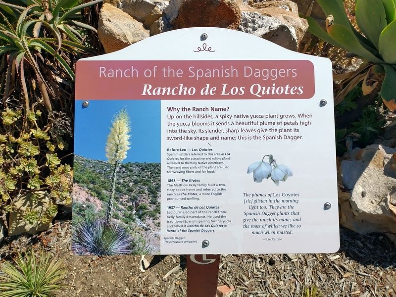
1. Ranch of the Spanish Daggers Marker
Why the Ranch Name?
Up on the hillsides, a spiky native yucca plant grows. When the yucca blooms it sends a beautiful plume of petals high in the sky. Its slender, sharp leaves give the plant its sword-like shape and name: this is the Spanish Dagger.
Before Leo – Los Quiotes
Spanish settlers referred to this area as Los Quiotes for the attractive and edible plant revealed to them by Native Americans. Then and now, parts of the plant are used for weaving fibers and for food.
1868 – The Kiotes
The Matthew Kelly family built a two-story adobe home and referred to the ranch as The Kiotes, a more English pronounced spelling.
1937 - Rancho de Los Quiotes
Leo purchased part of the ranch from Kelly family descendants. He used the traditional Spanish spelling for the yucca and called it Rancho de Los Quiotes or Ranch of the Spanish Daggers.
[Captions:]
Spanish Dagger (Hesperoyucca whipplei)
The pumes of Los Coyotes [sic] glisten in the morning light too. They are the Spanish Daggers that give the ranch its name, and the roots of which we like so much when roasted.
- Leo Carrillo
Erected by Leo Carrillo Ranch
this page online
Topics and series. This historical marker is listed in these topic lists: Agriculture • Indigenous Peoples and Communities • Settlements & Settlers. In addition, it is included in the Leo Carrillo Ranch Historic Park series list. A significant historical year for this entry is 1868.
Location. 33° 7.126′ N, 117° 14.207′ W. Marker is in Carlsbad, California, in San Diego County. It can be reached from Flying Leo Carrillo Lane, on the left when traveling north. Marker is located within the Leo Carrillo Ranch Historic Park. Touch for map. Marker is at or near this postal address: 6200 Flying Leo Carrillo Ln, Carlsbad CA 92009, United States of America. Touch for directions.

Regionally, this marker is in the Peninsular Ranges. It is also in the American Borderlands and on the Pacific Coast. Globally, it is in North America, on the Ring of Fire, on the Pacific Rim, in the Western Hemisphere, in the Western World, and in the Anglosphere. Historically, it finds itself in what was once New Spain and also Mexico’s Alta California.
Other nearby markers. At least 8 other markers are within walking distance
Photographed by Tom Bosse, September 5, 2026
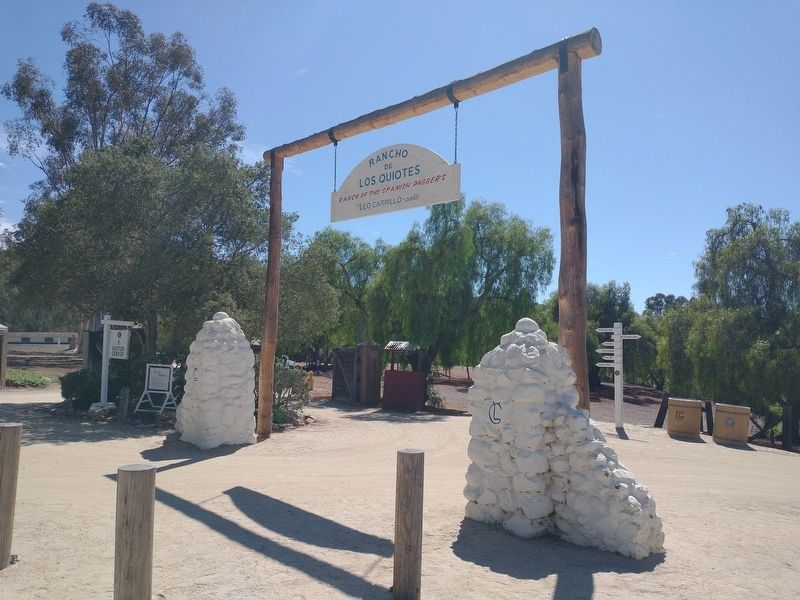
2. Entrance to the Ranch of the Spanish Daggers
Also see . . .
1. Leo Carrillo Ranch Historic Park. (Submitted on September 27, 2026, by Tom Bosse of Jefferson City, Tennessee.)
2. Leo Carrillo. (Submitted on September 27, 2026, by Tom Bosse of Jefferson City, Tennessee.)
Photographed by Tom Bosse, September 5, 2026
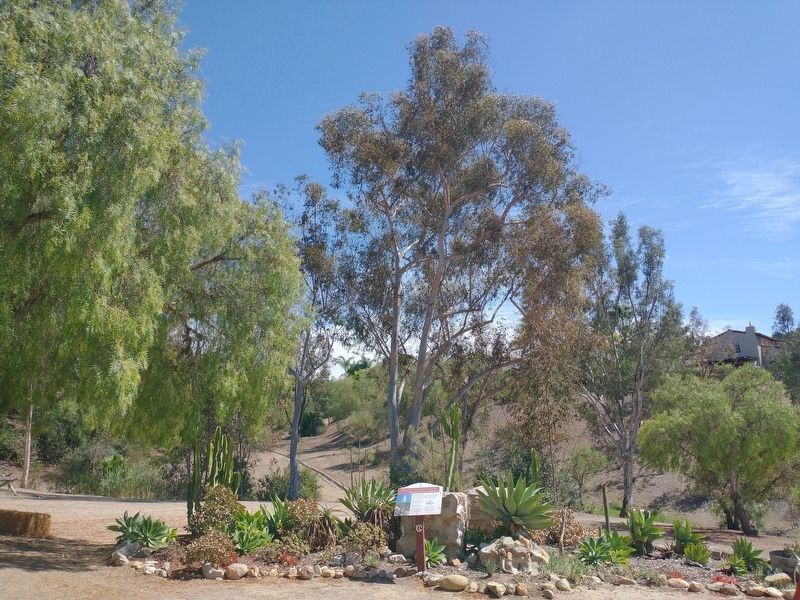
3. Ranch of the Spanish Daggers Marker
Credits. This page was last revised on October 8, 2026. It was originally submitted on September 27, 2026, by Tom Bosse of Jefferson City, Tennessee. This page has been viewed 8 times since then. Photos: 1, 2, 3. submitted on September 27, 2026, by Tom Bosse of Jefferson City, Tennessee. • Andrew Ruppenstein was the editor who published this page.
