Pomeroy in Garfield County, Washington — The American West (Northwest)
Three Forks Indian Trails.
Lewis-Clark Trail
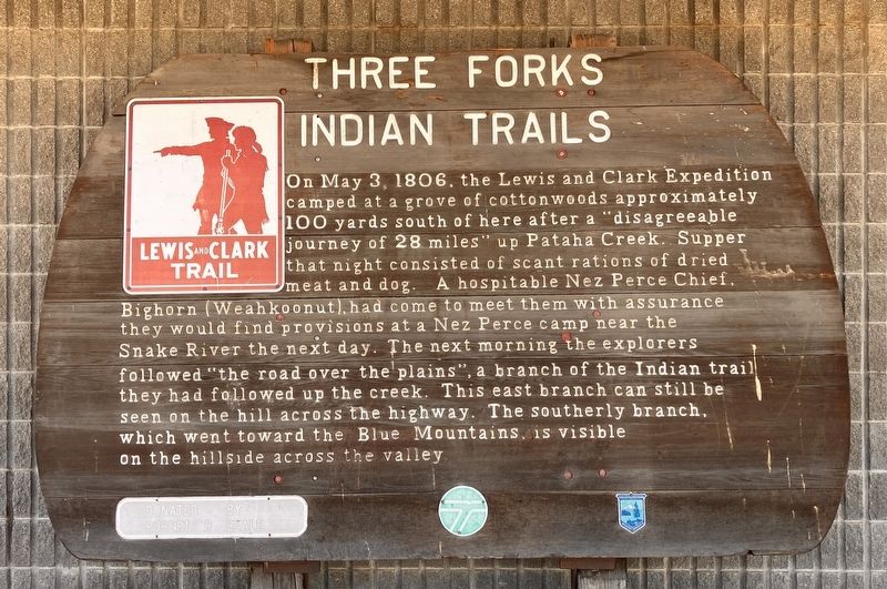
Photographed by Barry Swackhamer, June 15, 2026
1. Three Forks Indian Trails. Marker
Erected by Washington State Parks.
Topics. This historical marker is listed in these topic lists: Exploration • Indigenous Peoples and Communities • Roads & Vehicles. A significant historical date for this entry is May 4, 1806.
Location. 46° 28.414′ N, 117° 36.076′ W. Marker is in Pomeroy, Washington, in Garfield County. It is on Columbia Street near South 7th Street, on the right when traveling east. Touch for map. Marker is at or near this postal address: 708 Columbia Street, Pomeroy WA 99347, United States of
this page online

Regionally, this marker is in the Palouse. It is also in the American Mountain West and in the Lewis & Clark Corridor. Globally, it is in North America, on the Pacific Rim, in the Western Hemisphere, in the Western World, and in the Anglosphere.
Other nearby markers. At least 6 other markers are within 9 miles of this marker, measured as the crow flies: Garfield County GAR Monument (about 500 feet away, measured in a direct line); Historic Ground (approx. half a mile away); Ancient Crossroads (approx. 5.9 miles away); Kimooenim Creek Lunch Site (approx. 8.4 miles away); "the Soil is extreamly fertile" (approx. 8.8 miles away); Lewis and Clark Expedition (approx. 8.8 miles away).
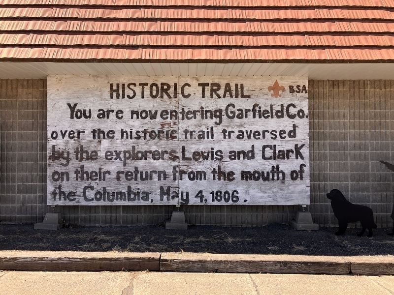
Photographed by Barry Swackhamer, June 15, 2026
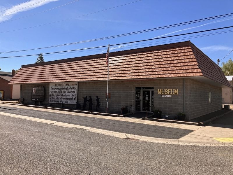
2. Historic Trail marker erected by the Boy Scouts of America
"You are now entering Garfield Co. over the historic trail traversed by the explorers Lewis and Clark on their return from the mouth of the Columbia {river], May 4, 1806."
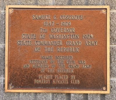
Photographed by Barry Swackhamer, June 15, 2026
3. Samuel G. Cosgrove
7th Governor
State of Washington 1909
State Commander Grand Army
of the Republic
names inscribed
Veterans of the Civil War
and Members of the Grand Army
of the Republic
Plaque place by Pomeroy Kiwanis Club
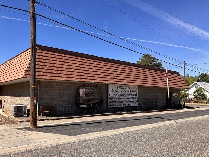
Photographed by Barry Swackhamer, June 15, 2026
4. Three Forks Indian Trails. Marker
Photographed by Barry Swackhamer, June 15, 2026
5. Samuel G. Cosgrove plaque behind the flag-pole.
Credits. This page was last revised on September 27, 2026. It was originally submitted on September 27, 2026, by Barry Swackhamer of Brentwood, California. This page has been viewed 6 times since then. Photos: 1, 2, 3, 4, 5. submitted on September 27, 2026, by Barry Swackhamer of Brentwood, California.
