Carlsbad in San Diego County, California — The American West (Pacific Coastal)
Water is Life
September 5, 2026
1. Water is Life Marker
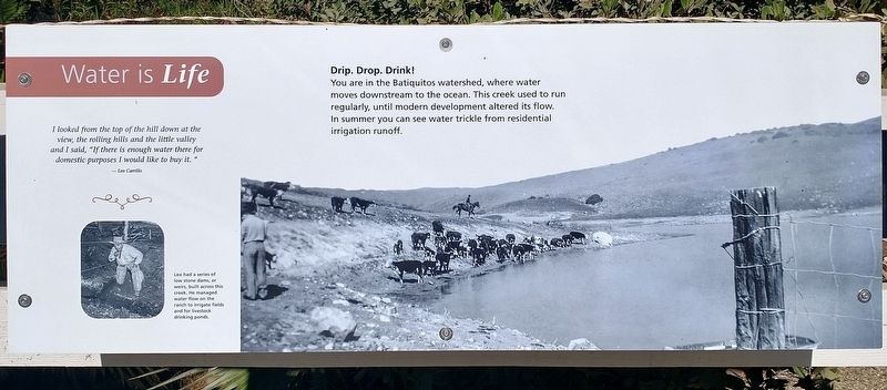
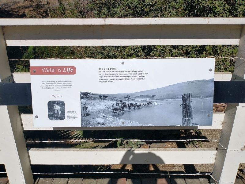
Drip. Drop. Drink!
You are in the Batiquitos watershed, where water moves downstream to the ocean. This creek used to run regularly, until modern development altered its flow. In summer you can see water trickle from residential irrigation runoff.
[Insert]: I looked from the top of the hill down at the view, the rolling hills and the little valley and I said, “If there is enough water there for domestic purposes I would like to buy it. – Leo Carrillo.
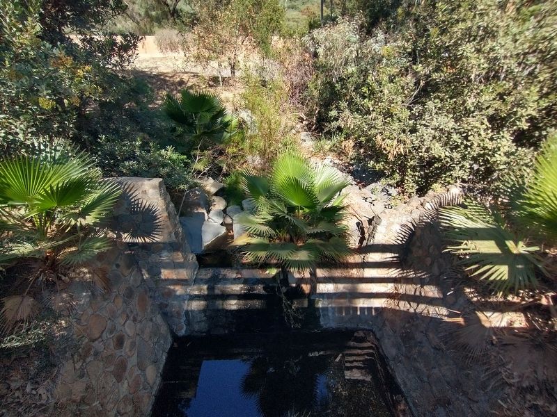
[Caption]: Leo had a series of low stone dams, or weirs, built across this creek. He managed water flow on the ranch to irrigate fields and for livestock drinking ponds.
Erected by Leo Carrillo Ranch Historic Park.
Topics and series. This historical marker is listed in these topic lists: Agriculture • Waterways & Vessels. In addition, it is included in the Leo Carrillo Ranch Historic Park series list.
Location. 33° 7.244′ N, 117° 14.192′ W. Marker is in Carlsbad, California, in San Diego County. It can be reached from Flying Leo Carrillo Lane, on the left when traveling north. Marker is located within the
this page online

Regionally, this marker is in the Peninsular Ranges. It is also in the American Borderlands and on the Pacific Coast. Globally, it is in North America, on the Ring of Fire, on the Pacific Rim, in the Western Hemisphere, in the Western World, and in the Anglosphere. Historically, it finds itself in what was once New Spain and also Mexico’s Alta California.
Other nearby markers. At least 8 other markers are within walking distance of this marker: The Old Way In (here, next to this marker); The First People (within shouting distance of this marker); Gateway to a Golden Era (within shouting distance of this marker); Leo Carrillo Ranch (within shouting distance of this marker); Glamour Boys (about 600 feet away, measured in a direct line); Ranch of the Spanish Daggers (about 700 feet away); Saddle Up (about 800 feet away); Pais. Agua. Sol. (approx. 0.2 miles away). Touch for a list and map of all markers in Carlsbad.
Also see . . .
1. Leo Carrillo Ranch Historic Park.
Photographed by Tom Bosse, September 5, 2026
2. Water is Life Marker
2. Leo Carrillo. (Submitted on September 27, 2026, by Tom Bosse of Jefferson City, Tennessee.)
Photographed by Tom Bosse, September 5, 2026
3. Water is Life Marker
Photographed by Tom Bosse, September 5, 2026
4. Water is Life Marker
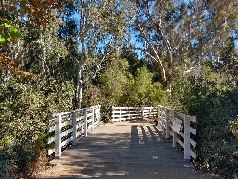
Marker is on the left.
Photographed by Tom Bosse, September 5, 2026
5. Low stone dam, or weir, built across the creek by Leo Carrillo.
Credits. This page was last revised on October 7, 2026. It was originally submitted on September 27, 2026, by Tom Bosse of Jefferson City, Tennessee. This page has been viewed 7 times since then. Photos: 1. submitted on October 7, 2026. 2, 3, 4, 5. submitted on September 27, 2026, by Tom Bosse of Jefferson City, Tennessee. • Andrew Ruppenstein was the editor who published this page.
