Near Niobrara in Knox County, Nebraska — The American Midwest (Upper Plains)
Niobrara
Photographed by William Fischer, Jr., September 17, 2026
1. Niobrara Marker
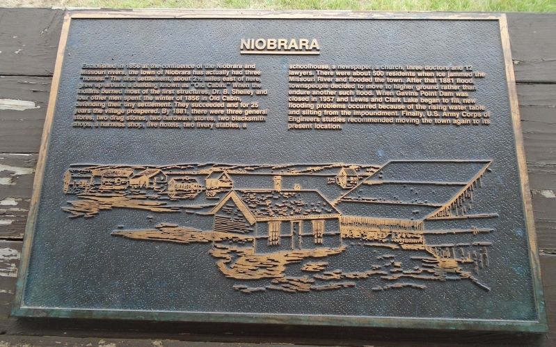
Established in 1856 at the confluence of the Niobrara and Missouri rivers, the town of Niobrara has actually had three homes." The first settlement, about 2 miles east of here grew up around a building known as "Old Cabin." When the Indians burned most of the first structures, Dr. B. Shelley and four other men spent the winter of 1856 in Old Cabin, defending their tiny settlement. They succeeded and for 25 years the village prospered. By 1881, there were three general stores, two drug stores, two hardware stores, two blacksmith shops, a harness shop, five hotels two livery stables, a schoolhouse, a newspaper, a church, three doctors and 12 lawyers. There were about 500 residents when ice jammed the Missouri River and flooded the town.
After that 1881 flood townspeople decided to move to higher ground rather than endure another such flood. When Gavins Point Dam was closed in 1957 and Lewis and Clark Lake began to fill, new flooding problems occurred because of the rising water table and silting from the impoundment. Finally, U.S. Army Corps of Engineers studies recommended moving the town again to its present
this page online
[Stylized town illustration]
Erected by Nebraska State Parks.
Topics. This historical marker is listed in these topic lists: Disasters • Immigration • Settlements & Settlers • Waterways & Vessels. A significant historical year for this entry is 1856.
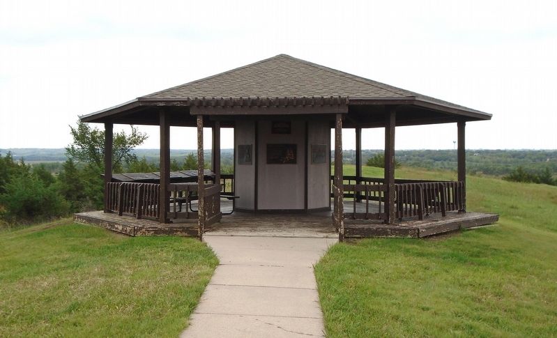
Location. 42° 45.953′ N, 98° 3.082′ W. Marker is near Niobrara, Nebraska, in Knox County. Marker is under the J. Alan Cramer Interpretive Shelter in Niobrara State Park. Touch for map. Marker is at or near this postal address: 89261 522 Avenue, Niobrara NE 68760, United States of America. Touch for directions.

Regionally, this marker is in Eastern Nebraska. It is also in the American Midwest, in the Corn Belt, and on the prairies. Globally, it is in North America, the Western Hemisphere, the Western World, and the Anglosphere. Historically, it finds itself in what was once the Louisiana Purchase.
Other nearby markers. At least 8 other markers are within walking distance of this marker: J. Alan Cramer Interpretive Shelter (here, next to this marker); Lewis and Clark Expedition (here, next to this marker); They Opened The West (here, next to this marker);
Photographed by William Fischer, Jr., September 17, 2026
2. J. Alan Cramer Interpretive Shelter Markers
More about this marker. Nebraska State Parks entrance fee required.
Also see . . . Niobrara: Our Rich History. (Submitted on September 27, 2026, by William Fischer, Jr. of Reynoldsburg, Ohio.)
Credits. This page was last revised on September 27, 2026. It was originally submitted on September 27, 2026, by William Fischer, Jr. of Reynoldsburg, Ohio. This page has been viewed 2 times since then. Photos: 1, 2. submitted on September 27, 2026, by William Fischer, Jr. of Reynoldsburg, Ohio.
