Near Niobrara in Knox County, Nebraska — The American Midwest (Upper Plains)
Early Fur Trade and Fort Mitchell
Photographed by William Fischer, Jr., September 17, 2026
1. Early Fur Trade and Fort Mitchell Marker
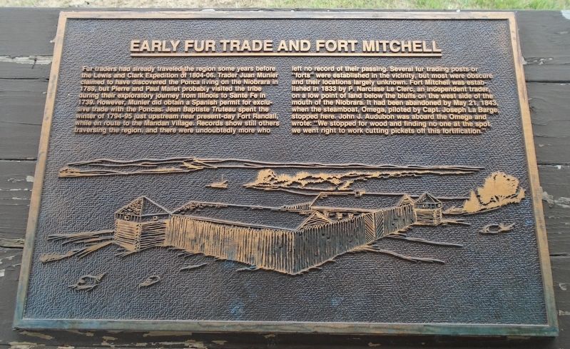
Fur traders had already traveled the region some years before the Lewis and Clark Expedition of 1804-06. Trader Juan Munier claimed to have discovered the Ponca living on the Niobrara in 1789, but Pierre and Paul Mallet probably visited the tribe during their exploratory journey from Illinois to Sante Fe in 1739. However, Munier did obtain a Spanish permit for exclusive trade with the Poncas. Jean Baptiste Truteau spent the winter of 1794-95 just upstream near present-day Fort Randall, while en route to the Mandan Village. Records show still others traversing the region, and there were undoubtedly more who left no record of their passing.
Several fur trading posts or forts were established in the vicinity, but most were obscure and their locations largely unknown. Fort Mitchell was established in 1833 by P. Narcisse Le Clerc, an independent trader, on a low point of land below the bluffs on the west side of the mouth of the Niobrara. It had been abandoned by May 21, 1843, when the steamboat, Omega, piloted by Capt. Joseph La Barge, stopped here. John J. Audubon was aboard the Omega and wrote: "We stopped
this page online
[Stylized Fort Mitchell illustration]
Erected by Nebraska State Parks.
Topics. This historical marker is listed in these topic lists: Forts and Castles • Indigenous Peoples and Communities • Industry & Commerce • Waterways & Vessels. A significant historical date for this entry is May 21, 1843.
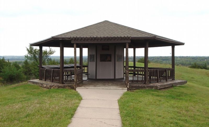
Location. 42° 45.953′ N, 98° 3.082′ W. Marker is near Niobrara, Nebraska, in Knox County. Marker is under the J. Alan Cramer Interpretive Shelter in Niobrara State Park. Touch for map. Marker is at or near this postal address: 89261 522 Avenue, Niobrara NE 68760, United States of America. Touch for directions.

Regionally, this marker is in Eastern Nebraska. It is also in the American Midwest, in the Corn Belt, and on the prairies. Globally, it is in North America, the Western Hemisphere, the Western World, and the Anglosphere. Historically, it finds itself in what was once the Louisiana Purchase.
Other nearby markers. At least 8 other markers are within walking distance of this marker: J. Alan Cramer Interpretive Shelter
Photographed by William Fischer, Jr., September 17, 2026
2. J. Alan Cramer Interpretive Shelter Markers
More about this marker. Nebraska State Parks entrance fee required.
Credits. This page was last revised on September 27, 2026. It was originally submitted on September 27, 2026, by William Fischer, Jr. of Reynoldsburg, Ohio. This page has been viewed 2 times since then. Photos: 1, 2. submitted on September 27, 2026, by William Fischer, Jr. of Reynoldsburg, Ohio.
