Verdel in Knox County, Nebraska — The American Midwest (Upper Plains)
George Shannon's Final Years
George Shannon Trail
Photographed by William Fischer, Jr., September 17, 2026
1. George Shannon's Final Years Marker
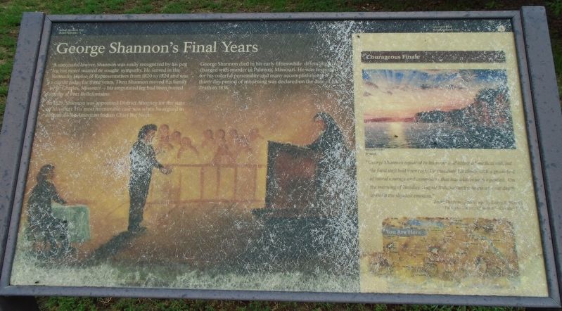
A successful lawyer, Shannon was easily recognized by his peg leg but never wanted or sought sympathy. He served in the Kentucky House of Representatives from 1820 to 1824 and was a circuit judge for three years. Then Shannon moved his family to St. Charles, Missouri—his amputated leg had been buried nearby at Fort Bellefontaine.
In 1829, Shannon was appointed District Attorney for the state of Missouri. His most memorable case was when he argued in defense of the American Indian Chief Big Neck.
George Shannon died in his early fifties while defending a man charged with murder in Palmyra, Missouri. He was respected for his colorful personality and many accomplishments—a thirty day period of mourning was declared on the date of his death in 1836.
Courageous Finale
"George Shannon repaired to his room and obtained medical aid, but the fatal shift had been cast. He sustained his illness with a great deal of moral courage and composure that has seldom been equaled. On the morning of Tuesday, August 30th, he sunk into the arms of death without the slightest emotion."
From The Fate of the Corps by Larry E. Morris
"Palmyra Missouri Journal-October
this page online
Erected by National Park Service.
Topics. This historical marker is listed in these topic lists: Charity & Public Work • Civil Rights • Indigenous Peoples and Communities • Settlements & Settlers. A significant historical year for this entry is 1820.
Location. 42° 48.661′ N, 98° 11.614′ W. Marker is in Verdel, Nebraska, in Knox County. It is at the intersection of Main Street (State Highway 12) and 516th/Glick Avenue, on the right when traveling west on Main Street. Touch for map. Marker is at or near this postal address: 109 West Main Street, Niobrara NE 68760, United States of America. Touch for directions.

Regionally, this marker is in Eastern Nebraska and in the Niobrara Valley. It is also in the American Midwest, in the Corn Belt, and on the prairies. Globally, it is in North America, the Western Hemisphere, the Western World, and the Anglosphere. Historically, it finds itself in what was once the Louisiana Purchase.
Other nearby markers. At least 8 other markers are within 8 miles of this marker, measured as the crow flies: Managing For Biodiversity (approx. 6.7 miles away); The Ponca Tribe
Photographed by William Fischer, Jr., September 17, 2026
2. George Shannon's Final Years Marker
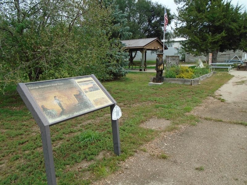
More about this marker. The marker is heavily weathered.
Photographed by William Fischer, Jr., September 17, 2026
3. Bell in Adjoining Village Park
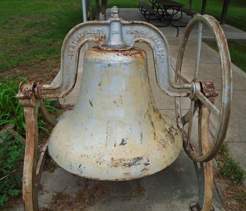
Not related to the Shannon marker but posted here for posterity. Presumably from a local church.
Credits. This page was last revised on September 28, 2026. It was originally submitted on September 27, 2026, by William Fischer, Jr. of Reynoldsburg, Ohio. This page has been viewed 5 times since then. Photos: 1. submitted on September 27, 2026, by William Fischer, Jr. of Reynoldsburg, Ohio. 2, 3. submitted on September 28, 2026, by William Fischer, Jr. of Reynoldsburg, Ohio.
