Union in Union County, New Jersey — The American Northeast (Mid-Atlantic)
Liberty Hall
New Jersey Historical Commission
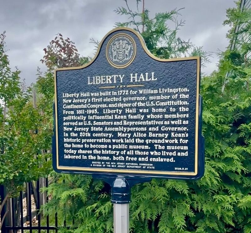
1. Liberty Hall Marker
Liberty Hall was built in 1772 for William Livingston, New Jersey’s first elected governor, member of the Continental Congress, and signer of the U.S. Constitution. From 1811-1995, Liberty Hall was home to the politically influential Kean family whose members served as U.S. Senators and Representatives as well as New Jersey State Assemblypersons and Governor. In the 20th century, Mary Alice Barney Kean's historic preservation work laid the groundwork for the home to become a public museum. The museum today shares the history of all those who lived and labored in the home, both free and enslaved.
Erected 2026 by New Jersey Historical Commission. (Marker Number 2026.B.01.)
Topics. This historical marker is listed in these topic lists: Colonial Era • Government & Politics • War, US Revolutionary • Women. A significant historical year for this entry is 1772.
Location. 40° 40.71′ N, 74° 13.74′ W. Marker is in Union, New Jersey, in Union County. It can be reached from the intersection of Morris Avenue (New Jersey Route 82) and Kean Drive, on the right when traveling west. The marker stands outside the main
this page online

Regionally, this marker is in North Jersey, in Greater Newark, and in the New York City Metropolitan Area. It is also in the American Northeast, in the Mid-Atlantic, and on the Eastern Seaboard. Globally, it is in the North Atlantic Region, North America, the Western Hemisphere, the Western World, and the Anglosphere. Historically, it finds itself in what was once New Netherland and also one of the original Thirteen Colonies.
Other nearby markers. At least 8 other markers are within walking distance of this marker: Horse Chestnut Tree (a few steps from this marker); a different marker also named Liberty Hall (a few steps from this marker); Carriage House (within shouting distance of this marker); Steam Tractor (within shouting distance of this marker); The Serpentine Path (within shouting distance of this marker); Early African Americans at Liberty Hall (about 300 feet away, measured in a direct line); Connecticut Farms (about 300 feet away); The Blue House (about 400 feet away). Touch for a list and map of all markers in Union.
More about this marker. This marker is part of the New Jersey State Historical Markers Program’s 250th Initiative.
Credits. This page was last revised on September 30, 2026. It was originally submitted on September 27, 2026, by New Jersey Historical Commission of Trenton, New Jersey. This page has been viewed 27 times since then. Last updated on September 29, 2026, by New Jersey Historical Commission of Trenton, New Jersey. Photo 1. submitted on September 27, 2026, by New Jersey Historical Commission of Trenton, New Jersey. • Devry Becker Jones was the editor who published this page.
Editor’s want-list for this marker. A wide shot of the marker in context. • Verification of the geocoordinates. • Can you help?
