Saukville in Ozaukee County, Wisconsin — The American Midwest (Great Lakes)
The Saukville Trails
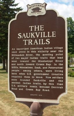
Photographed by Paul F, July 15, 2009
1. The Saukville Trails Marker
south side of double sided marker
Erected 1998 by State Historical Society of Wisconsin. (Marker Number 375.)
Topics and series. This historical marker is listed in these topic lists: Indigenous Peoples and Communities • Roads & Vehicles. In addition, it is included in the Wisconsin Historical Society series list.
Location. 43° 22.873′ N, 87° 56.345′ W. Marker is in Saukville, Wisconsin, in Ozaukee County. It is at the intersection of Green Bay Avenue and Decorah Street, on the right when traveling west on Green Bay Avenue. Touch for map. Marker is in this post office area: Saukville WI 53080, United States of America. Touch for directions.

Regionally, this marker is in Southeast Wisconsin and in Greater Milwaukee. It is also in the American Midwest and in the Corn Belt. Globally, it is in North America, on the Great Lakes, in the Western Hemisphere, in the Western World, and in the Anglosphere. Historically, it finds itself in what was once the territory of the Mississippian Culture and also the Northwest Territory.
Other nearby markers. At least 8 other markers are within 4 miles of this marker, measured as the crow flies: In memory of Pater J Schardt (approx. ¼ mile away); Anchor from Steamer Toledo (approx. 2.9 miles away); The Old Ozaukee County Courthouse (approx. 3.4 miles
this page online
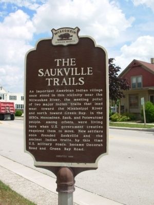
Photographed by Paul F, July 15, 2009
2. The Saukville Trails Marker
north side of double sided marker
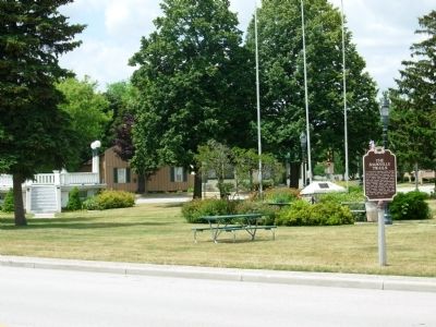
Photographed by Paul F, July 15, 2009
3. The Saukville Trails Marker
Triangle Park
Credits. This page was last revised on June 16, 2016. It was originally submitted on May 28, 2010, by Paul Fehrenbach of Richfield, Wisconsin. This page has been viewed 1,601 times since then and 69 times this year. Photos: 1, 2, 3. submitted on May 28, 2010, by Paul Fehrenbach of Richfield, Wisconsin. • Bill Pfingsten was the editor who published this page.
