Tiverton in Newport County, Rhode Island — The American Northeast (New England)
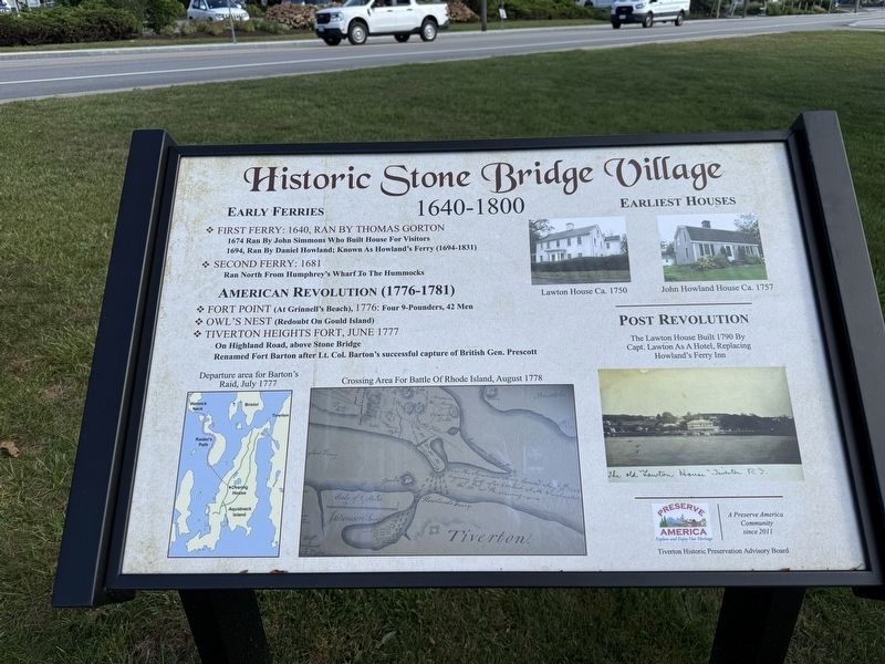
Historic Stone Bridge Village
1640 - 1800
Photographed by Devry Becker Jones, September 18, 2026
1. Historic Stone Bridge Village Marker
Early Ferries
❖ First Ferry: 1640, ran by Thomas Gorton1674 ran by John Simmons who built house for visitors❖ Second Ferry: 1681
1694, ran by Daniel Howland; known as Howland's Ferry (1694-1831)Ran north from Humphrey's Wharf to the Hummocks
American Revolution (1776-1781)
❖ Fort Point (at Grinnell's Beach), 1776: four 9-pounders, 42 men
❖ Owl's Next (Redoubt on Gould Island)
❖ Tiverton Heights Fort, June 1777On Highland Road, above Stone Bridge
Renamed Fort Barton after Lt. Col. Barton's successful capture of British Gen. Prescott
Departure area for Barton's Raid, July 1777 • Crossing area for Battle of Rhode Island, August 1778
Earliest Houses
Lawton House ca. 1750 • John Howland House ca. 1757
Post Revolution,br> The Lawton House built 1790 by Capt. Lawton as a hotel, replacing Howland's Ferry Inn
Erected by Tiverton Historic Preservation Advisory Board.
Topics. This historical marker is listed in these topic lists: Colonial Era • Industry & Commerce • War, US Revolutionary • Waterways & Vessels. A significant historical month for this entry is June 1777.
Location. 41° 37.561′ N,
this page online

Regionally, this marker is on Narragansett Bay. It is also in the American Northeast, in New England, and on the Eastern Seaboard. Globally, it is in the North Atlantic Region, North America, the Western Hemisphere, the Western World, and the Anglosphere. Historically, it finds itself in what was once one of the original Thirteen Colonies.
Other nearby markers. At least 8 other markers are within walking distance of this marker: A different marker also named Historic Stone Bridge Village (here, next to this marker); Roll of Honor (within shouting distance of this marker); Town of Tiverton, Rhode Island World War II Honor Roll (approx. 0.3 miles away); General Lafayette (approx. 0.3 miles away); Fort Barton (approx. 0.3 miles away); Fort Barton Redoubt (approx. 0.3 miles
Photographed by Devry Becker Jones (CC0), September 18, 2026
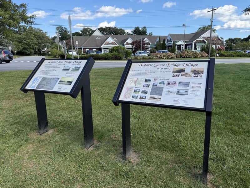
2. Historic Stone Bridge Village Markers
Credits. This page was last revised on September 29, 2026. It was originally submitted on September 29, 2026, by Devry Becker Jones of Washington, District of Columbia. This page has been viewed 3 times since then. Photos: 1, 2. submitted on September 29, 2026, by Devry Becker Jones of Washington, District of Columbia.
