Chattahoochee in Gadsden County, Florida — The American South (South Atlantic)
Seminole Appeal
Photographed by James L.Whitman, September 26, 2026
1. Seminole Appeal Marker
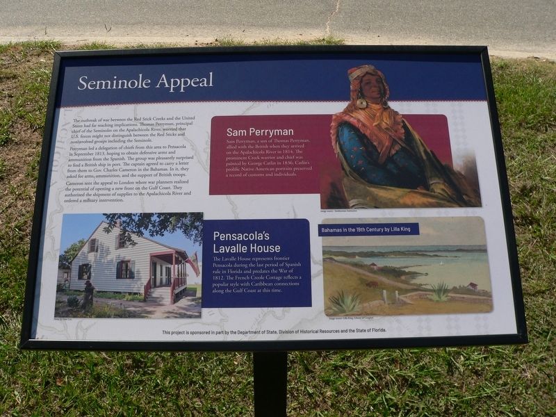
The outbreak of war between the Red Stick Creeks and the United State had far reaching implications. Thomas Perryman, principal chief of the Seminoles on the Apalachicola River, worried that U.S. forces might not distinguish between the Red Sticks and noninvolved groups including the Seminole.
Perryman led a delegation of chiefs from this area to Pensacola in September 1813, hoping to obtain defensive arms and ammunition from the Spanish. The group was pleasantly surprised to find a British ship in port. The captain agreed to carry a letter from them to Gov. Charles Cameron in the Bahamas. In it, they asked for arms, ammunition, and the support of British troops.
Cameron sent the appeal to London where war planners realized the potential of opening a new front on the Gulf Coast. They authorized the shipment of supplies to the Apalachicola River and ordered a military intervention.
Sam Perryman
Sam Perryman, a son of Thomas Perryman, allied with the British when they arrived on the Apalachicola River in 1814. The prominent Creek warrior and chief was painted by George Catlin in 1836. Catlin's prolific Native
this page online
Pensacola's Lavalle House
The Lavalle House represents frontier Pensacola during the last period of Spanish rule in Florida and predates the War of 1812. The French Creole Cottage reflects a popular style with Caribbean connection along the Gulf Coast at this time.Photo by Dale Cox
(caption) Bahamas in the 19th Century by Lilla King Image source: Lila King, Library of Congress
This project is sponsored in part by the Department of State, Division of Historical Resources and the State of Florida.
Erected 2026 by Department of State, Division of Historical Resources and the State of Florida.
Topics. This historical marker is listed in these topic lists: Anthropology & Archaeology • Indigenous Peoples and Communities • War of 1812. A significant historical month for this entry is September 1813.
Location. 30° 42.037′ N, 84° 51.391′ W. Marker is in Chattahoochee, Florida, in Gadsden County. It is at the intersection of South River Landing Road and North River Landing Road, on the left when traveling south on South River Landing
Photographed by James L.Whitman, September 26, 2026
2. Seminole Appeal Marker

Regionally, this marker is in Greater Tallahassee and on the Florida Panhandle. It is also in the American South and specifically in the Deep South. Globally, it is in the North Atlantic Region, North America, a Gulf of Mexico state, the Western Hemisphere, the Western World, and the Anglosphere. Historically, it finds itself in what was once New Spain, the territory of the Mississippian Culture, one of the Confederate States of America, and the Antebellum South.
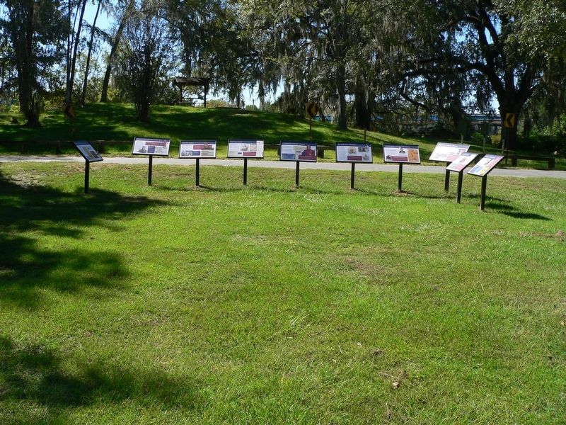
Other nearby markers. At least 8 other markers are within walking distance of this marker: Construction of Nicolls'Outpost (here, next to this marker); Red Coat Arrival (here, next to this marker); The Front Line of Freedom (here, next to this marker); What was the Creek War of 1813-1814? (here, next to this marker); The British Evacuation (here, next to this marker); Confrontation with the United States (here, next to this marker); Archaeology of Nicolls' Outpost (here, next to this marker); The Treaty of Nicolls' Outpost (here, next to this marker). Touch for a list and map of all markers in Chattahoochee.
Credits. This page was last revised on October 19, 2026. It was originally submitted on September 29, 2026, by James L.Whitman of Eufaula, Alabama. This page has been viewed 6 times since then. Photos: 1, 2. submitted on September 29, 2026, by James L.Whitman of Eufaula, Alabama. • Bernard Fisher was the editor who published this page.
