Near Interior in Jackson County, South Dakota — The American Midwest (Upper Plains)
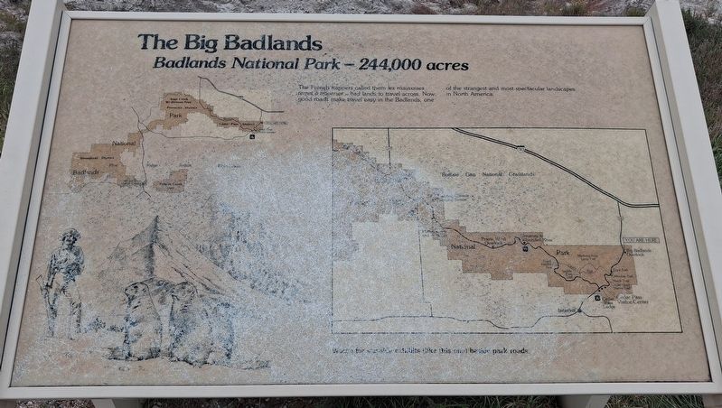
The Big Badlands
Badlands National Park - 244,000 acres
Photographed by William Fischer, Jr., September 17, 2026
1. The Big Badlands Marker
The French trappers called them les mauvaises terres a traverser - bad lands to travel across. Now good roads make travel easy in the Badlands, one of the strangest and most spectacular landscapes in North America.
Watch for wayside exhibits like this one beside park roads.
Erected by National Park Service.
Topics. This historical marker is listed in these topic lists: Environment • Parks & Recreational Areas.
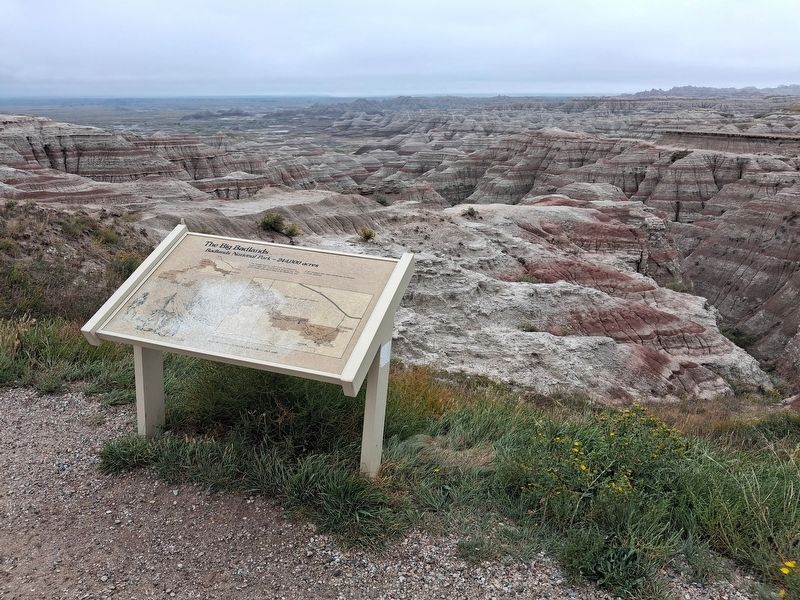
Location. 43° 47.135′ N, 101° 54.096′ W. Marker is near Interior, South Dakota, in Jackson County. Marker is at the Big Badlands Overlook in Badlands National Park, south of the Northeast Entry Station. Touch for map. Marker is in this post office area: Interior SD 57750, United States of America. Touch for directions.

Regionally, this marker is on the Oglala Lakota Pine Ridge Reservation, in West River, and in the Badlands. It is also in the American Lewis & Clark Corridor, on the prairies, and on the Northern Plains. Globally, it is in North America, the Western Hemisphere, the Western World, and the Anglosphere. Historically, it finds
this page online
Other nearby markers. At least 8 other markers are within 3 miles of this marker, measured as the crow flies: The Badlands Wall (within shouting distance of this marker); Mako sica (approx. 1.9 miles away); Anatomy of a Badland (approx. 1.9 miles away); Typical Sod House Homesteader (approx. 2½ miles away); Badlands Oasis (approx. 2.7 miles away); A Slump And A Bump (approx. 2.8 miles away); Civilian Conservation Corps Camps (approx. 2.8 miles away); Cliff Shelf Nature Trail (approx. 2.8 miles away). Touch for a list and map of all markers in Interior.
More about this marker. Although limited in historical information, it sets the tone for visitors entering the park from the north.
Also see . . . Badlands National Park. (Submitted on September 30, 2026, by William Fischer, Jr. of Reynoldsburg, Ohio.)
Photographed by William Fischer, Jr., September 17, 2026
2. The Big Badlands Marker
Photographed by William Fischer, Jr., September 19, 2026
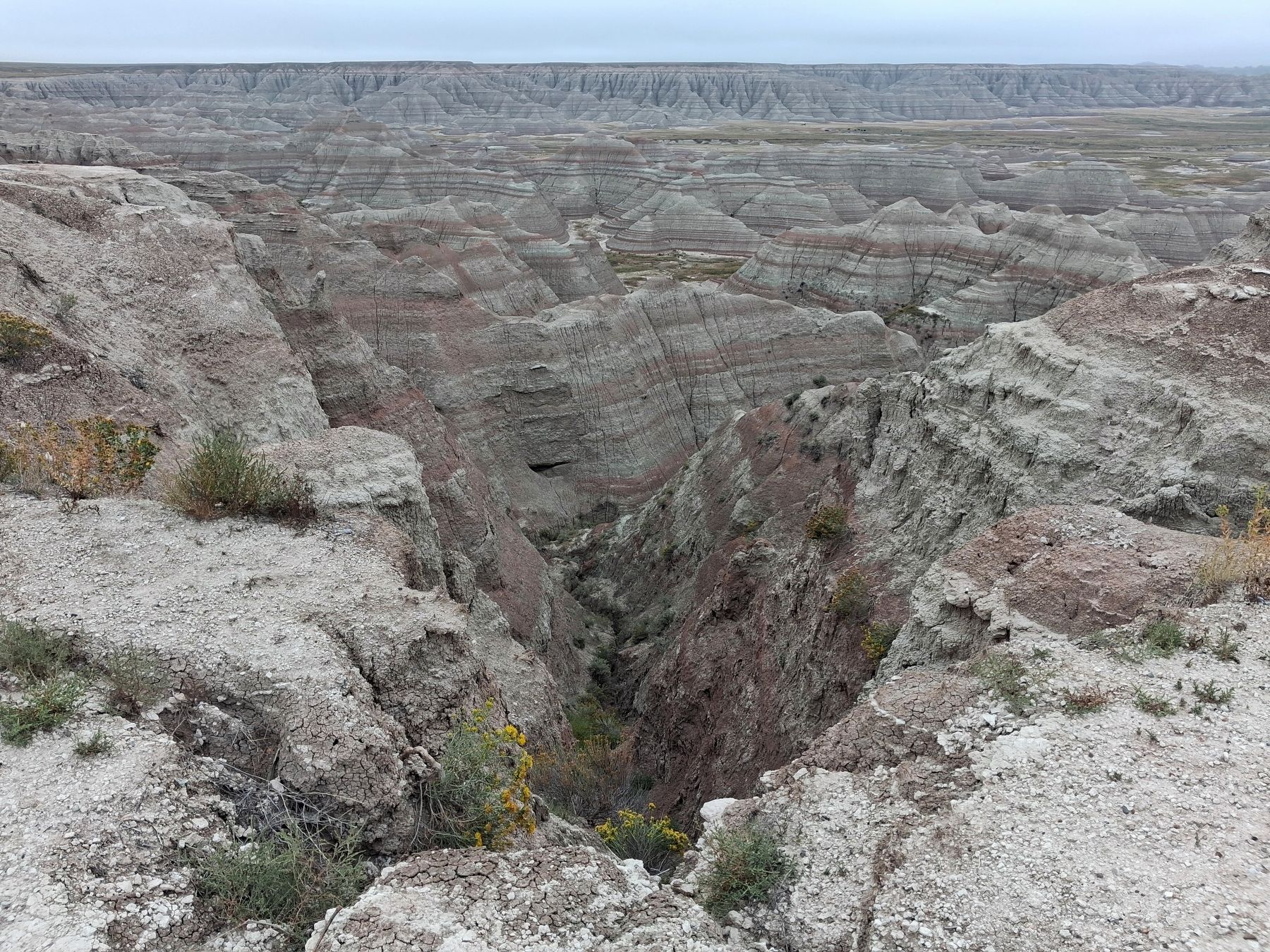
3. View from Big Badlands Overlook
Credits. This page was last revised on September 30, 2026. It was originally submitted on September 30, 2026, by William Fischer, Jr. of Reynoldsburg, Ohio. This page has been viewed 3 times since then. Photos: 1, 2, 3. submitted on September 30, 2026, by William Fischer, Jr. of Reynoldsburg, Ohio.
