Chattahoochee in Gadsden County, Florida — The American South (South Atlantic)
Red Coat Arrival
Photographed by James L.Whitman, September 26, 2026
1. Red Coat Arrival Marker
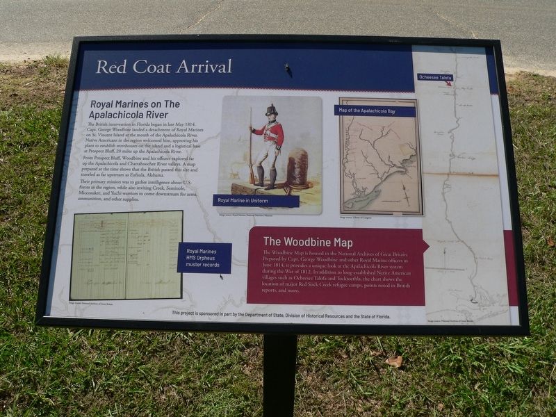
Royal Marines on The Apalachicola River
The British intervention in Florida began in late May 1814. Capt. George Woodbine landed a detachment of Royal Marineson on St. Vincent Island at the mouth of the Apalachicola River. Native Americans in the region welcomed him, approving his plans to establish storehouses on the island and a logistical base at Prospect Bluff, 20 miles up the Apalachicola River.
From Prospect Bluff, Woodbine and his officers explored far up the Apalachicola and Chattahoochee River valleys. A map prepared at the time shows that the British passed this site and traded as far upstream Eufaula, Alabama.
Their primary mission was to gather intelligence about U.S. forces in the region, while also inviting Creek, Seminole, Miccosukee, and Yuchi warriors to come downstream for arms, ammunition, and other supplies.
The Woodbine Map
The Woodbine Map is housed in the National Archives of Great Britain. Prepared by Capt. George Woodbine and other Royal Marine officer in June 1814, it provides a unique look at the Apalachicola River system during the War of 1812. In addition to long-established Native
this page online
(captions)
Royal Marine in Uniform Image source: Royal Marines National Maritime Museum
Royal Marines HMS Orpheus muster records Image source: National Archives of Great Britain
Map of the Apalachicola Bay Image source: Library of Congress
This project is sponsored in part by the Department of State, Division of Historical Resources and the State of Florida
Erected 2026 by Department of State, Division of Historical Resources and the State of Florida.
Topics. This historical marker is listed in these topic lists: Anthropology & Archaeology • Exploration • Indigenous Peoples and Communities • War of 1812. A significant historical month for this entry is May 1814.
Location. 30° 42.035′ N, 84° 51.39′ W. Marker is in Chattahoochee, Florida, in Gadsden County. It is at the intersection of South River Landing Road and North River Landing Road, on the left when traveling south on South River Landing Road. Touch for map. Marker is at or near this postal
Photographed by James L.Whitman, September 26, 2026
2. Red Coat Arrival Marker

Regionally, this marker is in Greater Tallahassee and on the Florida Panhandle. It is also in the American South and specifically in the Deep South. Globally, it is in the North Atlantic Region, North America, a Gulf of Mexico state, the Western Hemisphere, the Western World, and the Anglosphere. Historically, it finds itself in what was once New Spain, the territory of the Mississippian Culture, one of the Confederate States of America, and the Antebellum South.
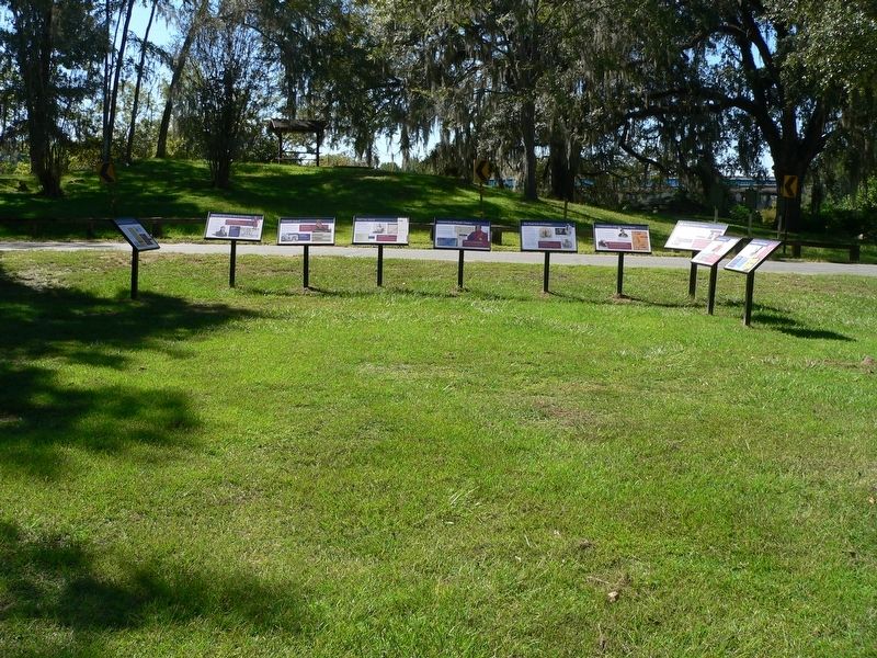
Other nearby markers. At least 8 other markers are within walking distance of this marker: What was the Creek War of 1813-1814? (here, next to this marker); Seminole Appeal (here, next to this marker); Archaeology of Nicolls' Outpost (here, next to this marker); Construction of Nicolls'Outpost (here, next to this marker); The British Evacuation (here, next to this marker); The Front Line of Freedom (here, next to this marker); Confrontation with the United States (here, next to this marker); The Treaty of Nicolls' Outpost (here, next to this marker). Touch for a list and map of all markers in Chattahoochee.
Credits. This page was last revised on October 19, 2026. It was originally submitted on September 30, 2026, by James L.Whitman of Eufaula, Alabama. This page has been viewed 7 times since then. Photos: 1, 2. submitted on September 30, 2026, by James L.Whitman of Eufaula, Alabama. • Bernard Fisher was the editor who published this page.
