Near De Soto in Washington County, Missouri — The American Midwest (Upper Plains)
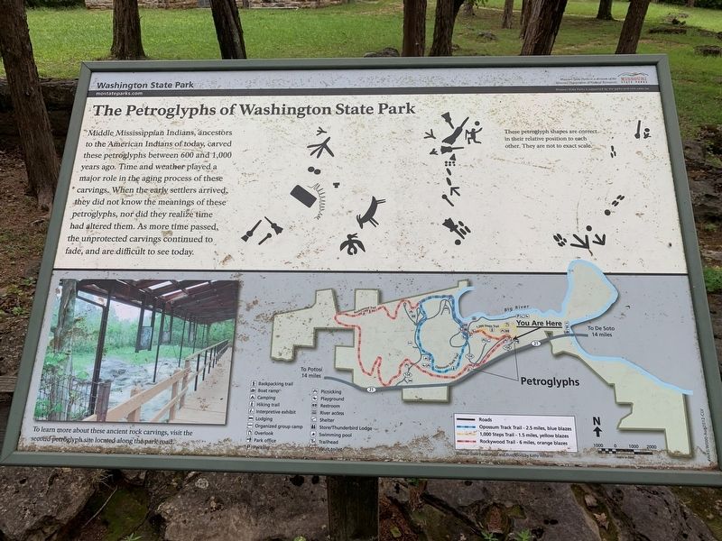
The Petroglyphs of Washington State Park
Washington State Park
Photographed by Thomas Smith, August 28, 2022
1. The Petroglyphs of Washington State Park Marker
Middle Mississippian Indians, ancestors to the American Indians of today, carved these petroglyphs between 600 and 1,000 years ago. Time and weather played a major role in the aging process of these carvings. When the early settlers arrived, they did not know the meanings of these petroglyphs, nor did they realize time had altered them. As more time passed, the unprotected carvings continued to fade, and are difficult to see today.
Erected by Missouri Department of Natural Resources, Missouri State Parks.
Topics. This historical marker is listed in these topic lists: Anthropology & Archaeology • Indigenous Peoples and Communities.
Location. 38° 5.014′ N, 90° 40.458′ W. Marker is near De Soto, Missouri, in Washington County. It is on Washington State Park Road just north of State Highway 104, on the right when traveling north. The marker stands in Washington State Park. Touch for map. Marker is at or near this postal address: 10008 Washington State Park Rd, De Soto MO 63020, United States of America. Touch for directions.

Regionally, this marker is in South-Central
this page online
Other nearby markers. At least 8 other markers are within 11 miles of this marker, measured as the crow flies: The Korean War (within shouting distance of this marker); Rock Carvings (approx. 0.6 miles away); Petroglyphs (approx. 0.6 miles away); Veterans Memorial (approx. 6½ miles away); Mooney's Bridge (approx. 8.3 miles away); In Memory of Aime Amant Vaille (approx. 10.3 miles away); Artesian Spring / Valles Mines (approx. 10.3 miles away); Slave Cabin (approx. 10.3 miles away). Touch for a list and map of all markers in De Soto.
Photographed by Garrett Koch, September 23, 2026
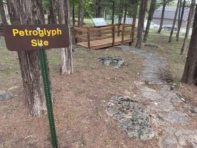
2. The Petroglyphs of Washington State Park Marker - context view, walkway to marker
Photographed by Garrett Koch, September 23, 2026
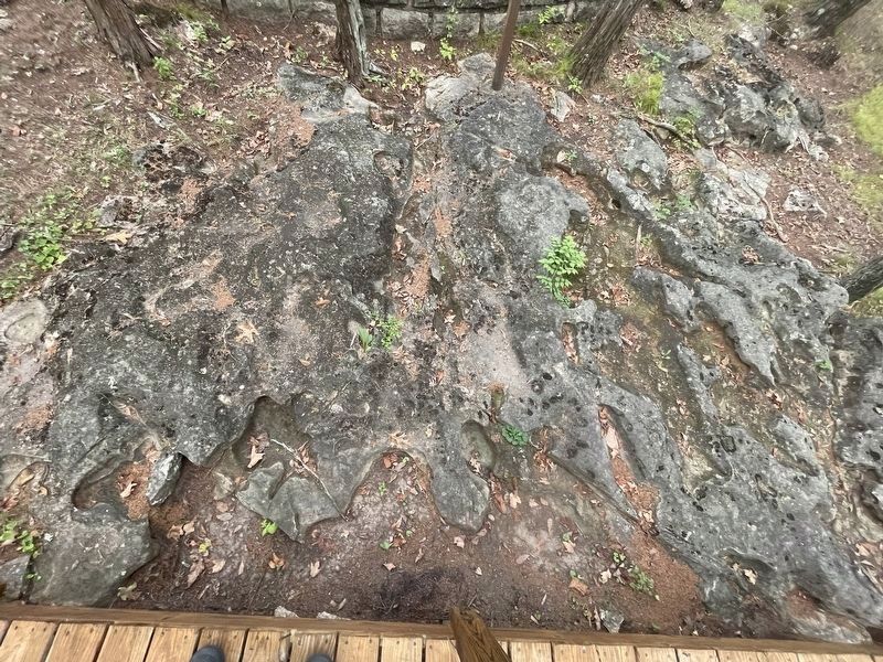
3. Petroglyphs
Credits. This page was last revised on October 2, 2026. It was originally submitted on August 30, 2022, by Thomas Smith of Waterloo, Ill. This page has been viewed 906 times since then and 86 times this year. Last updated on October 1, 2026, by Garrett Koch of Saint Louis, Missouri. Photos: 1. submitted on August 30, 2022, by Thomas Smith of Waterloo, Ill. 2, 3. submitted on October 1, 2026, by Garrett Koch of Saint Louis, Missouri. • Devry Becker Jones was the editor who published this page.
