Santa Clara in Santa Clara County, California — The American West (Pacific Coastal)
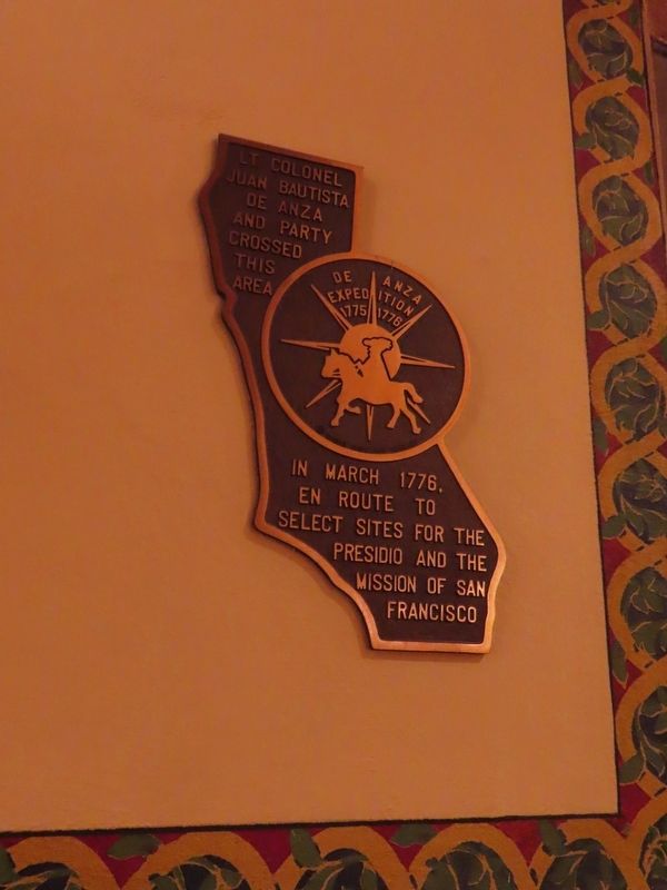
De Anza Expedition 1775-1776
— Juan Bautista De Anza National Historic Trail —
| — | Doris Birkland Beezley plaque | — |
Photographed by Alice Mansell, October 1, 2026
1. De Anza Expedition 1775-1776 Marker
Lt. Colonel Juan Buatista de Anza and party crossed this area in March 1776, en route to select sites for the Presidio and the Mission of San Francisco
Erected 1976 by Mission Santa Clara.
Topics. This historical marker is listed in these topic lists: Colonial Era • Exploration • Hispanic Americans • Settlements & Settlers. A significant historical month for this entry is March 1776.
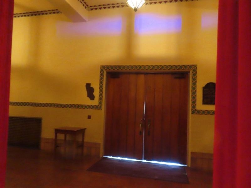
Location. 37° 20.961′ N, 121° 56.476′ W. Marker is in Santa Clara, California, in Santa Clara County. It can be reached from Alviso Street north of Palm Drive, on the left when traveling north. Inside the foyer of Mission Santa Clara by the central entrance door. Touch for map. Marker is at or near this postal address: 500 El Camino Real, Santa Clara CA 95050, United States of America. Touch for directions.

Regionally, this marker is in the San Francisco Bay Area, in Silicon Valley, and on the Coast Ranges. It is also on the American Pacific Coast. Globally, it is in North America, on the Ring of Fire, on the Pacific Rim, in the Western Hemisphere, in the Western World, and in the Anglosphere. Historically, it finds
this page online
Other nearby markers. At least 8 other markers are within walking distance of this marker: Mission Santa Clara de Asís (here, next to this marker); Memorial Roses (a few steps from this marker); Father Magin Catala (a few steps from this marker); Original Cross (within shouting distance of this marker); The Changing Church (within shouting distance of this marker); The Five Sites of Santa Clara de Asís Mission (within shouting distance of this marker); Old Adobe Wall/Olive Trees (about 300 feet away, measured in a direct line); Mission Santa Clara (about 300 feet away). Touch for a list and map of all markers in Santa Clara.
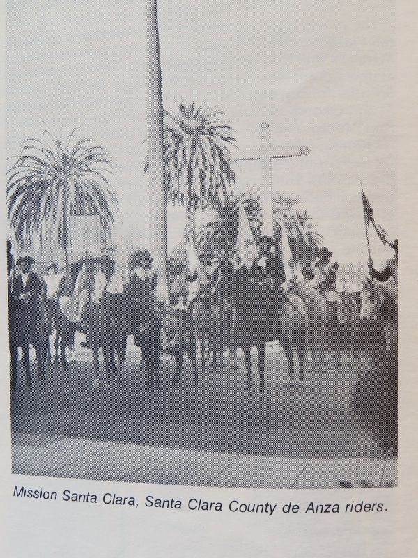
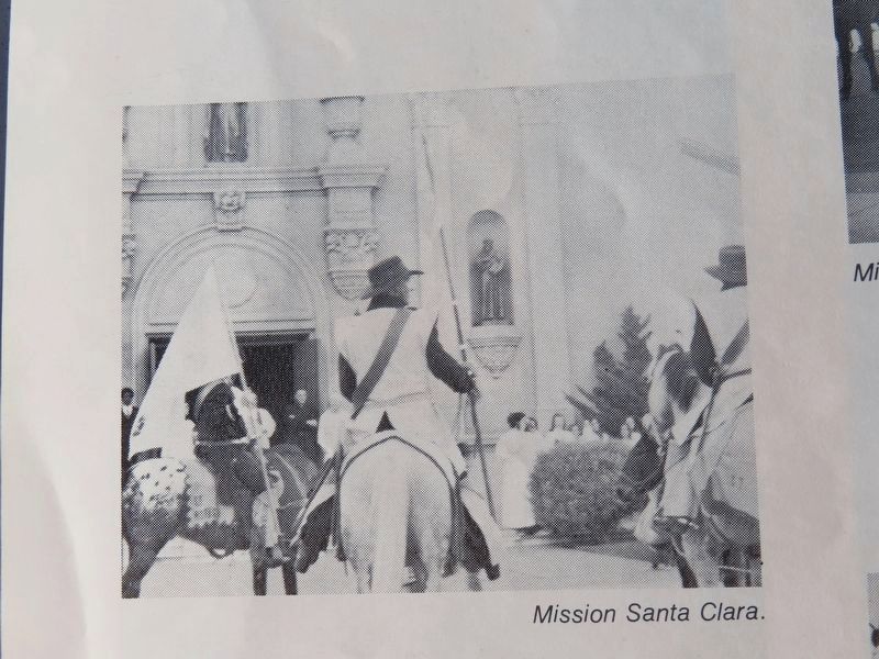
Regarding De Anza Expedition 1775-1776. Plaque designed by Doris Birkland Beezley. Installed as one in a series along the Anza Expedition route in California commemorating both Anza and the USA Bicentennial’s Juan Bautista de Anza Expedition Reenactment between August 1975 to June 1976. Reenactor equestrians visited Mission Santa Clara on March 30, 1976 where there were multiple public events. The Reenactment followed to the day Anza’s
Photographed by Alice Mansell, October 1, 2026
2. Marker at left of Mission Santa Clara doors
Photographed by Alice Mansell, October 3, 2026
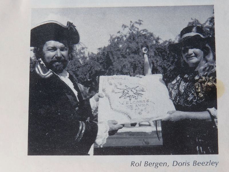
3. Juan Bautista De Anza Expedition 1775-1776 Marker
Plaque artist Doris Birkland Beezley with Anza reenactor Tom Bergen with a cake by Birkland’s Anza plaque while unveiled in Sunnyvale on March 30, 1976.
Photographed by Alice Mansell, October 3, 2026
4. Juan Bautista De Anza Bicentennisl Expedition outside Mission Santa Clara
Photographed by Alice Mansell, October 3, 2026
5. 1976 Bicentennial Anza reenactors outside Mission Santa Clara
Credits. This page was last revised on October 15, 2026. It was originally submitted on October 2, 2026, by Alice Mansell of Los Altos, California. This page has been viewed 18 times since then. Photos: 1, 2. submitted on October 2, 2026, by Alice Mansell of Los Altos, California. 3, 4, 5. submitted on October 3, 2026, by Alice Mansell of Los Altos, California. • Devry Becker Jones was the editor who published this page.
