Paola in Miami County, Kansas — The American Midwest (Upper Plains)
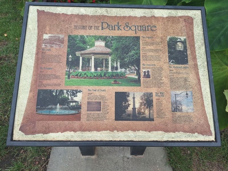
History of the Park Square
Photographed by Jason Voigt, September 21, 2026
1. History of the Park Square Marker
The Park
1858 - The City Park is donated by Baptiste Peoria, Chief of the Confederate Tribes, with the provision that no building should ever he placed there. In the early days, the park area was an open commons where American Indians ran horse races and gathered for dances.
The Fountain
1871 - The square is to be planted in evergreens and with the wide gravel walks and fountain in the center, the public square of Paola will be the most beautiful in the state.
1893 - A fountain is placed in the center of the Square. The city approved the present design in 1912.
The Trail of Death
1838 - The removal of the Potawatomi Indians from northern Indiana to Kansas took place September to November 1838. Nearly 900 Indians were rounded up by soldiers and marched at gunpoint for 61 days. So many died on the way and were buried by the roadside that the path is called the Trail of Death. On Nov. 3, 1838,the group reached the settlement of the Wea Indians on Bull Creek and camped by Bulltown, which is now Paola.
The Gazebo
1870 - On a motion of Councilman Haughey, the Paola City Council passes an appropriation of $75
this page online
1912 - The city commissions noted architect George Washburn of Ottawa to create the present Park Square design.
2009 - A gazebo and fountain renovation is completed, funded by Mr. and Mrs. Jackson W. Goss in memory of Jackson's parents, Clinton C. and Mary Ellen Goss, and their family.
The Founders
Baptiste Peoria, the town's founding father, and his wife, Mary Ann Isaacs Dagenet Peoria, known as "Mother Batees," oversaw the birth and growth of Paola. Baptiste is credited with ensuring that the Squire was kept for recreation, and Mary Ann provided land for a Catholic church, carried out a number of charitable acts, and used her influence to help Paola become the county seat. She loved Paola so much that she refused to leave, despite a government relocation order for her to do so.
The Welsbach Lights
1886 - Paola is the first city west of the Mississippi to use gas commercially.
2005 - During the city's sesquicentennial celebration, Kansas Gov. Kathleen Sebelius presents a proclamation recognizing the historical significance of the gas lights. Prior to the celebration, city officials
Photographed by Jason Voigt, September 21, 2026
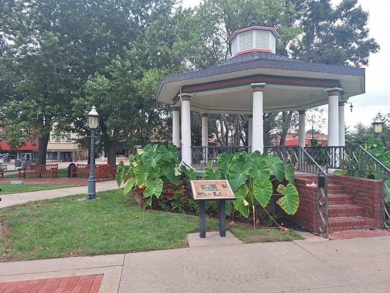
2. History of the Park Square Marker
The WWI Memorial
1916 - A memorial honoring the heroism, patriotism, loyalty and courage of American soldiers is erected by the schoolchildren of Miami County and the D.O. Sellers family.
2010 - Sixteen replicas, funded by Mr. and Mrs. Jackson W. Goss, complement the historic area. The Welsbach replicas, dedicated to Miami County Veterans, and hereafter known as the Veterans Lights.
Topics and series. This historical marker is listed in these topic lists: Indigenous Peoples and Communities • Parks & Recreational Areas • War, World I. In addition, it is included in the Potawatomi Trail of Death series list. A significant historical month for this entry is November 1838.
Location. 38° 34.344′ N, 94° 52.709′ W. Marker is in Paola, Kansas, in Miami County. It can be reached from the intersection of East Peoria Street and South Silver Street. Marker is located near the center of Paola City Park. Touch for map. Marker is at or near this postal address: 19 E Peoria St, Paola KS 66071,
Photographed by Jason Voigt, September 21, 2026
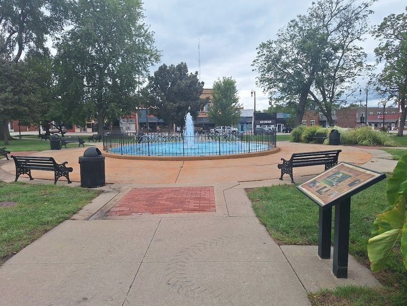
3. History of the Park Square Marker

Regionally, this marker is in Eastern Kansas, specifically in Bleeding Kansas Border War Country, and in Greater Kansas City. It is also in the American Midwest, in the Corn Belt, on the prairies, on the Southern Plains, and on the Santa Fe Trail Corridor. Globally, it is in North America, the Western Hemisphere, the Western World, and the Anglosphere. Historically, it finds itself in what was once the Louisiana Purchase.
Other nearby markers. At least 8 other markers are within walking distance of this marker: The Potawatomi Indians Trail of Death (a few steps from this marker); Baptiste & Mary Ann Peoria (within shouting distance of this marker); Paola Veterans' Memorial (within shouting distance of this marker); Miami County Historical Museum (about 400 feet away, measured in a direct line); City Hall Fire Bell (about 500 feet away); Miami County History (about 600 feet away); Paola Pathways (approx. ¾ mile away); Miami County Veterans Memorial (approx. 0.8 miles away). Touch for a list and map of all markers in Paola.
Credits. This page was last revised on October 2, 2026. It was originally submitted on October 2, 2026, by Jason Voigt of Glen Carbon, Illinois. This page has been viewed 6 times since then. Photos: 1, 2, 3. submitted on October 2, 2026, by Jason Voigt of Glen Carbon, Illinois.
