Charlestown in Washington County, Rhode Island — The American Northeast (New England)
Cross' Mills Common Burying Ground
Photographed by Devry Becker Jones (CC0), September 17, 2026
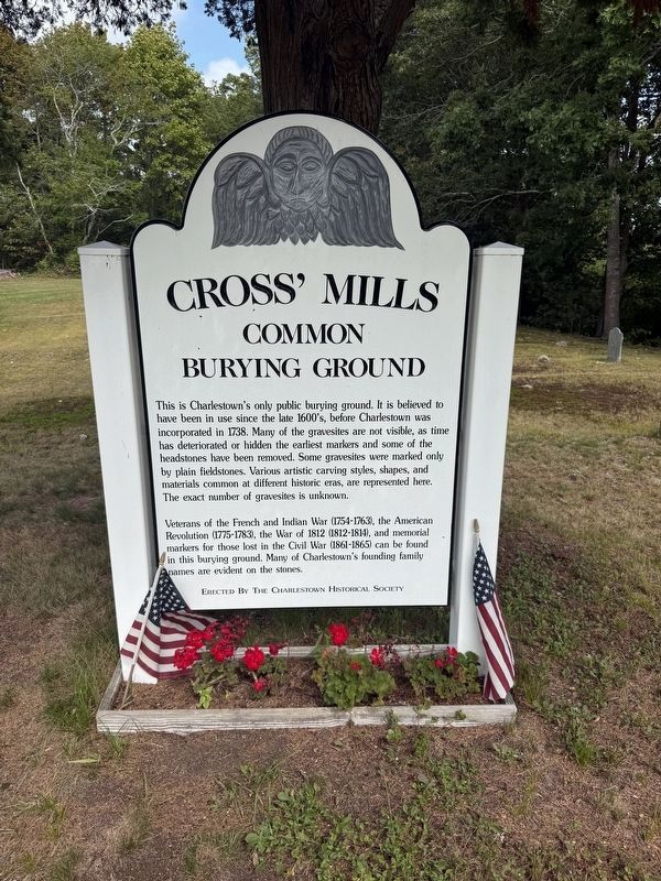
1. Cross' Mills Common Burying Ground Marker
This is Charlestown's only public burying ground It is believed to have been in use since the late 1600's, before Charlestown was incorporated in 1738. Many of the gravesites are not visible, as time has deteriorated or hidden the earliest markers and some of the headstones have been removed. Some gravesites were marked only by plain fieldstones. Various artistic carving styles, shapes, and materials common at different historic eras, are represented here. The exact number of gravesites is unknown.
Veterans of the French and Indian War (1754-1763), the American Revolution (1775-1783), the War of 1812 (1812-1814), and memorial markers for those lost in the Civil War (1861-1865) can be found in this burying ground. Many of Charlestown's founding family names are evident on the stones.
Erected by the Charlestown Historical Society.
Topics. This historical marker is listed in these topic lists: Cemeteries & Burial Sites • Colonial Era • Military • Settlements & Settlers. A significant historical year for this entry is 1738.
Location. 41° 22.906′ N, 71° 38.471′ W. Marker is in Charlestown, Rhode Island,
this page online

Regionally, this marker is on Narragansett Bay and in South County. It is also in the American Northeast, in New England, and on the Eastern Seaboard. Globally, it is in the North Atlantic Region, North America, the Western Hemisphere, the Western World, and the Anglosphere. Historically, it finds itself in what was once one of the original Thirteen Colonies.
Other nearby markers. At least 8 other markers are within 2 miles of this marker, measured as the crow flies: Cross' Mills (about 800 feet away, measured in a direct line); Fort Ninigret (approx. 0.3 miles away); a different marker also named Fort Ninigret (approx. 0.4 miles away); Charlestown Naval Auxiliary Landing Field Memorial (approx. 1.4 miles away); Grumman F6F-5N Hellcat Crash (approx. 1.4 miles away); Liberty Tree Memorial (approx. 1.4 miles away);
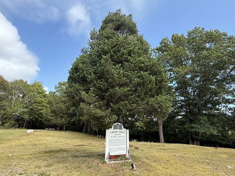
Photographed by Devry Becker Jones (CC0), September 17, 2026
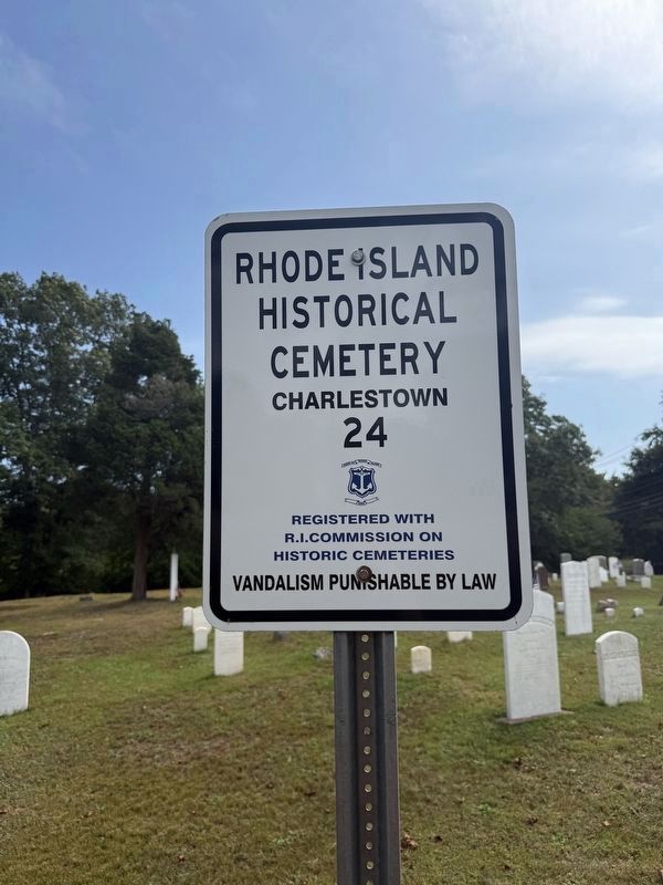
3. Rhode Island Historical Cemetery Signage
Historical
Cemetery
Charlestown
24
Registered with R.I. Commission on Historic Cemeteries
Vandalism punishable by law
Credits. This page was last revised on October 3, 2026. It was originally submitted on October 3, 2026, by Devry Becker Jones of Washington, District of Columbia. This page has been viewed 9 times since then. Photos: 1, 2, 3. submitted on October 3, 2026, by Devry Becker Jones of Washington, District of Columbia.
