Pennsville in Pennsville Township in Salem County, New Jersey — The American Northeast (Mid-Atlantic)
Finn's Point National Cemetery
Photographed by Devry Becker Jones (CC0), September 20, 2026
1. Finn's Point National Cemetery Marker
Fort Delaware
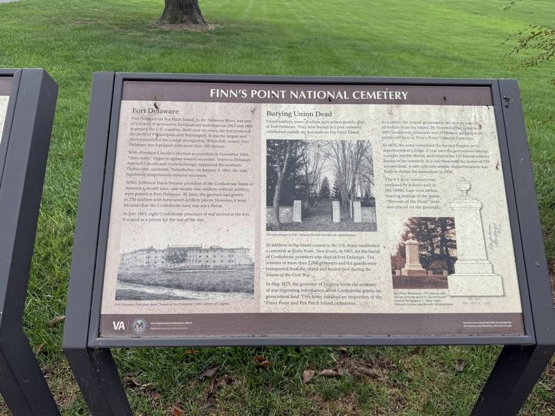
Fort Delaware on Pea Patch Island, in the Delaware River, was part of a system of permanent fortifications built between 1817 and 1861 to protect the U.S. coastline. Built over ten years, the fort protected the ports of Philadelphia and Wilmington. It was the largest and most powerful of the coastal strongholds. When fully armed, Fort Delaware was equipped with more than 150 cannon.
With Abraham Lincoln’s election as president in November 1860, "slave states" began to agitate toward secession. Voters in Delaware rejected Lincoln and overwhelmingly supported the southern Democratic candidate. Nonetheless, on January 3, 1861, the state legislature unanimously rejected secession.
When Jefferson Davis became president of the Confederate States of America a month later, only twenty-one soldiers, without artillery, were posted at Fort Delaware. By June, the garrison had grown to 250 soldiers with forty-seven artillery pieces. However, it soon became clear the Confederate navy was not a threat.
In July 1861, eight Confederate prisoners of war arrived at the fort. It served as a prison for the rest of the
this page online
Burying Union Dead
Union soldiers, many of whom were prison guards, died at Fort Delaware. They were buried in a post cemetery established outside the fort walls on Pea Patch Island.
In addition to the island cemetery, the U.S. Army established a cemetery at Finns Point, New Jersey, in 1863, for the burial of Confederate prisoners who died at Fort Delaware. The remains of more than 2,000 prisoners and ten guards were transported from the island and buried here during the course of the Civil War.
In May 1875, the governor of Virginia wrote the secretary of war requesting information about Confederate graves on government land. This letter initiated an inspection of the Finns Point and Pea Patch Island cemeteries.
As a result, the federal government decided to remove all burials from the island. By November the remains of 209 Confederate prisoners and 135 Union soldiers were reinterred here at Finn’s Point National Cemetery.
In 1878, the army completed the Second Empire-style superintendent’s lodge. A year later the government erected a simple marble obelisk dedicated to the 135 federal soldiers buried in the cemetery.
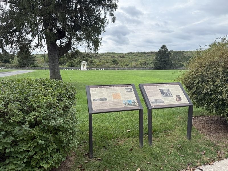
Photographed by Devry Becker Jones (CC0), September 20, 2026
2. Finn's Point National Cemetery Marker
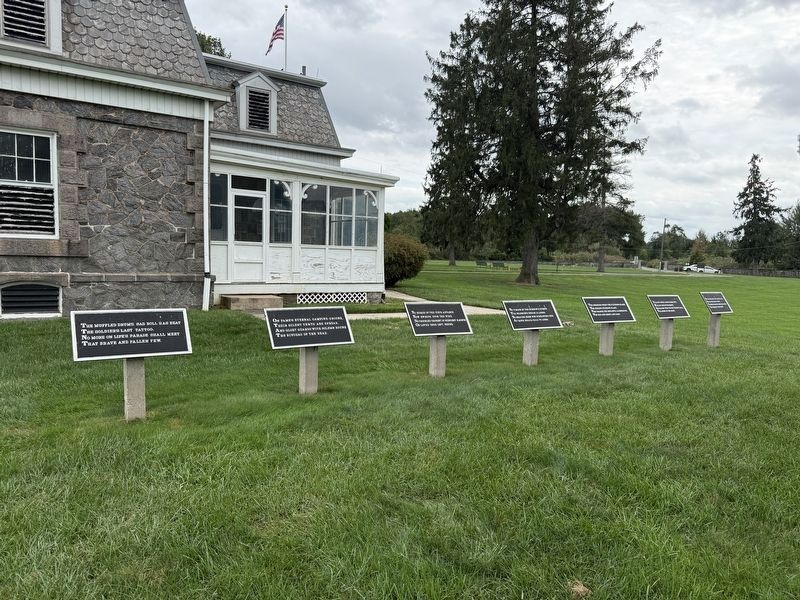
The 4.5-acre cemetery was enclosed by a stone wall in the 1880s. Cast-iron tablets bearing stanzas of the poem "Bivouac of the Dead" were also placed on the grounds.
Erected by National Cemetery Administration, U.S. Department of Veterans Affairs.
Topics and series. This historical marker is listed in these topic lists: Cemeteries & Burial Sites • War, US Civil. In addition, it is included in the National Cemeteries series list. A significant historical date for this entry is January 3, 1861.
Location. 39° 36.687′ N, 75° 33.322′ W. Marker is in Pennsville Township, New Jersey, in Salem County. It is in Pennsville. It is on Cemetery Road 0.7 miles north of Fort Mott Road, on the left when traveling north. Touch for map. Marker is at or near this postal address: 456 Fort Mott Rd, Pennsville NJ 08070, United States of America. Touch for directions.

Regionally, this marker is in Greater Wilmington, in South Jersey, and in Greater Philadelphia. It is also in the American Northeast, in the Mid-Atlantic,
Other nearby markers. At least 8 other markers are within walking distance of this marker: A National Cemetery System (here, next to this marker); Address by President Lincoln (here, next to this marker); Confederate Burials in the National Cemetery (a few steps from this marker); Medal of Honor Tree Memorial (within shouting distance of this marker); Veterans Memorial (within shouting distance of this marker); Confederate Monument (within shouting distance of this marker); Union Monument (within shouting distance of this marker); Prisoner-of-War Burials (about 300 feet away, measured in a direct line). Touch for a list and map of all markers in Pennsville Township.
Credits. This page was last revised on October 9, 2026. It was originally submitted on October 4, 2026, by Devry Becker Jones of Washington, District of Columbia. This page has been viewed 4 times since then. Photos: 1, 2, 3. submitted on October 4, 2026, by Devry Becker Jones of Washington, District of Columbia.
