Warner in Merrimack County, New Hampshire — The American Northeast (New England)
Mount Kearsarge and the U.S.S. Kearsarge
Photographed by Jimmy Emerson, October 2, 2026
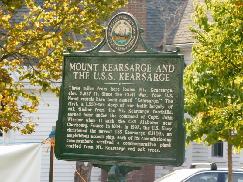
1. Mount Kearsarge and the U.S.S. Kearsarge Marker
Three miles from here looms Mt. Kearsarge, elev. 2,937 ft. Since the Civil War, four U.S. Naval vessels have been named "Kearsarge." The first, a 1,550-ton sloop of war built largely of oak timber from the Mt. Kearsarge foothills, earned fame under the command of Capt. John Winslow when it sank the CSS Alabama near Cherbourg, France in 1864. In 1992, the U.S. Navy christened the newest USS Kearsarge (LHD3), an amphibious assault ship, each of its commissioning crewmembers received a commemorative plank crafted from Mt. Kearsarge red oak trees.
Erected 2014 by New Hampshire Division of Historical Resources. (Marker Number 243.)
Topics. This historical marker is listed in these topic lists: Horticulture & Forestry • War, US Civil • Waterways & Vessels. A significant historical year for this entry is 1864.
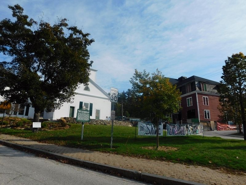
Location. 43° 16.884′ N, 71° 48.994′ W. Marker is in Warner, New Hampshire, in Merrimack County. It is at the intersection of Kearsarge Mountain Road and Church Street, on the right when traveling north on Kearsarge Mountain Road. Touch for map. Marker is at or near this postal address: 2 Church St, Warner
this page online

Regionally, this marker is in the American Northeast and in New England. Globally, it is in North America, the Western Hemisphere, the Western World, and the Anglosphere. Historically, it finds itself in what was once one of the original Thirteen Colonies.
Other nearby markers. At least 8 other markers are within 7 miles of this marker, measured as the crow flies: Warner (a few steps from this marker); Lafayette's Tour (within shouting distance of this marker); W.C. Harriman House (approx. 2 miles away); Waterloo Historical District (approx. 2 miles away); Daniel Bean House & Tavern (approx. 2 miles away); Nehemiah Ordway House (approx. 2 miles away); John Sargent Pillsbury (approx. 6½ miles away); Contoocook Railroad Bridge and Depot (approx. 6½ miles away). Touch for a list and map of all markers in Warner.
Photographed by Jimmy Emerson, October 2, 2026
2. Mount Kearsarge and the U.S.S. Kearsarge Marker
Credits. This page was last revised on October 6, 2026. It was originally submitted on October 4, 2026, by Jimmy Emerson of Dalton, Georgia. This page has been viewed 11 times since then. Photos: 1, 2. submitted on October 4, 2026, by Jimmy Emerson of Dalton, Georgia. • Bernard Fisher was the editor who published this page.
