Near Rockerville in Pennington County, South Dakota — The American Midwest (Upper Plains)
Discover the Black Hills National Forest
Caring for the Land and Serving People
Photographed by William Fischer, Jr., September 21, 2026
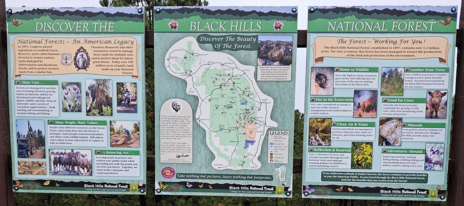
1. Discover the Black Hills National Forest Marker Panels
[Panel 1]
National Forests ~ An American Legacy
In 1891, Congress passed legislation to establish Forest Reserves (now called National Forests) to restore eastern lands damaged by deforestation and disastrous floods; and to protect western lands from a similar fate.
Theodore Roosevelt and other visionaries vowed to manage these lands for multiple uses and to protect them for future generations. Today, over 190 million acres of public land make up your National Forests.
Many Uses...
Forests are managed for multiple uses including: livestock grazing; timber production; habitat for threatened and endangered plants, wildlife and fish; clean air and water; and a variety of recreation opportunities - from hunting and snowmobiling, to mou[n]tain biking and fishing.
Many People, Many Values ...
People value different resources on the Forest. These values help drive how the Forest is managed. Some people want forest products and others want wildlife habitat. Still others want a place to four-wheel drive or a place to hike in wilderness.
A Balancing Act...
It is important to protect and restore your public lands while
this page online
[Panel 2 excerpts]
Called Paha Sapa, literally meaning "Hills that are Black", the Lakota Sioux Indians were the first to name these dark forested hills. The cultural interpretation is "the heart of everything that is."
———————————————————
[Map of the Black Hills National Forest]
———————————————————
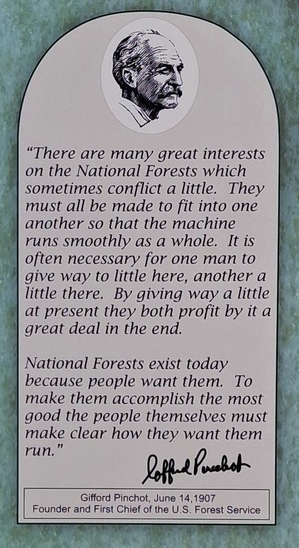
"There are many great interests on the National Forests which sometimes conflict a little. They must all be made to fit into one another so that the machine runs smoothly as a whole. It is often necessary for one man to give way to little here, another a little there. By giving way a little at present they both profit by it a great deal in the end.
National Forests exist today because people want them. To make them accomplish the most good the people themselves must make clear how they want them run."
Gifford Pinchot, June 14,1907
Founder and First Chief of the U.S. Forest Service
[Panel 3]
The Forest ~ Working For You!
The Black Hills National Forest, established in 1897, contains over 1.2 million acres. For over
Photographed by William Fischer, Jr., September 21, 2026
2. Discover the Black Hills National Forest Marker Panel 2 Excerpt
[Balance of panel is informational]
From wilderness solitude to timber harvest, the forest continues to provide benefits to you, the American Public. As you travel through the Black Hills National Forest, look for the benefits that you receive from the Forest!
Erected by United States Forest Service.
Topics. This historical marker is listed in these topic lists: Charity & Public Work • Environment • Horticulture & Forestry • Parks & Recreational Areas. A significant historical date for this entry is June 14, 1907.
Location. 43° 58.06′ N, 103° 20.866′ W. Marker is near Rockerville, South Dakota, in Pennington County. It is on U.S. 16, on the right when traveling west. Marker pullout is about 7.5 miles southwest of the Rapid City junction of US Hwy 16 and the US Hwy 16 Truck Bypass. Touch for map. Marker is at or near this postal address: 13554 US Highway 16, Rapid City SD 57702, United States of America. Touch for directions.

Regionally, this marker is in West River, in the Badlands, and in Greater Rapid City. It is also in the American Black Hills, in the Lewis & Clark Corridor, on the prairies, and on the Northern Plains. Globally, it is in North America, the Western Hemisphere, the Western World, and the Anglosphere. Historically, it finds itself in what was once Rupert’s Land and also the Louisiana Purchase.
Other nearby markers. At least 8 other markers are within 6 miles of this marker, measured as the crow flies: "Great Unconformity" Geology (a few steps from this marker); Explorer II (approx. 0.8 miles away); Wilderness (approx. 5.7 miles away); Black Elk Wilderness (approx. 5.7 miles away); Holy Terror Mine (approx. 6 miles away); Site of Ernest "Peg Leg" Haase Blacksmith Shop
Photographed by William Fischer, Jr., September 21, 2026
3. Discover the Black Hills National Forest Markers
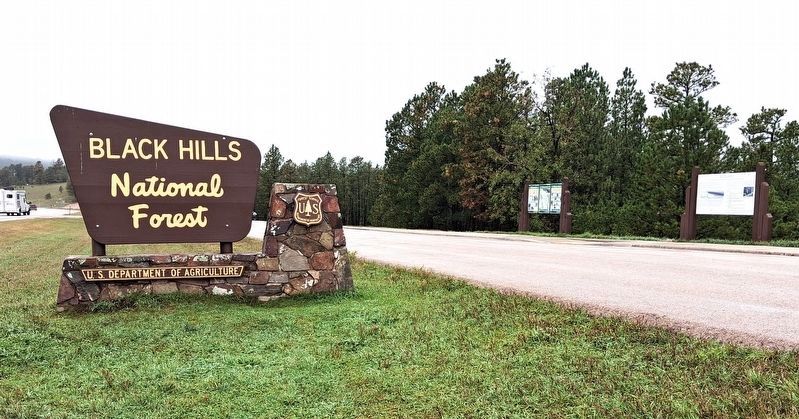
Near distant center of photo
Also see . . . Black Hills National Forest. (Submitted on October 5, 2026, by William Fischer, Jr. of Reynoldsburg, Ohio.)
Credits. This page was last revised on October 5, 2026. It was originally submitted on October 5, 2026, by William Fischer, Jr. of Reynoldsburg, Ohio. This page has been viewed 7 times since then. Photos: 1, 2, 3. submitted on October 5, 2026, by William Fischer, Jr. of Reynoldsburg, Ohio.
