Randolph Center in Orange County, Vermont — The American Northeast (New England)
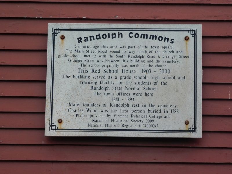
Randolph Commons
Photographed by Jimmy Emerson, October 2, 2026
1. Randolph Commons Marker
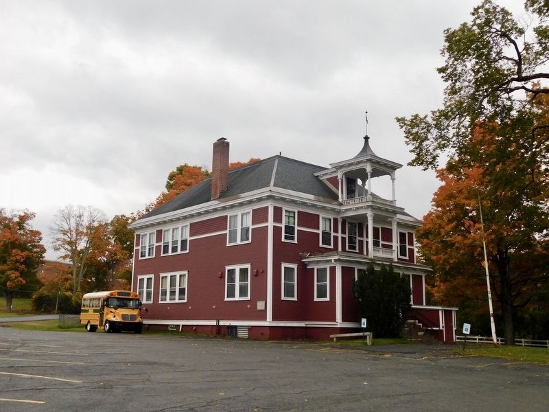
This Red School House 1903 - 2000
The building served as a grade school, high school and training facility for the students of the Randolph State Normal School
The town offices were here 1881-1894
Many founders of Randolph rest in the cemetery
Charles Wood was the first person buried in 1788
Plaque provided by Vermont Technical College and Randolph Historical Society 2009
National Historic Register # 74000245
Erected 2009 by Vermont Technical College and Randolph Historical Society.
Topics. This historical marker is listed in these topic lists: Cemeteries & Burial Sites • Education • Roads & Vehicles. A significant historical year for this entry is 1903.
Location. 43° 56.24′ N, 72° 36.355′ W. Marker is in Randolph Center, Vermont, in Orange County. It is on South Randolph Road, on the left when traveling south.
this page online

Regionally, this marker is in the Connecticut River Valley and in the Green Mountains. It is also in the American Northeast and in New England. Globally, it is in North America, the Western Hemisphere, the Western World, and the Anglosphere. Historically, it finds itself in what was once the Vermont Republic.
Other nearby markers. At least 8 other markers are within 8 miles of this marker, measured as the crow flies: Jonathan Peckham Miller (about 700 feet away, measured in a direct line); Randolph (approx. 0.2 miles away); Randolph State Normal School (approx. 0.2 miles away); Justin Morgan Log Cabin Home Site (approx. 3.6 miles away); Tunbridge World's Fair (approx. 6.6 miles away); Tunbridge Civil War Memorial (approx. 6.6 miles away); The Floating Bridge (approx. 7.3 miles away); Eighteen Hundred And Froze To Death / United Church Of Bethel (approx. 7.4 miles away).
Photographed by Jimmy Emerson, October 2, 2026
2. Randolph Commons Marker and Old Red Schoolhouse
Credits. This page was last revised on October 13, 2026. It was originally submitted on October 5, 2026, by Jimmy Emerson of Dalton, Georgia. This page has been viewed 5 times since then. Photos: 1, 2. submitted on October 5, 2026, by Jimmy Emerson of Dalton, Georgia. • Andrew Ruppenstein was the editor who published this page.
