Custer in Custer County, South Dakota — The American Midwest (Upper Plains)
George Armstrong Custer
"George"
Photographed by William Fischer, Jr., September 22, 2026
1. George Armstrong Custer Marker
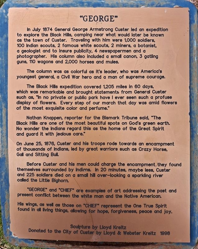
In July 1874 General George Armstrong Custer led an expedition to explore the Black Hills, camping near what would later be known as the town of Custer. Traveling with him were 1,000 soldiers, 100 Indian scouts, 2 famous white scouts, 2 miners, a botanist, a geologist and to insure publicity, 4 newspapermen and a photographer. His column also included a small can[n]on, 3 gatling guns, 110 wagons and 2,000 horses and mules.
The column was as colorful as it's leader, who was America's youngest general, a Civil War hero and a man of supreme courage.
The Black Hills expedition covered 1,205 miles in 60 days, which was remarkable and brought statements from General Custer such as, "In no private or public park have I ever seen such a profuse display of flowers. Every step of our march that day was amid flowers of the most exquisite color and perfume."
Nathan Knappen, reporter for the Bismark Tribune said, "The Black Hills are one of the most beautiful spots on God's green earth. No wonder the Indians regard this as the home of the Great Spirit and guard it with jealous care."
On June 25, 1876, Custer and
this page online
Before Custer and his men could charge the encampment, they found themselves surrounded by Indians. In 20 minutes, maybe less, Custer and 225 soldiers died on a small hill over-looking a sparkling river called the Little Bighorn.
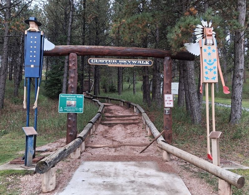
"GEORGE" and "CHIEF" are examples of art addressing the past and present conflict between the white man and the Native American.
His wings, as well as those on "CHIEF" represent the One True Spirit found in all living things, allowing for hope, forgiveness, peace and joy.
Sculpture by Lloyd Kreitz
Donated to the City of Custer by Lloyd & Webster Kreitz 1998
Erected by City of Custer.
Topics. This historical marker is listed in these topic lists: Disasters • Exploration • Indigenous Peoples and Communities • Wars, US Indian. A significant historical date for this entry is June 25, 1876.
Location. 43° 45.879′ N, 103° 35.861′ W. Marker is in Custer, South Dakota, in Custer County. It is at the intersection of French Creek Drive and 6th Street, on the right when traveling
Photographed by William Fischer, Jr., September 22, 2026
2. George Armstrong Custer Marker and Sculpture

Regionally, this marker is in West River and in Greater Rapid City. It is also in the American Black Hills, in the Lewis & Clark Corridor, on the prairies, and on the Northern Plains. Globally, it is in North America, the Western Hemisphere, the Western World, and the Anglosphere. Historically, it finds itself in what was once Rupert’s Land and also the Louisiana Purchase.
Other nearby markers. At least 8 other markers are within walking distance of this marker: Chief Sitting Bull (here, next to this marker); Big Rock Park & Pageant Hill (here, next to this marker); Welcome to the Harbach Trailhead (about 300 feet away, measured in a direct line); General George A. Custer (about 400 feet away); a different marker also named Big Rock Park & Pageant Hill (about 400 feet away); Custer Veterans Memorial (about 500 feet away); L. Cpl. Cody Glenn Engen (about 600 feet away); First National Bank of Dakota Territory (about 700 feet away). Touch for a list and map of all markers in Custer.
Credits. This page was last revised on October 5, 2026. It was originally submitted on October 5, 2026, by William Fischer, Jr. of Reynoldsburg, Ohio. This page has been viewed 5 times since then. Photos: 1, 2. submitted on October 5, 2026, by William Fischer, Jr. of Reynoldsburg, Ohio.
